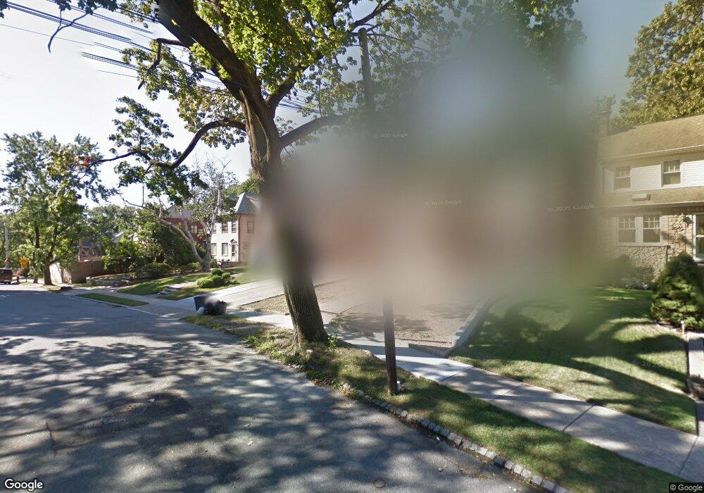
8660 Palo Alto St Hollis, NY 11423
Holliswood NeighborhoodEstimated Value: $1,156,000 - $1,330,000
--
Bed
--
Bath
1,982
Sq Ft
$614/Sq Ft
Est. Value
About This Home
This home is located at 8660 Palo Alto St, Hollis, NY 11423 and is currently estimated at $1,217,000, approximately $614 per square foot. 8660 Palo Alto St is a home located in Queens County with nearby schools including P.S. 35 Nathaniel Woodhull, I.S. 238 Susan B Anthony Academy, and The Wellspring Schools.
Ownership History
Date
Name
Owned For
Owner Type
Purchase Details
Closed on
Aug 11, 2020
Sold by
Estate Of Violet J Romann
Bought by
Arjun Narindra and Ramsarran Amit Jeetindra
Current Estimated Value
Home Financials for this Owner
Home Financials are based on the most recent Mortgage that was taken out on this home.
Original Mortgage
$665,000
Interest Rate
2.9%
Mortgage Type
New Conventional
Create a Home Valuation Report for This Property
The Home Valuation Report is an in-depth analysis detailing your home's value as well as a comparison with similar homes in the area
Home Values in the Area
Average Home Value in this Area
Purchase History
| Date | Buyer | Sale Price | Title Company |
|---|---|---|---|
| Arjun Narindra | $950,000 | -- |
Source: Public Records
Mortgage History
| Date | Status | Borrower | Loan Amount |
|---|---|---|---|
| Previous Owner | Arjun Narindra | $665,000 |
Source: Public Records
Tax History Compared to Growth
Tax History
| Year | Tax Paid | Tax Assessment Tax Assessment Total Assessment is a certain percentage of the fair market value that is determined by local assessors to be the total taxable value of land and additions on the property. | Land | Improvement |
|---|---|---|---|---|
| 2025 | $11,702 | $61,756 | $21,064 | $40,692 |
| 2024 | $11,702 | $58,260 | $22,485 | $35,775 |
| 2023 | $11,273 | $56,125 | $18,863 | $37,262 |
| 2022 | $10,570 | $60,480 | $22,020 | $38,460 |
| 2021 | $11,143 | $56,340 | $22,020 | $34,320 |
| 2020 | $11,123 | $54,540 | $22,020 | $32,520 |
| 2019 | $10,371 | $55,800 | $22,020 | $33,780 |
| 2018 | $9,237 | $46,771 | $16,042 | $30,729 |
| 2017 | $8,695 | $44,125 | $17,320 | $26,805 |
| 2016 | $8,511 | $44,125 | $17,320 | $26,805 |
| 2015 | $4,801 | $43,791 | $21,119 | $22,672 |
| 2014 | $4,801 | $41,313 | $20,406 | $20,907 |
Source: Public Records
Map
Nearby Homes
- 86-55 Santiago St
- 8714 Santiago St
- 190-22 Nero Ave
- 8716 Palo Alto St
- 8684 188th St
- 8702 188th St
- 8702 Chevy Chase St
- 19127 Foothill Ave
- 186-34 Henley Rd
- 195-12 Mclaughlin Ave
- 19346 Mclaughlin Ave
- 19512 Mclaughlin Ave
- 19615 Como Ave
- 193-03 85th Rd
- 184-51 Hovenden Rd
- 195-22 Mclaughlin Ave
- 187-14 Wexford Terrace
- 193-55 85th Rd
- 8746 Chelsea St Unit 6E
- 8746 Chelsea St Unit 7H
- 8660 Palo Alto St
- 8664 Palo Alto St
- 8656 Palo Alto St
- 8670 Palo Alto St
- 8670 Palo Alto St
- 8652 Palo Alto St
- 8676 Palo Alto St
- 86-76 Palo Alto St Unit 1
- 86-76 Palo Alto St
- 8646 Palo Alto St
- 8647 Santiago St
- 8651 Santiago St
- 8645 Santiago St
- 8655 Santiago St
- 86-45 Santiago St
- 8636 Palo Alto St
- 86-67 Palo Alto St Unit 1
- 86-67 Palo Alto St Unit 2
- 8667 Palo Alto St
- 8641 Santiago St