8660 Phillips Ln Athens, OH 45701
Estimated Value: $584,000 - $976,000
3
Beds
3
Baths
3,447
Sq Ft
$213/Sq Ft
Est. Value
About This Home
This home is located at 8660 Phillips Ln, Athens, OH 45701 and is currently estimated at $735,367, approximately $213 per square foot. 8660 Phillips Ln is a home located in Athens County with nearby schools including West Elementary School, Athens Middle School, and Athens High School.
Ownership History
Date
Name
Owned For
Owner Type
Purchase Details
Closed on
Jun 3, 2019
Sold by
Cornwell Anne L and Cornwell Anne
Bought by
The Anne Leslie Cornwell Trust
Current Estimated Value
Purchase Details
Closed on
Jan 15, 2009
Sold by
Solich Frank T and Solich Pamela J
Bought by
Ginder Michael D and Cornwell Anne L
Home Financials for this Owner
Home Financials are based on the most recent Mortgage that was taken out on this home.
Original Mortgage
$388,000
Interest Rate
5.53%
Mortgage Type
Purchase Money Mortgage
Create a Home Valuation Report for This Property
The Home Valuation Report is an in-depth analysis detailing your home's value as well as a comparison with similar homes in the area
Home Values in the Area
Average Home Value in this Area
Purchase History
| Date | Buyer | Sale Price | Title Company |
|---|---|---|---|
| The Anne Leslie Cornwell Trust | -- | None Available | |
| Ginder Michael D | $485,000 | Attorney |
Source: Public Records
Mortgage History
| Date | Status | Borrower | Loan Amount |
|---|---|---|---|
| Closed | Ginder Michael D | $388,000 |
Source: Public Records
Tax History
| Year | Tax Paid | Tax Assessment Tax Assessment Total Assessment is a certain percentage of the fair market value that is determined by local assessors to be the total taxable value of land and additions on the property. | Land | Improvement |
|---|---|---|---|---|
| 2024 | $21,021 | $214,960 | $20,230 | $194,730 |
| 2023 | $11,118 | $214,960 | $20,230 | $194,730 |
| 2022 | $9,506 | $174,780 | $20,230 | $154,550 |
| 2021 | $9,546 | $174,780 | $20,230 | $154,550 |
| 2020 | $9,535 | $174,780 | $20,230 | $154,550 |
| 2019 | $9,561 | $177,860 | $18,080 | $159,780 |
| 2018 | $9,442 | $177,860 | $18,080 | $159,780 |
| 2017 | $16,516 | $177,860 | $18,080 | $159,780 |
| 2016 | $8,601 | $166,940 | $17,130 | $149,810 |
| 2015 | $15,881 | $166,940 | $17,130 | $149,810 |
| 2014 | $15,881 | $166,940 | $17,130 | $149,810 |
| 2013 | $14,919 | $160,990 | $14,000 | $146,990 |
Source: Public Records
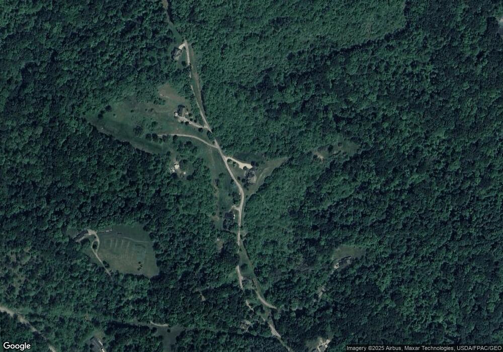
Map
Nearby Homes
- 0 E State St Unit 226002681
- 58 Lorene Ave
- 14 Euclid Dr
- 0 Nottingham Dr
- 199 Longview Heights Rd
- 37 Euclid Dr
- 121 Morris Ave
- 104 Sunnyside Dr
- 44 Strathmore Blvd
- 58 Strathmore Blvd
- 12 McGuffey Ln
- 305 E State St
- 49 Curtis St
- 61 Mulligan Rd
- 64 Franklin Ave
- 130 Longview Heights Rd
- 80 Court
- 123 Grosvenor St
- 11 Forest St
- 0 Coventry Ln
- 8585 Phillips Ln
- 8675 Phillips Ln
- 8564 Phillips Ln
- 8705 Phillips Ln
- 8447 Phillips Ln
- 8455 Phillips Ln
- 8422 Phillips Ln
- 8400 Rock Riffle Rd
- 8833 Phillips Ln
- 8252 Rock Riffle Rd
- 8266 Rock Riffle Rd
- 8465 Rock Riffle Rd
- 8581 Terrell Rd
- 8481 Rock Riffle Rd
- 8505 Rock Riffle Rd
- 8588 Terrell Rd
- 8245 Rock Riffle Rd
- 8225 Rock Riffle Rd
- 8544 Rock Riffle Rd
- 8660 Terrell Rd
Your Personal Tour Guide
Ask me questions while you tour the home.