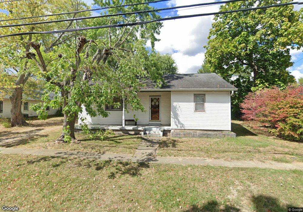
8661 Main St Pleasant Plain, OH 45162
Estimated Value: $192,000 - $249,000
2
Beds
1
Bath
1,092
Sq Ft
$194/Sq Ft
Est. Value
About This Home
This home is located at 8661 Main St, Pleasant Plain, OH 45162 and is currently estimated at $211,570, approximately $193 per square foot. 8661 Main St is a home located in Warren County with nearby schools including Little Miami Early Childhood Center, Little Miami Intermediate Middle School, and Little Miami Middle School.
Ownership History
Date
Name
Owned For
Owner Type
Purchase Details
Closed on
Apr 8, 1998
Sold by
Grooms William K
Bought by
Weis Daryl E
Current Estimated Value
Home Financials for this Owner
Home Financials are based on the most recent Mortgage that was taken out on this home.
Original Mortgage
$72,500
Outstanding Balance
$13,871
Interest Rate
7.19%
Mortgage Type
New Conventional
Estimated Equity
$197,699
Purchase Details
Closed on
May 12, 1993
Sold by
Conger Charles E and Conger Edith
Bought by
Grooms and Grooms William K
Purchase Details
Closed on
Sep 3, 1985
Sold by
Kiehl Stanley E and Kiehl Carol
Bought by
Conger and Conger Charles E
Create a Home Valuation Report for This Property
The Home Valuation Report is an in-depth analysis detailing your home's value as well as a comparison with similar homes in the area
Home Values in the Area
Average Home Value in this Area
Purchase History
| Date | Buyer | Sale Price | Title Company |
|---|---|---|---|
| Weis Daryl E | $72,500 | -- | |
| Grooms | $53,500 | -- | |
| Conger | $30,000 | -- |
Source: Public Records
Mortgage History
| Date | Status | Borrower | Loan Amount |
|---|---|---|---|
| Open | Weis Daryl E | $72,500 |
Source: Public Records
Tax History Compared to Growth
Tax History
| Year | Tax Paid | Tax Assessment Tax Assessment Total Assessment is a certain percentage of the fair market value that is determined by local assessors to be the total taxable value of land and additions on the property. | Land | Improvement |
|---|---|---|---|---|
| 2024 | $1,803 | $44,450 | $11,680 | $32,770 |
| 2023 | $1,610 | $35,878 | $6,247 | $29,631 |
| 2022 | $1,590 | $35,879 | $6,248 | $29,631 |
| 2021 | $1,507 | $35,879 | $6,248 | $29,631 |
| 2020 | $1,432 | $29,169 | $5,079 | $24,091 |
| 2019 | $1,484 | $29,169 | $5,079 | $24,091 |
| 2018 | $1,510 | $29,169 | $5,079 | $24,091 |
| 2017 | $1,350 | $25,984 | $4,592 | $21,392 |
| 2016 | $1,380 | $25,984 | $4,592 | $21,392 |
| 2015 | $1,381 | $25,984 | $4,592 | $21,392 |
| 2014 | $1,445 | $24,280 | $4,290 | $19,990 |
| 2013 | $1,419 | $28,730 | $5,080 | $23,650 |
Source: Public Records
Map
Nearby Homes
- 8776 New St
- 8441 Morrow Woodville Rd
- 9049 State Route 132
- 7771 Misty Meadows Ct
- 9075 Debold Koebel Rd
- 85ac Templin Rd
- 7474 Misty Woods Ct
- 7194 Orchard View Ln
- 10957 Creekside Dr
- 8842 Waynes Way
- 5 Lundy-Whitacre Rd
- 5199 Allens Ridge Dr
- 6888 Edwardsville Rd
- 0 Whitacre Rd Unit 1852936
- 5127 Allens Ridge Dr
- 0 Misty Meadows Ct Unit 1856181
- 8338 Gustin Rider Rd
- 5168 Allens Ridge Dr
- 3172 Sage Ct
- 0 St Rt 132 Unit 1831981
- 8671 State Route 132
- 8672 Main St
- 8672 State Route 132
- 8647 Main St
- 8646 State Route 132
- 8603 Hill St
- 8605 Hill St
- 8696 Route 132
- 8604 Hill St
- 8706 Main St
- 8724 Clark St
- 8711 Main St
- 8607 Hill St
- 8606 Hill St
- 8714 State Route 132
- 8608 Hill St
- 8723 St Rt 132
- 8723 State Route 132
- 8724 Main St
- 8731 State Route 132