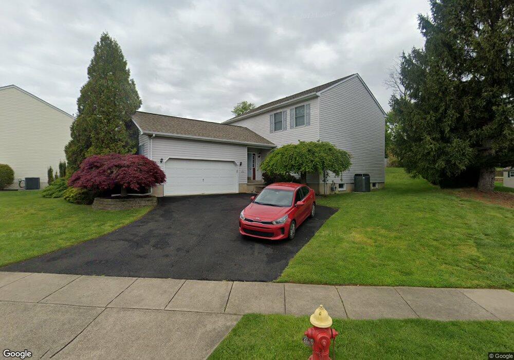
867 Duxbury Dr Langhorne, PA 19047
Estimated Value: $589,000 - $707,000
4
Beds
3
Baths
2,016
Sq Ft
$314/Sq Ft
Est. Value
About This Home
This home is located at 867 Duxbury Dr, Langhorne, PA 19047 and is currently estimated at $632,678, approximately $313 per square foot. 867 Duxbury Dr is a home located in Bucks County with nearby schools including Hoover Elementary School, Maple Point Middle School, and Neshaminy High School.
Ownership History
Date
Name
Owned For
Owner Type
Purchase Details
Closed on
May 22, 2003
Sold by
Mcfadden Kevin C and Mcfadden Suzanne E
Bought by
Warner Todd
Current Estimated Value
Home Financials for this Owner
Home Financials are based on the most recent Mortgage that was taken out on this home.
Original Mortgage
$256,000
Outstanding Balance
$111,830
Interest Rate
5.86%
Mortgage Type
Purchase Money Mortgage
Estimated Equity
$520,848
Create a Home Valuation Report for This Property
The Home Valuation Report is an in-depth analysis detailing your home's value as well as a comparison with similar homes in the area
Home Values in the Area
Average Home Value in this Area
Purchase History
| Date | Buyer | Sale Price | Title Company |
|---|---|---|---|
| Warner Todd | $320,000 | -- |
Source: Public Records
Mortgage History
| Date | Status | Borrower | Loan Amount |
|---|---|---|---|
| Open | Warner Todd | $256,000 |
Source: Public Records
Tax History Compared to Growth
Tax History
| Year | Tax Paid | Tax Assessment Tax Assessment Total Assessment is a certain percentage of the fair market value that is determined by local assessors to be the total taxable value of land and additions on the property. | Land | Improvement |
|---|---|---|---|---|
| 2025 | $7,785 | $35,760 | $4,320 | $31,440 |
| 2024 | $7,785 | $35,760 | $4,320 | $31,440 |
| 2023 | $7,662 | $35,760 | $4,320 | $31,440 |
| 2022 | $7,460 | $35,760 | $4,320 | $31,440 |
| 2021 | $7,460 | $35,760 | $4,320 | $31,440 |
| 2020 | $7,371 | $35,760 | $4,320 | $31,440 |
| 2019 | $7,206 | $35,760 | $4,320 | $31,440 |
| 2018 | $7,074 | $35,760 | $4,320 | $31,440 |
| 2017 | $6,893 | $35,760 | $4,320 | $31,440 |
| 2016 | $6,893 | $35,760 | $4,320 | $31,440 |
| 2015 | $7,083 | $35,760 | $4,320 | $31,440 |
| 2014 | $7,083 | $35,760 | $4,320 | $31,440 |
Source: Public Records
Map
Nearby Homes
- 731 Highland Ave
- 2816 Avenue E
- 2823 Avenue E
- 0 Prospect Ave
- 1516 Fairview Ave
- 790 E Parker St Unit A1
- 801 E Parker St Unit B2
- 1420 Super Hwy
- 565 Hulmeville Rd
- 1632 Winter Ave
- 710 Fox Ct
- 6351 Shewell Rd
- 1605 Old Lincoln Hwy
- 56 W Lincoln Hwy
- 409 Fairview Ave
- 3225 Ethan Allen Ct
- 449 Grand Ave
- 24 W Lincoln Hwy
- 6369 Powder Horn Ct
- 6504 Timothy Ct
- 875 Duxbury Dr
- 862 Duxbury Dr
- 855 Duxbury Dr
- 887 Duxbury Dr
- 868 Duxbury Dr
- 848 Duxbury Dr
- 876 Duxbury Dr
- 893 Duxbury Dr
- 827 Duxbury Dr
- 888 Duxbury Dr
- 824 Duxbury Dr
- 801 Duxbury Dr
- 901 Duxbury Dr
- 889 Highland Ave
- 857 Highland Ave
- 877 Highland Ave
- 802 Duxbury Dr
- 894 Duxbury Dr
- 902 Duxbury Dr
- 913 Duxbury Dr