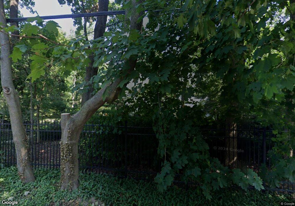
867 E MacAda Rd Bethlehem, PA 18017
Northeast Bethlehem NeighborhoodEstimated Value: $705,000 - $1,100,000
6
Beds
3
Baths
4,674
Sq Ft
$184/Sq Ft
Est. Value
About This Home
This home is located at 867 E MacAda Rd, Bethlehem, PA 18017 and is currently estimated at $858,688, approximately $183 per square foot. 867 E MacAda Rd is a home located in Northampton County with nearby schools including Spring Garden Elementary School, East Hills Middle School, and Freedom High School.
Ownership History
Date
Name
Owned For
Owner Type
Purchase Details
Closed on
Nov 1, 1980
Bought by
Cummings Clifford G and Cummings Jane L
Current Estimated Value
Create a Home Valuation Report for This Property
The Home Valuation Report is an in-depth analysis detailing your home's value as well as a comparison with similar homes in the area
Home Values in the Area
Average Home Value in this Area
Purchase History
| Date | Buyer | Sale Price | Title Company |
|---|---|---|---|
| Cummings Clifford G | $45,000 | -- |
Source: Public Records
Tax History
| Year | Tax Paid | Tax Assessment Tax Assessment Total Assessment is a certain percentage of the fair market value that is determined by local assessors to be the total taxable value of land and additions on the property. | Land | Improvement |
|---|---|---|---|---|
| 2025 | $1,866 | $172,800 | $34,200 | $138,600 |
| 2024 | $15,274 | $172,800 | $34,200 | $138,600 |
| 2023 | $15,274 | $172,800 | $34,200 | $138,600 |
| 2022 | $15,155 | $172,800 | $34,200 | $138,600 |
| 2021 | $15,053 | $172,800 | $34,200 | $138,600 |
| 2020 | $14,909 | $172,800 | $34,200 | $138,600 |
| 2019 | $14,859 | $172,800 | $34,200 | $138,600 |
| 2018 | $14,498 | $172,800 | $34,200 | $138,600 |
| 2017 | $14,325 | $172,800 | $34,200 | $138,600 |
| 2016 | -- | $172,800 | $34,200 | $138,600 |
| 2015 | -- | $172,800 | $34,200 | $138,600 |
| 2014 | -- | $172,800 | $34,200 | $138,600 |
Source: Public Records
Map
Nearby Homes
- 942 Greenhouse Dr Unit 5B
- 386 Johnston Dr
- 1713 Barrett Dr
- 1735 Greenleaf St
- 2321 Montgomery St
- 2324 Kemmerer St Unit 3
- 2524 East Blvd
- 1720 Levering Place
- 2328 Linden St
- 2860 Center St
- 2312 Lafayette Ave
- 2337 East Blvd
- 2236 Lincoln St
- 1937 Greenleaf St
- 105 Pine Top Trail
- 3631 Cottage Dr
- 2713 Center St
- 493 Forrest Ave
- 481 Forrest Ave
- 3697 Cottage Dr
- 3020 Barnsdale Rd
- 855 E MacAda Rd
- 3028 Barnsdale Rd
- 3041 Altonah Rd
- 3040 Barnsdale Rd
- 860 E MacAda Rd
- 805 Barnsdale Rd
- 902 E MacAda Rd
- 3050 Barnsdale Rd
- 3025 Barnsdale Rd
- 3059 Altonah Rd
- 815 Barnsdale Rd
- 765 E MacAda Rd
- 3058 Barnsdale Rd
- 939 E MacAda Rd
- 928 E MacAda Rd
- 825 Barnsdale Rd
- 769 Apollo Dr
- 758 Apollo Dr
- 934 E MacAda Rd
Your Personal Tour Guide
Ask me questions while you tour the home.
