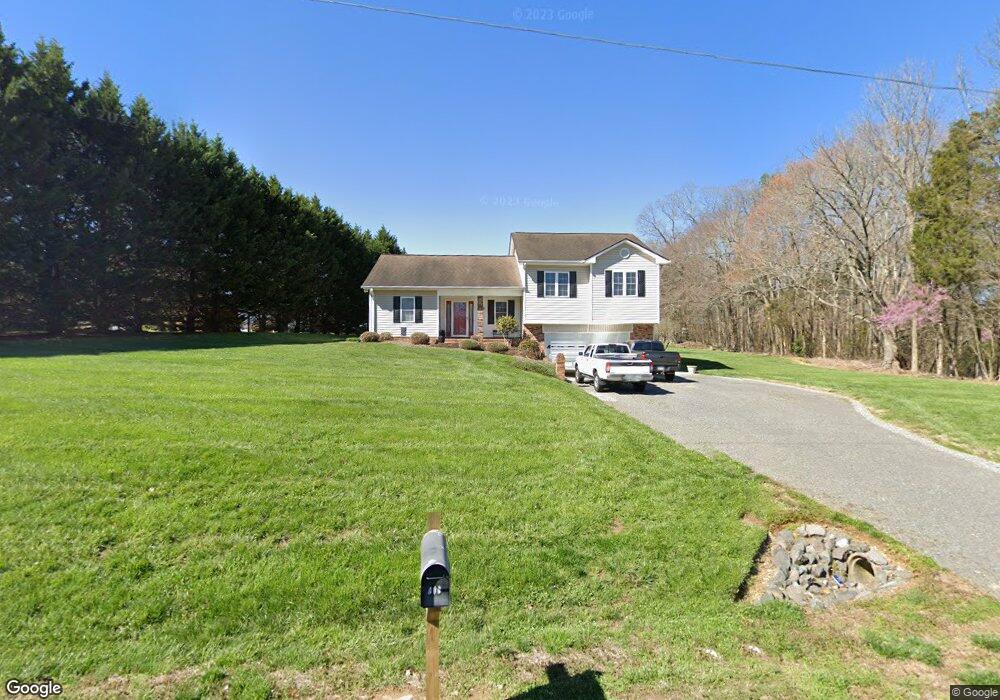
867 Howell Rd Mocksville, NC 27028
Estimated Value: $320,197 - $475,000
3
Beds
3
Baths
2,226
Sq Ft
$162/Sq Ft
Est. Value
About This Home
This home is located at 867 Howell Rd, Mocksville, NC 27028 and is currently estimated at $361,549, approximately $162 per square foot. 867 Howell Rd is a home located in Davie County with nearby schools including William R. Davie Elementary School, North Davie Middle School, and Davie County High School.
Ownership History
Date
Name
Owned For
Owner Type
Purchase Details
Closed on
Dec 12, 2007
Sold by
Dunn Timothy C
Bought by
Latham Heath L and Latham Stacey R
Current Estimated Value
Home Financials for this Owner
Home Financials are based on the most recent Mortgage that was taken out on this home.
Original Mortgage
$124,000
Outstanding Balance
$78,162
Interest Rate
6.22%
Mortgage Type
New Conventional
Estimated Equity
$283,387
Purchase Details
Closed on
Jul 1, 2004
Purchase Details
Closed on
Oct 1, 2000
Purchase Details
Closed on
Sep 1, 1993
Create a Home Valuation Report for This Property
The Home Valuation Report is an in-depth analysis detailing your home's value as well as a comparison with similar homes in the area
Home Values in the Area
Average Home Value in this Area
Purchase History
| Date | Buyer | Sale Price | Title Company |
|---|---|---|---|
| Latham Heath L | $155,000 | None Available | |
| -- | -- | -- | |
| -- | $92,000 | -- | |
| -- | -- | -- |
Source: Public Records
Mortgage History
| Date | Status | Borrower | Loan Amount |
|---|---|---|---|
| Open | Latham Heath L | $124,000 |
Source: Public Records
Tax History Compared to Growth
Tax History
| Year | Tax Paid | Tax Assessment Tax Assessment Total Assessment is a certain percentage of the fair market value that is determined by local assessors to be the total taxable value of land and additions on the property. | Land | Improvement |
|---|---|---|---|---|
| 2025 | $1,591 | $231,050 | $20,330 | $210,720 |
| 2024 | $1,163 | $150,510 | $17,020 | $133,490 |
| 2023 | $1,163 | $150,510 | $17,020 | $133,490 |
| 2022 | $1,163 | $150,510 | $17,020 | $133,490 |
| 2021 | $1,163 | $150,510 | $17,020 | $133,490 |
| 2020 | $1,104 | $141,900 | $17,020 | $124,880 |
| 2019 | $1,104 | $141,900 | $17,020 | $124,880 |
| 2018 | $1,104 | $141,900 | $17,020 | $124,880 |
| 2017 | $1,090 | $141,900 | $0 | $0 |
| 2016 | $1,105 | $143,840 | $0 | $0 |
| 2015 | $1,105 | $143,840 | $0 | $0 |
| 2014 | $949 | $143,840 | $0 | $0 |
| 2013 | -- | $143,840 | $0 | $0 |
Source: Public Records
Map
Nearby Homes
- 200 Bramblewood Ln
- 112 Courtney Rd
- 228 Meadowlark Ln
- 4799 Us Highway 601 N
- 155 Cotton Ln
- Knollwood Plan at Providence Place
- Southmont Plan at Providence Place
- Aster Plan at Providence Place
- Ledford Plan at Providence Place
- Abbott Plan at Providence Place
- Cotton Grove Plan at Providence Place
- 5173 Us Highway 601 N
- 1920 Gough Stewart Rd
- 3245 Ray T Moore Rd
- 5304 U S Highway 601 N
- 2643 Nc Highway 801 N
- 000 Courtney Huntsville Rd
- 2845 Courtney Huntsville Rd
- 2845 Courtney-Huntsville Rd
- 2808 Turners Creek Rd