867 John Howard Rd Shiloh, GA 31826
Estimated Value: $203,000 - $298,000
2
Beds
2
Baths
1,876
Sq Ft
$139/Sq Ft
Est. Value
About This Home
This home is located at 867 John Howard Rd, Shiloh, GA 31826 and is currently estimated at $260,953, approximately $139 per square foot. 867 John Howard Rd is a home located in Talbot County with nearby schools including Central School.
Ownership History
Date
Name
Owned For
Owner Type
Purchase Details
Closed on
May 30, 2018
Sold by
Mccain Ray C
Bought by
Vickery Stewart R
Current Estimated Value
Home Financials for this Owner
Home Financials are based on the most recent Mortgage that was taken out on this home.
Original Mortgage
$154,151
Outstanding Balance
$133,673
Interest Rate
4.62%
Mortgage Type
FHA
Estimated Equity
$127,280
Purchase Details
Closed on
Oct 29, 2002
Bought by
Mccain Ray C and Mccain Dorothy M
Purchase Details
Closed on
Jan 1, 1992
Bought by
King
Create a Home Valuation Report for This Property
The Home Valuation Report is an in-depth analysis detailing your home's value as well as a comparison with similar homes in the area
Home Values in the Area
Average Home Value in this Area
Purchase History
| Date | Buyer | Sale Price | Title Company |
|---|---|---|---|
| Vickery Stewart R | $157,000 | -- | |
| Mccain Ray C | -- | -- | |
| King | $2,300 | -- |
Source: Public Records
Mortgage History
| Date | Status | Borrower | Loan Amount |
|---|---|---|---|
| Open | Vickery Stewart R | $154,151 |
Source: Public Records
Tax History Compared to Growth
Tax History
| Year | Tax Paid | Tax Assessment Tax Assessment Total Assessment is a certain percentage of the fair market value that is determined by local assessors to be the total taxable value of land and additions on the property. | Land | Improvement |
|---|---|---|---|---|
| 2024 | $1,590 | $51,768 | $6,692 | $45,076 |
| 2023 | $1,555 | $51,263 | $6,497 | $44,766 |
| 2022 | $1,589 | $51,599 | $6,497 | $45,102 |
| 2021 | $1,447 | $51,126 | $5,650 | $45,476 |
| 2020 | $1,506 | $52,415 | $5,650 | $46,765 |
| 2019 | $1,615 | $54,985 | $5,650 | $49,335 |
| 2018 | $1,656 | $54,985 | $5,650 | $49,335 |
| 2017 | $1,598 | $55,617 | $5,650 | $49,967 |
| 2016 | $963 | $34,338 | $5,650 | $28,688 |
| 2015 | -- | $37,163 | $8,475 | $28,688 |
| 2013 | -- | $28,617 | $5,417 | $23,200 |
Source: Public Records
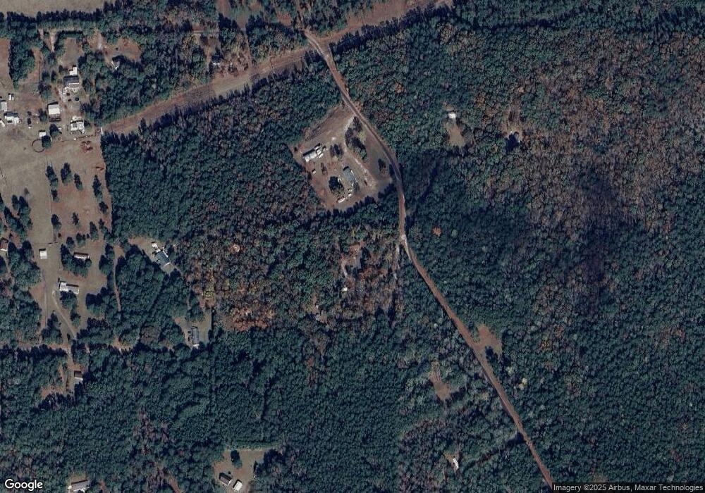
Map
Nearby Homes
- BLK 79 LOT 07 Pansy Loop
- 0 Aster Ct Block 2 Unit 10540208
- 00Lot3 & Lot 4 Mountain Ridge Dr
- 1974 Old Shiloh Rd
- 6 Juniper Way
- Lot 16 Honeysuckle Cir
- 2819 Chestnut Grove Rd
- BLK 29 LOT 31 Heather Cir
- 0 Heather Cir Unit 216114
- BLOCK 21 LOT 01 Juniper Trail
- BLK 27 LOT 22 Honeysuckle Cir
- BLK 14 LOT 05 Quince Ct
- 2450 Chestnut Grove Rd Unit 3
- 2450 Chestnut Grove Rd Unit 2
- 2450 Chestnut Grove Rd
- 0 Ingram Rd
- 0 S Porter Rd Unit 7609203
- 0 S Porter Rd Unit 10545447
- 5920 Kings Gap Rd
- 170 Crabapple Loop
- 0 John Howard Rd Unit 7279810
- 0 John Howard Rd Unit 7024540
- 0 John Howard Rd Unit 8467102
- 0 John Howard Rd Unit 8315130
- 0 John Howard Rd Unit 7308107
- 0 John Howard Rd Unit 7136130
- 0 John Howard Rd
- 871 John Howard Rd
- 1021 John Howard Rd
- 854 John Howard Rd
- 341 Turkey Roost Ln
- 515 John Howard Rd
- 415 Chapman Rd
- 1139 John Howard Rd
- 439 John Howard Rd
- 500 John Howard Rd
- 264 Turkey Roost Ln
- 265 Turkey Roost Ln
- 375 John Howard Rd
- 1279 John Howard Rd