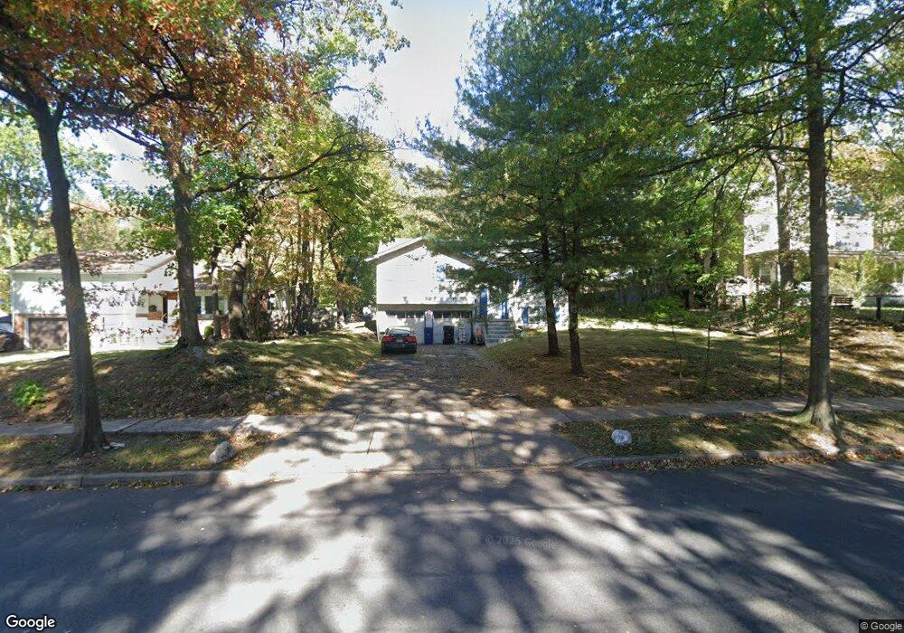
867 Leland Ave Unit 71 Plainfield, NJ 07062
Estimated Value: $458,000 - $555,000
Studio
--
Bath
1,580
Sq Ft
$328/Sq Ft
Est. Value
About This Home
This home is located at 867 Leland Ave Unit 71, Plainfield, NJ 07062 and is currently estimated at $518,937, approximately $328 per square foot. 867 Leland Ave Unit 71 is a home located in Union County with nearby schools including Frederic W. Cook School, Emerson Community School, and Maxson Middle School.
Ownership History
Date
Name
Owned For
Owner Type
Purchase Details
Closed on
Apr 27, 2020
Sold by
Taba Akuvi and Fraser Margaret A
Bought by
Wanzer Michelle L
Current Estimated Value
Home Financials for this Owner
Home Financials are based on the most recent Mortgage that was taken out on this home.
Original Mortgage
$222,397
Interest Rate
2.9%
Mortgage Type
FHA
Purchase Details
Closed on
Jan 6, 2011
Sold by
Mcelwee Kenneth
Bought by
Fraser Margaret A and Taba Akuvi
Home Financials for this Owner
Home Financials are based on the most recent Mortgage that was taken out on this home.
Original Mortgage
$233,916
Interest Rate
4.83%
Mortgage Type
FHA
Create a Home Valuation Report for This Property
The Home Valuation Report is an in-depth analysis detailing your home's value as well as a comparison with similar homes in the area
Home Values in the Area
Average Home Value in this Area
Purchase History
| Date | Buyer | Sale Price | Title Company |
|---|---|---|---|
| Wanzer Michelle L | $235,000 | Equity Settlement Svcs Inc | |
| Fraser Margaret A | $240,000 | Fidelity Natl Title Ins Co |
Source: Public Records
Mortgage History
| Date | Status | Borrower | Loan Amount |
|---|---|---|---|
| Previous Owner | Wanzer Michelle L | $222,397 | |
| Previous Owner | Fraser Margaret A | $233,916 |
Source: Public Records
Tax History
| Year | Tax Paid | Tax Assessment Tax Assessment Total Assessment is a certain percentage of the fair market value that is determined by local assessors to be the total taxable value of land and additions on the property. | Land | Improvement |
|---|---|---|---|---|
| 2025 | $11,352 | $130,000 | $76,700 | $53,300 |
| 2024 | $11,240 | $130,000 | $76,700 | $53,300 |
| 2023 | $11,240 | $130,000 | $76,700 | $53,300 |
| 2022 | $10,997 | $130,000 | $76,700 | $53,300 |
| 2021 | $10,901 | $130,000 | $76,700 | $53,300 |
| 2020 | $10,869 | $130,000 | $76,700 | $53,300 |
| 2019 | $10,869 | $130,000 | $76,700 | $53,300 |
| 2018 | $10,642 | $130,000 | $76,700 | $53,300 |
| 2017 | $10,382 | $130,000 | $76,700 | $53,300 |
| 2016 | $10,170 | $130,000 | $76,700 | $53,300 |
| 2015 | $9,870 | $130,000 | $76,700 | $53,300 |
| 2014 | $9,602 | $130,000 | $76,700 | $53,300 |
Source: Public Records
Map
Nearby Homes
- 848 Adam Cir
- 917 Fernwood Ave Unit 23
- 835 Dixie Ln Unit 37
- 837 Coolidge St Unit 39
- 930 Cushing Place Unit 32
- 904 Sterling St
- 807 Berkeley Ave Unit 9
- 1224 Sunnyfield Ln
- 771 Ravine Rd
- 767 Ravine Rd Unit 73
- 1231 Sunnyfield Ln
- 633 Woodland Ave Unit 37
- 1464 Jean Terrace Unit 68
- 834 Central St Unit 36
- 603 Terrill Rd
- 519 Terrill Rd
- 481 Terrill Rd
- 1107-11 North Ave
- 1107 North Ave Unit 11
- 724 Central St
- 861 Leland Ave Unit 65
- 873 Leland Ave Unit 79
- 879 Leland Ave
- 857 Leland Ave Unit 59
- 881 Leland Ave Unit 85
- 868 Leland Ave Unit 72
- 864 Leland Ave Unit 66
- 874 Leland Ave Unit 78
- 901 Leland Ave Unit 5
- 856 Leland Ave Unit 62
- 1213 Oxford Ave Unit 17
- 1219 Oxford Ave Unit 21
- 1165 Dorsey Place Unit 67
- 900 Leland Ave Unit 4
- 1223 Oxford Ave Unit 25
- 848 Leland Ave Unit 50
- 1176 Loraine Ave Unit 78
- 906 Leland Ave Unit 8
- 1161 Dorsey Place Unit 63
- 1163 Dorsey Place
Your Personal Tour Guide
Ask me questions while you tour the home.