Estimated Value: $550,022 - $679,000
5
Beds
4
Baths
3,444
Sq Ft
$176/Sq Ft
Est. Value
About This Home
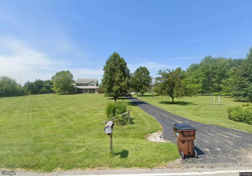
This home is located at 867 Long Rd, Xenia, OH 45385 and is currently estimated at $605,756, approximately $175 per square foot. 867 Long Rd is a home located in Greene County with nearby schools including Xenia High School.
Ownership History
Date
Name
Owned For
Owner Type
Purchase Details
Closed on
Jun 15, 2015
Sold by
Hall Cory S and Hall Thomas T
Bought by
Marshall Chad M and Marshall Ashley E
Current Estimated Value
Home Financials for this Owner
Home Financials are based on the most recent Mortgage that was taken out on this home.
Original Mortgage
$264,510
Outstanding Balance
$205,381
Interest Rate
3.82%
Mortgage Type
Purchase Money Mortgage
Estimated Equity
$400,375
Purchase Details
Closed on
Sep 13, 2002
Sold by
Mcintosh Arthur S and Mcintosh Lisa R
Bought by
Hall John S and Hall Regina M
Home Financials for this Owner
Home Financials are based on the most recent Mortgage that was taken out on this home.
Original Mortgage
$198,000
Interest Rate
8.87%
Purchase Details
Closed on
Dec 30, 1994
Sold by
Smith Robert M
Bought by
Mcintosh Arthur S and Mcintosh R
Create a Home Valuation Report for This Property
The Home Valuation Report is an in-depth analysis detailing your home's value as well as a comparison with similar homes in the area
Purchase History
| Date | Buyer | Sale Price | Title Company |
|---|---|---|---|
| Marshall Chad M | $293,900 | Attorney | |
| Hall John S | $225,000 | -- | |
| Mcintosh Arthur S | $32,500 | -- |
Source: Public Records
Mortgage History
| Date | Status | Borrower | Loan Amount |
|---|---|---|---|
| Open | Marshall Chad M | $264,510 | |
| Previous Owner | Hall John S | $198,000 |
Source: Public Records
Tax History
| Year | Tax Paid | Tax Assessment Tax Assessment Total Assessment is a certain percentage of the fair market value that is determined by local assessors to be the total taxable value of land and additions on the property. | Land | Improvement |
|---|---|---|---|---|
| 2024 | $7,398 | $156,860 | $23,250 | $133,610 |
| 2023 | $7,333 | $156,860 | $23,250 | $133,610 |
| 2022 | $6,238 | $112,920 | $21,470 | $91,450 |
| 2021 | $6,313 | $112,920 | $21,470 | $91,450 |
| 2020 | $5,848 | $112,920 | $21,470 | $91,450 |
| 2019 | $5,693 | $103,390 | $18,890 | $84,500 |
| 2018 | $5,713 | $103,390 | $18,890 | $84,500 |
| 2017 | $5,502 | $103,390 | $18,890 | $84,500 |
| 2016 | $5,503 | $98,040 | $16,730 | $81,310 |
| 2015 | $5,492 | $98,040 | $16,730 | $81,310 |
| 2014 | $5,150 | $98,040 | $16,730 | $81,310 |
Source: Public Records
Map
Nearby Homes
- 01 Jasper Rd
- 3647 N Lakeshore Dr
- 815 Oneida Trail
- 414 S Monroe Siding Rd
- 2676 Waynesville Jamestown Rd
- 4005 Cheyenne Trail
- 4119 Beach Trail
- 4184 Shawnee Trail
- 4208 Shawnee Trail
- 4270 Shawnee Trail
- 4533 Navajo Trail
- 0 U S 68
- 43 Hidden Creek Dr
- 1293 E Main St
- 48 W Xenia St
- 832 E 3rd St
- 0 N Patton St
- 00 N Patton St
- 30 W Xenia St
- 643 Brickel Rd
- 869 Long Rd
- 865 Long Rd
- 881 Long Rd
- 827 Long Rd
- 777 Long Rd
- 909 Long Rd
- 970 Long Rd
- 982 Long Rd
- 737 Long Rd
- 796 Long Rd
- 990 Long Rd
- 965 Long Rd
- 0 Long Rd Unit 394809
- 0 Long Rd Unit 445581
- 0 Long Rd Unit 455324
- 0 Long Rd Unit 457752
- 0 Long Rd Unit 465397
- 0 Long Rd Unit 474487
- 0 Long Rd Unit 483061
- 60 Long Rd
Your Personal Tour Guide
Ask me questions while you tour the home.