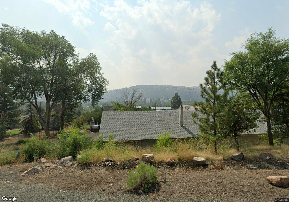
867 NW Boulder Ln John Day, OR 97845
Estimated Value: $342,000 - $429,000
--
Bed
--
Bath
1,311
Sq Ft
$303/Sq Ft
Est. Value
About This Home
This home is located at 867 NW Boulder Ln, John Day, OR 97845 and is currently estimated at $397,607, approximately $303 per square foot. 867 NW Boulder Ln is a home with nearby schools including Grant Union Junior/Senior High School.
Ownership History
Date
Name
Owned For
Owner Type
Purchase Details
Closed on
May 12, 2020
Sold by
Madden Joseph M
Bought by
Madden Lindsey M
Current Estimated Value
Home Financials for this Owner
Home Financials are based on the most recent Mortgage that was taken out on this home.
Original Mortgage
$242,250
Outstanding Balance
$215,467
Interest Rate
3.5%
Mortgage Type
New Conventional
Estimated Equity
$182,140
Purchase Details
Closed on
Sep 8, 2015
Sold by
Madden Lindsey and Duncan Lindsey
Bought by
Madden Joseph M and Madden Lindsey M
Purchase Details
Closed on
Sep 3, 2013
Sold by
Oregon Department Of Forestry
Bought by
Duncan David and Duncan Lindsey
Home Financials for this Owner
Home Financials are based on the most recent Mortgage that was taken out on this home.
Original Mortgage
$127,645
Interest Rate
4.27%
Mortgage Type
FHA
Create a Home Valuation Report for This Property
The Home Valuation Report is an in-depth analysis detailing your home's value as well as a comparison with similar homes in the area
Home Values in the Area
Average Home Value in this Area
Purchase History
| Date | Buyer | Sale Price | Title Company |
|---|---|---|---|
| Madden Lindsey M | -- | None Available | |
| Madden Joseph M | -- | None Available | |
| Duncan David | $130,000 | None Available |
Source: Public Records
Mortgage History
| Date | Status | Borrower | Loan Amount |
|---|---|---|---|
| Open | Madden Lindsey M | $242,250 | |
| Closed | Duncan David | $127,645 |
Source: Public Records
Tax History Compared to Growth
Tax History
| Year | Tax Paid | Tax Assessment Tax Assessment Total Assessment is a certain percentage of the fair market value that is determined by local assessors to be the total taxable value of land and additions on the property. | Land | Improvement |
|---|---|---|---|---|
| 2024 | $3,048 | $201,684 | $32,906 | $168,778 |
| 2023 | $2,961 | $195,810 | $31,952 | $163,858 |
| 2022 | $2,877 | $190,107 | $31,020 | $159,087 |
| 2021 | $2,816 | $184,570 | $28,408 | $156,162 |
| 2020 | $2,030 | $123,245 | $27,580 | $95,665 |
| 2019 | $1,966 | $119,656 | $31,939 | $87,717 |
| 2018 | $3,031 | $116,171 | $31,009 | $85,162 |
| 2017 | $1,869 | $112,788 | $30,103 | $82,685 |
| 2016 | $1,816 | $109,503 | $32,971 | $76,532 |
| 2015 | $2,494 | $154,610 | $42,030 | $112,580 |
| 2014 | $2,494 | $154,610 | $42,030 | $112,580 |
| 2013 | -- | $0 | $0 | $0 |
Source: Public Records
Map
Nearby Homes
- 434 NW Charolais Heights
- 0 W Seventh St
- 219 Valley View Dr
- 212 NW 5th Ave
- 111 Valley View Dr
- 213 NW 4th Ave
- 410 NW Bridge St
- 314 NW 3rd Ave
- 227 Valley View Dr
- 229 Valley View Dr
- 227 NW 2nd Ave
- 0 NE 7th St
- 212 NW Bridge St
- 312 N Canyon Blvd
- 310 N Canyon Blvd
- 250 NE Dayton St
- 173 N Canyon Blvd
- 128 SW Canton St
- 250 E Main St
- 400 NW 9th Ave
- 870 NW Boulder Ln
- 864 NW Bridge St
- 894 NW Boulder Ln
- 878 NW Boulder Ln
- 861 NW Bridge St
- 859 NW Boulder Ln
- 500 NW Charolais Heights
- 467 NW Charolais Heigh
- 860 NW Boulder Ln
- 108 NE Charolais Heights
- 112 NE Charolais Heights
- 106 NE Charolais Heights
- 108 NE Charolais Heights
- 467 NW Charolais Heights
- 468 NW Charolais Heights
- 859 NW Bridge St
- 0 NW Charolais Heights
- 469 NW Charolais Heights
- 555 NW Charolais Heights