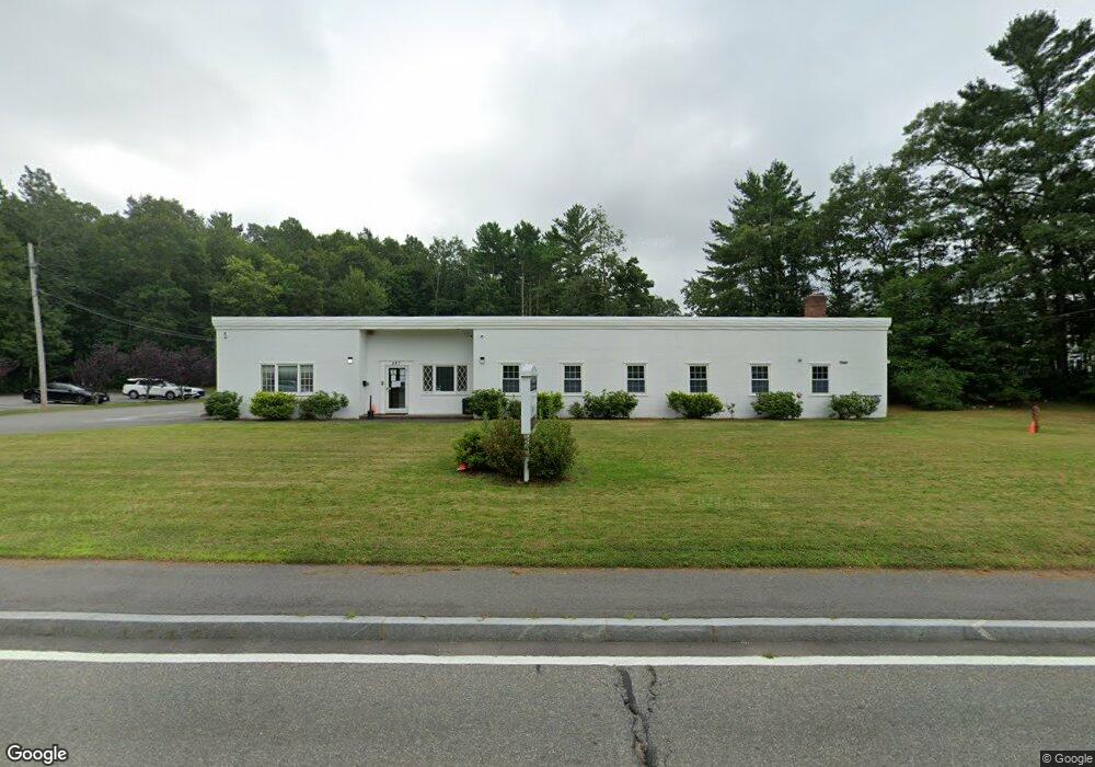
867 State Rd Dartmouth, MA 02747
Smith Mills NeighborhoodEstimated Value: $1,838,167
--
Bed
2
Baths
12,000
Sq Ft
$153/Sq Ft
Est. Value
About This Home
This home is located at 867 State Rd, Dartmouth, MA 02747 and is currently estimated at $1,838,167, approximately $153 per square foot. 867 State Rd is a home located in Bristol County with nearby schools including Dartmouth High School, Nazarene Christian Academy, and Bishop Stang High School.
Ownership History
Date
Name
Owned For
Owner Type
Purchase Details
Closed on
Oct 17, 2013
Sold by
Kwon Yung D
Bought by
Panagakos Michael
Current Estimated Value
Purchase Details
Closed on
Jul 12, 2007
Sold by
Cloth Ne Amalgamated
Bought by
Kwon Yung D
Home Financials for this Owner
Home Financials are based on the most recent Mortgage that was taken out on this home.
Original Mortgage
$760,000
Interest Rate
6.48%
Mortgage Type
Commercial
Create a Home Valuation Report for This Property
The Home Valuation Report is an in-depth analysis detailing your home's value as well as a comparison with similar homes in the area
Home Values in the Area
Average Home Value in this Area
Purchase History
| Date | Buyer | Sale Price | Title Company |
|---|---|---|---|
| Panagakos Michael | $445,000 | -- | |
| Kwon Yung D | $950,000 | -- |
Source: Public Records
Mortgage History
| Date | Status | Borrower | Loan Amount |
|---|---|---|---|
| Previous Owner | Kwon Yung D | $760,000 |
Source: Public Records
Tax History Compared to Growth
Tax History
| Year | Tax Paid | Tax Assessment Tax Assessment Total Assessment is a certain percentage of the fair market value that is determined by local assessors to be the total taxable value of land and additions on the property. | Land | Improvement |
|---|---|---|---|---|
| 2025 | $16,247 | $882,500 | $516,800 | $365,700 |
| 2024 | $15,490 | $831,000 | $465,300 | $365,700 |
| 2023 | $15,477 | $801,100 | $430,400 | $370,700 |
| 2022 | $14,962 | $780,100 | $409,400 | $370,700 |
| 2021 | $13,907 | $715,000 | $390,700 | $324,300 |
| 2020 | $13,851 | $744,700 | $397,300 | $347,400 |
| 2019 | $13,719 | $764,700 | $394,000 | $370,700 |
| 2018 | $4,561 | $779,600 | $385,700 | $393,900 |
| 2017 | $14,033 | $807,400 | $390,300 | $417,100 |
| 2016 | $13,508 | $816,700 | $376,300 | $440,400 |
| 2015 | $13,886 | $843,100 | $379,600 | $463,500 |
| 2014 | $13,530 | $830,600 | $343,800 | $486,800 |
Source: Public Records
Map
Nearby Homes
- 461 Reed Rd
- 3 Roller Coaster Way Unit Lot 1
- 29 Union Ave
- 96 Forge Rd
- 735 Reed Rd
- 56 Lakeside Ave
- 55 Lakeside Ave
- 818 Reed Rd
- 27 Dias Ave
- 16 S Berryman St
- 320 Old Westport Rd
- 15 S Breault St
- 312 Old Westport Rd
- 310 Old Westport Rd
- 53 Morton Ave
- 565 Highland Ave
- 65 Cross Rd
- 0 Van Buren St
- 9 Kyle Jacob Rd
- Lot 6 Rafael Rd
- 899 State Rd
- 1 Candy Apple Dr
- 868 State Rd
- 26 Carousel Terrace
- 24 Carousel Terrace
- 22 Carousel Terrace Unit Lot 45
- 22 Carousel Terrace
- 20 Carousel Terrace Unit lot 46
- 30 Cotton Candy Ln
- 19 Carousel Terrace Unit Lot 42
- 29 Cotton Candy Ln
- 29 Cotton Candy Ln
- 22 Ferris Wheel Ln
- 26 Cotton Candy Ln
- 17 Carousel Terrace
- 450 Reed Rd
- 842 State Rd
- 16 Carousel Terrace Unit Lot 47
- 11 Midway Park Dr Unit 1
- 8 Ferris Wheel Ln Unit Lot 22