8670 Hansel Rd New Concord, OH 43762
Estimated Value: $302,000 - $428,866
3
Beds
2
Baths
1,248
Sq Ft
$294/Sq Ft
Est. Value
About This Home
This home is located at 8670 Hansel Rd, New Concord, OH 43762 and is currently estimated at $366,622, approximately $293 per square foot. 8670 Hansel Rd is a home located in Muskingum County with nearby schools including New Concord Elementary School, East Muskingum Middle School, and Larry Miller Intermediate Elementary School.
Ownership History
Date
Name
Owned For
Owner Type
Purchase Details
Closed on
Mar 31, 2025
Sold by
Morrow Family Trust and Morrow Robert H
Bought by
Morrow Randal W and Beach Crystal
Current Estimated Value
Purchase Details
Closed on
Aug 11, 2022
Sold by
Morrow Robert H and Morrow Ramona H
Bought by
Morrow Family Trust
Create a Home Valuation Report for This Property
The Home Valuation Report is an in-depth analysis detailing your home's value as well as a comparison with similar homes in the area
Home Values in the Area
Average Home Value in this Area
Purchase History
| Date | Buyer | Sale Price | Title Company |
|---|---|---|---|
| Morrow Randal W | -- | None Listed On Document | |
| Morrow Randal W | -- | None Listed On Document | |
| Morrow Family Trust | -- | Bonham William T | |
| Morrow Family Trust | -- | Bonham William T |
Source: Public Records
Tax History Compared to Growth
Tax History
| Year | Tax Paid | Tax Assessment Tax Assessment Total Assessment is a certain percentage of the fair market value that is determined by local assessors to be the total taxable value of land and additions on the property. | Land | Improvement |
|---|---|---|---|---|
| 2024 | $3,344 | $101,360 | $15,190 | $86,170 |
| 2023 | $2,679 | $76,020 | $11,585 | $64,435 |
| 2022 | $2,622 | $76,020 | $11,585 | $64,435 |
| 2021 | $2,590 | $76,020 | $11,585 | $64,435 |
| 2020 | $2,321 | $66,150 | $10,080 | $56,070 |
| 2019 | $2,309 | $66,150 | $10,080 | $56,070 |
| 2018 | $2,100 | $66,150 | $10,080 | $56,070 |
| 2017 | $1,792 | $48,685 | $7,945 | $40,740 |
| 2016 | $1,795 | $48,690 | $7,950 | $40,740 |
| 2015 | $1,840 | $48,690 | $7,950 | $40,740 |
| 2013 | $1,687 | $41,760 | $7,950 | $33,810 |
Source: Public Records
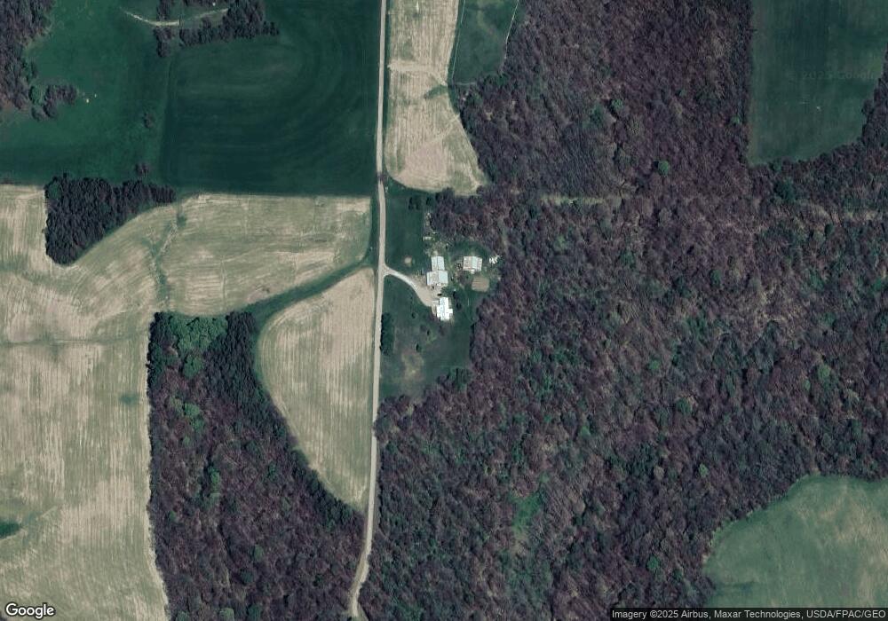
Map
Nearby Homes
- 5580 Friendship Dr
- 2250 Indian Camp Run Rd
- 6825 Barr Rd
- 0 Norfield Unit 5124761
- 64895 Lovers Lane Rd
- 68477 Geese Rd
- 67655 Geese Rd
- 0 Geese Rd
- 3688 Indian Camp Run Rd
- 12985 John Glenn School Rd
- 2895 N Moose Eye Rd
- 0 Haught Rd Unit LOTWP001 24504411
- 0 Haught Rd
- 1165 Friendship Dr
- 53 Paden Rd
- 930 Friendship Dr
- 760 Friendship Dr
- 154 Montgomery Blvd
- 7255 Mitchell Ln
- 8850 Hansel Rd
- 8980 Hansel Rd
- 12830 Lookout Rd
- 8005 Hansel Rd
- 12360 Lookout Rd
- 12800 Lookout Rd
- 8175 Friendship Dr
- 8750 Dickson Rd
- 12870 Lookout Rd
- 11870 Lookout Rd
- 8180 Friendship Dr
- 12780 Lookout Rd
- 12095 Lookout Rd
- 8405 Friendship Dr
- 9400 Wharton Ln
- 8615 Dickson Rd
- 8205 Windy Ridge Rd
- 13000 Lookout Rd
- 8995 Friendship Dr
- 8215 Dickson Rd