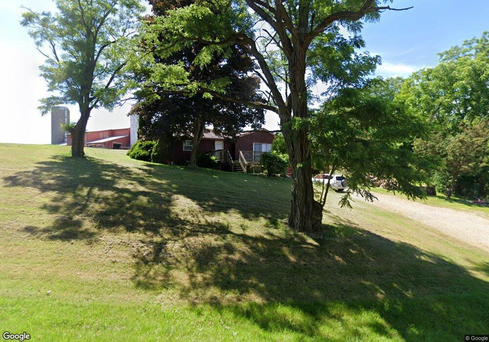
8670 Rick Rd Mc Kean, PA 16426
Estimated Value: $258,000 - $343,000
3
Beds
2
Baths
1,724
Sq Ft
$174/Sq Ft
Est. Value
About This Home
This home is located at 8670 Rick Rd, Mc Kean, PA 16426 and is currently estimated at $300,059, approximately $174 per square foot. 8670 Rick Rd is a home located in Erie County with nearby schools including McKean Elementary School, James W. Parker Middle School, and General McLane High School.
Ownership History
Date
Name
Owned For
Owner Type
Purchase Details
Closed on
Jan 30, 2014
Sold by
Lupher Vance L
Bought by
Township Of Mckean
Current Estimated Value
Purchase Details
Closed on
Jan 21, 2004
Sold by
Rule Melissa L
Bought by
Lupher Vance L
Home Financials for this Owner
Home Financials are based on the most recent Mortgage that was taken out on this home.
Original Mortgage
$93,700
Interest Rate
5.89%
Mortgage Type
Stand Alone Second
Purchase Details
Closed on
Jul 22, 2003
Sold by
Banister Jack G and Banister Rose Marie
Bought by
Rule Melissa L
Create a Home Valuation Report for This Property
The Home Valuation Report is an in-depth analysis detailing your home's value as well as a comparison with similar homes in the area
Home Values in the Area
Average Home Value in this Area
Purchase History
| Date | Buyer | Sale Price | Title Company |
|---|---|---|---|
| Township Of Mckean | -- | None Available | |
| Lupher Vance L | $126,000 | -- | |
| Rule Melissa L | $120,000 | -- |
Source: Public Records
Mortgage History
| Date | Status | Borrower | Loan Amount |
|---|---|---|---|
| Previous Owner | Lupher Vance L | $93,700 | |
| Closed | Lupher Vance L | $41,000 |
Source: Public Records
Tax History Compared to Growth
Tax History
| Year | Tax Paid | Tax Assessment Tax Assessment Total Assessment is a certain percentage of the fair market value that is determined by local assessors to be the total taxable value of land and additions on the property. | Land | Improvement |
|---|---|---|---|---|
| 2025 | $3,644 | $160,020 | $42,800 | $117,220 |
| 2024 | $3,528 | $160,020 | $42,800 | $117,220 |
| 2023 | $3,320 | $160,020 | $42,800 | $117,220 |
| 2022 | $3,224 | $160,020 | $42,800 | $117,220 |
| 2021 | $3,183 | $160,020 | $42,800 | $117,220 |
| 2020 | $3,143 | $160,020 | $42,800 | $117,220 |
| 2019 | $3,122 | $160,020 | $42,800 | $117,220 |
| 2018 | $3,055 | $160,020 | $42,800 | $117,220 |
| 2017 | $3,055 | $160,020 | $42,800 | $117,220 |
| 2016 | $3,768 | $160,020 | $42,800 | $117,220 |
| 2015 | $3,728 | $160,020 | $42,800 | $117,220 |
| 2014 | $1,730 | $160,020 | $42,800 | $117,220 |
Source: Public Records
Map
Nearby Homes
- 8580 Rick Rd
- 127 Timberlake Dr
- 702 Skyline Dr
- 6870 Sterrettania Rd
- 6419 Sterrettania Rd
- 5115 West Rd
- 11897 Silverthorn (Tr 86 Rt T438) Rd
- 0 Edinboro Rd Unit 183772
- 0 Edinboro Rd Unit 182375
- 0 Edinboro Rd Unit 173270
- 4817 Greenlee Rd
- 5233 California Rd
- 7221 Sterrettania Rd
- 9735 Old Route 99
- 7761 Grubb Rd
- 4241 Dunn Valley Rd
- 29 Sharon Dr
- 6135 Inverness Terrace
- 6021 Pine Valley Ln
- 5413 W 54th St