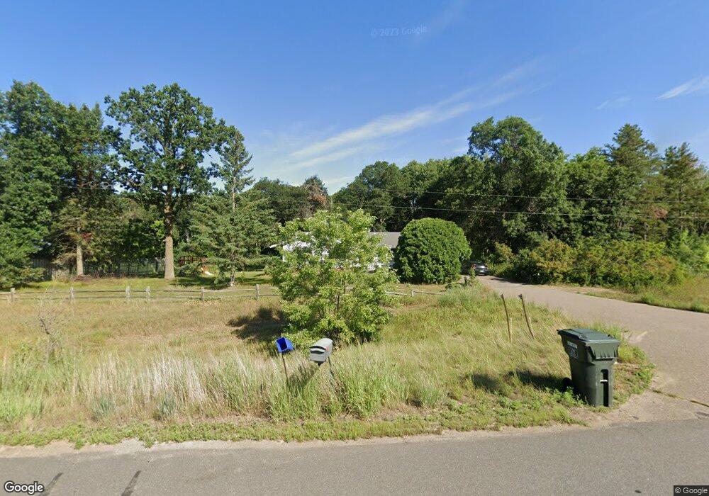
8673 State Highway 371 Brainerd, MN 56401
Estimated Value: $254,000 - $359,000
About This Home
This home is located at 8673 State Highway 371, Brainerd, MN 56401 and is currently estimated at $294,169, approximately $215 per square foot. 8673 State Highway 371 is a home located in Crow Wing County with nearby schools including Riverside Elementary School, Forestview Middle School, and Brainerd Senior High School.
Ownership History
We collect this data history from publicly available records. To have your information removed, we recommend requesting removal directly through your county’s website.
Purchase Details
Home Financials for this Owner
Home Financials are based on the most recent Mortgage that was taken out on this home.Purchase Details
Home Values in the Area
Average Home Value in this Area
Purchase History
We collect this data history from publicly available records. To have your information removed, we recommend requesting removal directly through your county’s website.
| Date | Buyer | Sale Price | Title Company |
|---|---|---|---|
| $90,000 | -- | ||
| $59,900 | -- |
Mortgage History
We collect this data history from publicly available records. To have your information removed, we recommend requesting removal directly through your county’s website.
| Date | Status | Borrower | Loan Amount |
|---|---|---|---|
| Open | $90,000 |
Tax History
We collect this data history from publicly available records. To have your information removed, we recommend requesting removal directly through your county’s website.
| Year | Tax Paid | Tax Assessment Tax Assessment Total Assessment is a certain percentage of the fair market value that is determined by local assessors to be the total taxable value of land and additions on the property. | Land | Improvement |
|---|---|---|---|---|
| 2025 | $1,362 | $199,600 | $67,600 | $132,000 |
| 2024 | $1,314 | $185,500 | $58,900 | $126,600 |
| 2023 | $1,208 | $164,900 | $53,000 | $111,900 |
| 2022 | $1,180 | $158,400 | $39,100 | $119,300 |
| 2021 | $1,238 | $124,500 | $31,800 | $92,700 |
| 2020 | $1,186 | $123,700 | $31,200 | $92,500 |
| 2019 | $1,180 | $114,400 | $30,200 | $84,200 |
| 2018 | $1,100 | $111,900 | $30,200 | $81,700 |
| 2017 | $842 | $107,900 | $29,700 | $78,200 |
| 2016 | $828 | $83,100 | $23,900 | $59,200 |
| 2015 | $748 | $71,400 | $22,000 | $49,400 |
| 2014 | $328 | $66,400 | $20,700 | $45,700 |
Map
- TBD State Highway 371
- 8624 LOT 25 50th Ave
- 8624 LOT 27 50th Ave
- 8624 LOT 22 50th Ave
- 8624 LOT 24 50th Ave
- 8624 LOT 23 50th Ave
- 8624 LOT 21 50th Ave
- 8624 LOT 26 50th Ave
- 8624 50th Ave
- 5457 Erin Rd
- Lot 6 Block 1 40th Ave SW
- TBD Dr
- 9188 Estate Cir
- 6207 Brandon Way
- XXX Timber Ridge Dr
- Tbd Little Bass Lake Rd
- 6876 Wels Ave
- 9865 70th Ave
- 10115 Depot St
- 7066 Wels Ave
- 8653 State Highway 371
- 8633 State Highway 371
- 8721 State Highway 371
- 8770 State Highway 371
- 5243 Sweet Rd
- 5157 Sweet Rd
- 8577 State Highway 371
- 8750 50th Ave
- 8785 State Highway 371
- 8600 State Highway 371
- TBD Sweet Rd
- 8774 State Highway 371
- 8919 Sophies Way
- 8914 Sophies Way
- 8776 State Highway 371
- 8923 Sophies Way
- 8386 50th Ave
- 8926 Sophies Way
- 50th 50th Ave
- 0 Lot 3 50th-Avenue- Unit 4370838
Ask me questions while you tour the home.