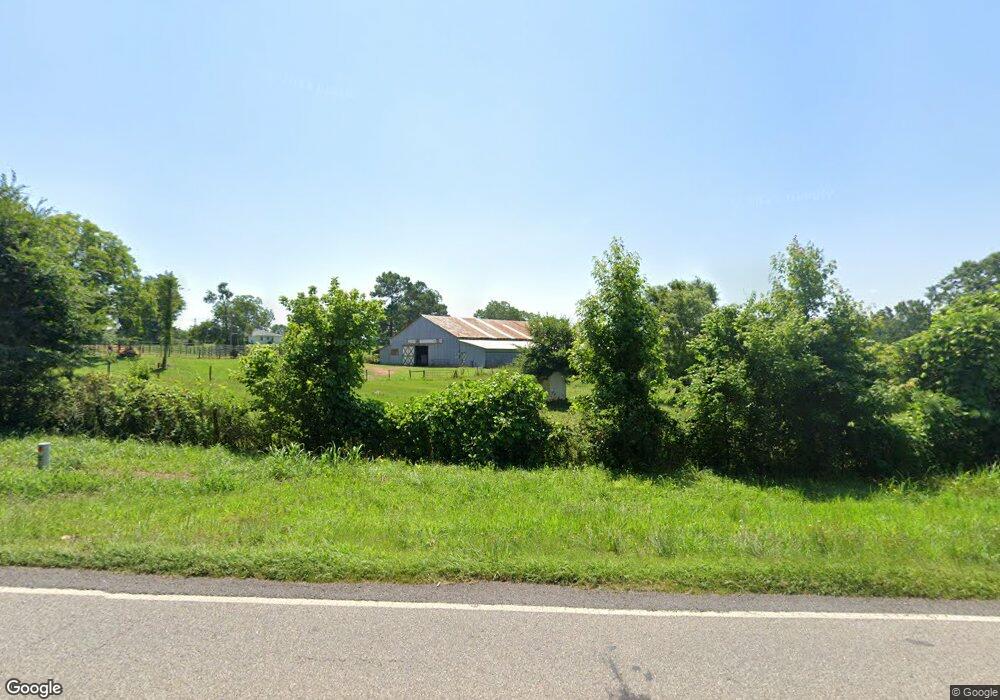
8679 Highway 334 Nicholson, GA 30565
Estimated Value: $346,000 - $850,000
--
Bed
3
Baths
1,974
Sq Ft
$263/Sq Ft
Est. Value
About This Home
This home is located at 8679 Highway 334, Nicholson, GA 30565 and is currently estimated at $520,095, approximately $263 per square foot. 8679 Highway 334 is a home located in Jackson County with nearby schools including East Jackson Middle School and East Jackson Comprehensive High School.
Ownership History
Date
Name
Owned For
Owner Type
Purchase Details
Closed on
Oct 25, 2023
Sold by
Brock Billie H
Bought by
Brock Family Trust and Wesley Brock J
Current Estimated Value
Purchase Details
Closed on
Dec 15, 2004
Sold by
Brock Billy H
Bought by
Brock James Wesley and Brock Michelle Dawn
Purchase Details
Closed on
Dec 14, 2004
Sold by
Buchanan John C
Bought by
Brock Billie H
Purchase Details
Closed on
Dec 4, 2002
Sold by
Herman Henry R
Bought by
Buchanan John C
Create a Home Valuation Report for This Property
The Home Valuation Report is an in-depth analysis detailing your home's value as well as a comparison with similar homes in the area
Home Values in the Area
Average Home Value in this Area
Purchase History
| Date | Buyer | Sale Price | Title Company |
|---|---|---|---|
| Brock Family Trust | -- | -- | |
| Brock James Wesley | -- | -- | |
| Coffey Matilda B | $50,320 | -- | |
| Brock James Wesley | $50,365 | -- | |
| Brock Billie H | $350,000 | -- | |
| Brock Billie H | $350,000 | -- | |
| Buchanan John C | $240,000 | -- |
Source: Public Records
Tax History Compared to Growth
Tax History
| Year | Tax Paid | Tax Assessment Tax Assessment Total Assessment is a certain percentage of the fair market value that is determined by local assessors to be the total taxable value of land and additions on the property. | Land | Improvement |
|---|---|---|---|---|
| 2024 | $1,163 | $130,700 | $73,760 | $56,940 |
| 2023 | $1,163 | $123,460 | $73,760 | $49,700 |
| 2022 | $493 | $64,300 | $25,080 | $39,220 |
| 2021 | $477 | $64,052 | $25,080 | $38,972 |
| 2020 | $422 | $57,172 | $25,080 | $32,092 |
| 2019 | $427 | $57,172 | $25,080 | $32,092 |
| 2018 | $415 | $55,812 | $25,080 | $30,732 |
| 2017 | $370 | $49,743 | $21,335 | $28,408 |
| 2016 | $373 | $49,743 | $21,335 | $28,408 |
| 2015 | $1,102 | $66,521 | $38,113 | $28,408 |
| 2014 | $1,050 | $65,678 | $38,113 | $27,565 |
| 2013 | -- | $65,678 | $38,112 | $27,565 |
Source: Public Records
Map
Nearby Homes
- 10 Red Rose Rd
- 322 Cedar Tree Ln
- 2345 Seagraves Mill Rd
- 1771 Leon Ellis Rd
- 7 Red Rose Rd
- 9 Red Rose Rd
- 1718 Ed Bennett Rd
- 719 Old Athens Dr
- 310 Sawdust Rd
- 140 Levi Trail
- 130 Levi Trail
- 520 Old Athens Dr
- 0 US Hwy 441 S Unit 20890220
- 24 Quail Ridge Dr
- 97 Abby Ln
- 573 Sanford Dr
- 0 Nowhere Ln Unit 10544151
- 8541 Georgia 334
- 5044 U S 441
- 4419 New Kings Bridge Rd
- 2537 Cooper Farm Rd
- 8680 Highway 334
- 8816 Highway 334
- 77 Short Cut Rd
- 8610 Georgia 334
- 8852 Highway 334
- 2264 Cooper Farm Rd
- 8986 Highway 334
- 8525 Highway 334
- 2681 Cooper Farm Rd
- 2162 Cooper Farm Rd
- 8492 Highway 334
- 9048 Highway 334
- 2702 Cooper Farm Rd
- 2197 Cooper Farm Rd
- 521 Barnett Rd
- 9082 Highway 334
- L 233 Thirteen Hundred
- 2088 Cooper Farm Rd
- 182 Duncan Dr