8679 W Bent Tree Dr Peoria, AZ 85383
Estimated Value: $913,291 - $1,202,000
4
Beds
3
Baths
3,153
Sq Ft
$334/Sq Ft
Est. Value
About This Home
This home is located at 8679 W Bent Tree Dr, Peoria, AZ 85383 and is currently estimated at $1,052,323, approximately $333 per square foot. 8679 W Bent Tree Dr is a home located in Maricopa County with nearby schools including West Wing Elementary School, Mountain Ridge High School, and BASIS Peoria Primary.
Ownership History
Date
Name
Owned For
Owner Type
Purchase Details
Closed on
Aug 13, 2025
Sold by
Musser Daniel J and Musser Stephanie L
Bought by
Musser Majcher Family Trust and Musser
Current Estimated Value
Purchase Details
Closed on
Sep 29, 2010
Sold by
Donahue Daniel D and Donahue Michelle L
Bought by
Musser Stephanie L and Musser Daniel J
Home Financials for this Owner
Home Financials are based on the most recent Mortgage that was taken out on this home.
Original Mortgage
$308,000
Interest Rate
4.33%
Mortgage Type
FHA
Purchase Details
Closed on
Jan 26, 2006
Sold by
Camelot Homes Inc
Bought by
Donahue Daniel D and Donahue Michelle L
Home Financials for this Owner
Home Financials are based on the most recent Mortgage that was taken out on this home.
Original Mortgage
$633,000
Interest Rate
5.87%
Mortgage Type
New Conventional
Create a Home Valuation Report for This Property
The Home Valuation Report is an in-depth analysis detailing your home's value as well as a comparison with similar homes in the area
Home Values in the Area
Average Home Value in this Area
Purchase History
| Date | Buyer | Sale Price | Title Company |
|---|---|---|---|
| Musser Majcher Family Trust | -- | None Listed On Document | |
| Musser Stephanie L | $385,000 | Lawyers Title Of Arizona Inc | |
| Donahue Daniel D | $791,363 | Lawyers Title Ins Corp | |
| Camelot Homes Inc | -- | Lawyers Title Ins Corp | |
| Mark Hancock Development Corp | -- | Lawyers Title Ins Corp |
Source: Public Records
Mortgage History
| Date | Status | Borrower | Loan Amount |
|---|---|---|---|
| Previous Owner | Musser Stephanie L | $308,000 | |
| Previous Owner | Donahue Daniel D | $633,000 | |
| Closed | Donahue Daniel D | $118,000 |
Source: Public Records
Tax History Compared to Growth
Tax History
| Year | Tax Paid | Tax Assessment Tax Assessment Total Assessment is a certain percentage of the fair market value that is determined by local assessors to be the total taxable value of land and additions on the property. | Land | Improvement |
|---|---|---|---|---|
| 2025 | $4,767 | $56,404 | -- | -- |
| 2024 | $4,682 | $53,718 | -- | -- |
| 2023 | $4,682 | $71,760 | $14,350 | $57,410 |
| 2022 | $4,503 | $55,150 | $11,030 | $44,120 |
| 2021 | $4,660 | $51,320 | $10,260 | $41,060 |
| 2020 | $4,574 | $48,480 | $9,690 | $38,790 |
| 2019 | $4,430 | $46,370 | $9,270 | $37,100 |
| 2018 | $4,272 | $45,220 | $9,040 | $36,180 |
| 2017 | $4,111 | $43,050 | $8,610 | $34,440 |
| 2016 | $3,865 | $42,920 | $8,580 | $34,340 |
| 2015 | $3,508 | $42,210 | $8,440 | $33,770 |
Source: Public Records
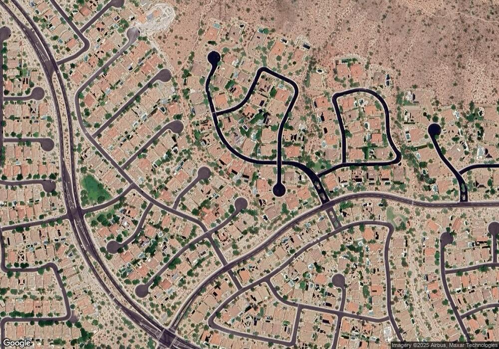
Map
Nearby Homes
- 27486 N 89th Dr
- 27490 N Higuera Dr
- 8687 W Bajada Rd
- 26924 N 89th Dr
- 9012 W Yellow Bird Ln
- 9058 W Redbird Rd
- 9165 W Mine Trail
- 9185 W Mine Trail
- 9010 W Eagle Talon Dr
- 9156 W Bajada Rd
- 27344 N 91st Ln
- 26853 N 89th Dr
- 28286 N 89th Dr Unit 35
- 9161 W Bajada Rd
- 9238 W Buckhorn Trail
- 28136 N 90th Ln
- 27562 N 83rd Glen
- 28001 N 92nd Ave
- 8374 W Rosewood Ln
- 26802 N 90th Ave Unit 14
- 8683 W Bent Tree Dr
- 27498 N 86th Ln
- 27466 N 86th Ln
- 8602 W Buckhorn Trail
- 8687 W Bent Tree Dr
- 27502 N 86th Ln
- 27434 N 86th Ln
- 8678 W Bent Tree Dr
- 27393 N 88th Ln
- 8622 W Buckhorn Trail
- 8691 W Bent Tree Dr
- 8688 W Bent Tree Dr
- 27550 N 86th Ln
- 27489 N 86th Ln
- 8607 W Buckhorn Trail
- 27402 N 86th Ln
- 27383 N 88th Ln
- 8642 W Buckhorn Trail
- 27503 N 86th Ln
- 8627 W Buckhorn Trail