868 Wellman Ave North Chelmsford, MA 01863
Estimated Value: $460,000 - $480,000
2
Beds
2
Baths
1,208
Sq Ft
$391/Sq Ft
Est. Value
About This Home
This home is located at 868 Wellman Ave, North Chelmsford, MA 01863 and is currently estimated at $472,824, approximately $391 per square foot. 868 Wellman Ave is a home located in Middlesex County with nearby schools including Charles D. Harrington Elementary School, Parker Middle School, and Chelmsford High School.
Ownership History
Date
Name
Owned For
Owner Type
Purchase Details
Closed on
Jun 20, 2017
Sold by
Margaret A Mckenna T
Bought by
Horan Gail F and Whittaker Karen J
Current Estimated Value
Purchase Details
Closed on
Jun 20, 1994
Sold by
Tbg Dev Corp
Bought by
Mckenna Margaret A
Home Financials for this Owner
Home Financials are based on the most recent Mortgage that was taken out on this home.
Original Mortgage
$45,000
Interest Rate
8.5%
Mortgage Type
Purchase Money Mortgage
Create a Home Valuation Report for This Property
The Home Valuation Report is an in-depth analysis detailing your home's value as well as a comparison with similar homes in the area
Home Values in the Area
Average Home Value in this Area
Purchase History
| Date | Buyer | Sale Price | Title Company |
|---|---|---|---|
| Horan Gail F | -- | -- | |
| Mckenna Margaret A | $106,800 | -- |
Source: Public Records
Mortgage History
| Date | Status | Borrower | Loan Amount |
|---|---|---|---|
| Previous Owner | Mckenna Margaret A | $45,000 | |
| Previous Owner | Mckenna Margaret A | $45,000 |
Source: Public Records
Tax History Compared to Growth
Tax History
| Year | Tax Paid | Tax Assessment Tax Assessment Total Assessment is a certain percentage of the fair market value that is determined by local assessors to be the total taxable value of land and additions on the property. | Land | Improvement |
|---|---|---|---|---|
| 2025 | $6,113 | $439,800 | $0 | $439,800 |
| 2024 | $5,445 | $399,800 | $0 | $399,800 |
| 2023 | $5,524 | $384,400 | $0 | $384,400 |
| 2022 | $4,696 | $297,800 | $0 | $297,800 |
| 2021 | $4,442 | $282,200 | $0 | $282,200 |
| 2020 | $4,715 | $286,600 | $0 | $286,600 |
| 2019 | $4,357 | $266,500 | $0 | $266,500 |
| 2018 | $4,233 | $235,700 | $0 | $235,700 |
| 2017 | $3,980 | $222,100 | $0 | $222,100 |
| 2016 | $3,608 | $200,100 | $0 | $200,100 |
| 2015 | $3,667 | $196,100 | $0 | $196,100 |
| 2014 | $3,646 | $192,100 | $0 | $192,100 |
Source: Public Records
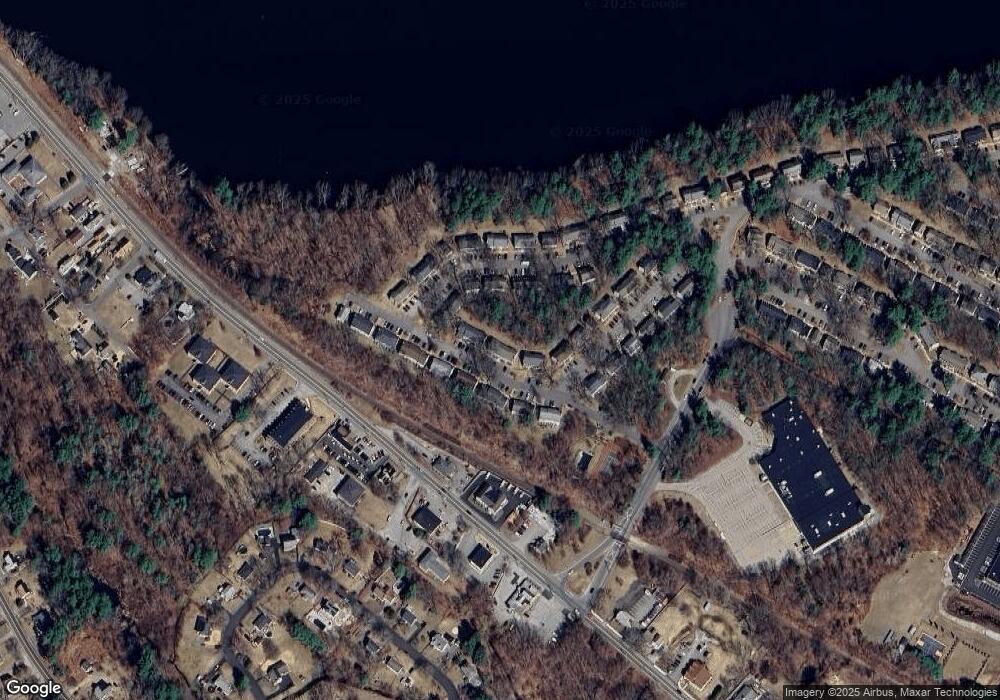
Map
Nearby Homes
- 915 Wellman Ave Unit 915
- 1 Hope St
- 413 Wellman Ave Unit 413
- 5 Mission Rd Unit 203
- 10 Butterfield St
- 271 Wellman Ave
- 202 Wellman Ave
- 739 Wellman Ave
- 406 Wellman Ave
- 348 Wellman Ave
- 139 Wellman Ave Unit 139
- 48 Mission Rd
- 33 Kennedy Dr Unit 33
- 1401 Pawtucket Blvd Unit 10
- 1461 Pawtucket Blvd Unit 12
- 15 Dowling Dr
- 16 Washington St
- 1335 Varnum Ave
- 71 Princeton St Unit 303
- 38 Scotty Hollow Dr Unit E
- 869 Wellman Ave
- 867 Wellman Ave
- 866 Wellman Ave
- 866 Wellman Ave Unit 866
- 869 Wellman Ave Unit 869
- 866 Wellman Ave Unit 866
- 865 Wellman Ave
- 864 Wellman Ave
- 863 Wellman Ave
- 865 Wellman Ave Unit 482
- 863 Wellman Ave
- 863 Wellman Ave Unit 863
- 865 Wellman Ave
- 865 Wellman Ave Unit 865
- 873 Wellman Ave
- 872 Wellman Ave
- 871 Wellman Ave
- 870 Wellman Ave
- 871 Wellman Ave Unit 871
- 118 Wellman Ave