8682 W Kings Way Kunkletown, PA 18058
Estimated Value: $242,000 - $266,000
3
Beds
2
Baths
1,248
Sq Ft
$202/Sq Ft
Est. Value
About This Home
This home is located at 8682 W Kings Way, Kunkletown, PA 18058 and is currently estimated at $251,882, approximately $201 per square foot. 8682 W Kings Way is a home located in Monroe County with nearby schools including Pleasant Valley Elementary School, Pleasant Valley Intermediate School, and Pleasant Valley Middle School.
Ownership History
Date
Name
Owned For
Owner Type
Purchase Details
Closed on
Dec 5, 2007
Sold by
Mcdonald Paul K and Mcdonald Francesann
Bought by
Frederick William M and Frederick Sandra K
Current Estimated Value
Home Financials for this Owner
Home Financials are based on the most recent Mortgage that was taken out on this home.
Original Mortgage
$93,000
Outstanding Balance
$17,139
Interest Rate
6.3%
Mortgage Type
New Conventional
Estimated Equity
$234,743
Create a Home Valuation Report for This Property
The Home Valuation Report is an in-depth analysis detailing your home's value as well as a comparison with similar homes in the area
Home Values in the Area
Average Home Value in this Area
Purchase History
| Date | Buyer | Sale Price | Title Company |
|---|---|---|---|
| Frederick William M | $163,000 | Keystone Land Abstract North |
Source: Public Records
Mortgage History
| Date | Status | Borrower | Loan Amount |
|---|---|---|---|
| Open | Frederick William M | $93,000 |
Source: Public Records
Tax History Compared to Growth
Tax History
| Year | Tax Paid | Tax Assessment Tax Assessment Total Assessment is a certain percentage of the fair market value that is determined by local assessors to be the total taxable value of land and additions on the property. | Land | Improvement |
|---|---|---|---|---|
| 2025 | $697 | $107,810 | $19,520 | $88,290 |
| 2024 | $496 | $107,810 | $19,520 | $88,290 |
| 2023 | $3,071 | $107,810 | $19,520 | $88,290 |
| 2022 | $2,982 | $107,810 | $19,520 | $88,290 |
| 2021 | $2,914 | $107,810 | $19,520 | $88,290 |
| 2020 | $2,471 | $107,810 | $19,520 | $88,290 |
| 2019 | $3,240 | $18,480 | $1,250 | $17,230 |
| 2018 | $3,203 | $18,480 | $1,250 | $17,230 |
| 2017 | $3,203 | $18,480 | $1,250 | $17,230 |
| 2016 | $472 | $18,480 | $1,250 | $17,230 |
| 2015 | -- | $18,480 | $1,250 | $17,230 |
| 2014 | -- | $18,480 | $1,250 | $17,230 |
Source: Public Records
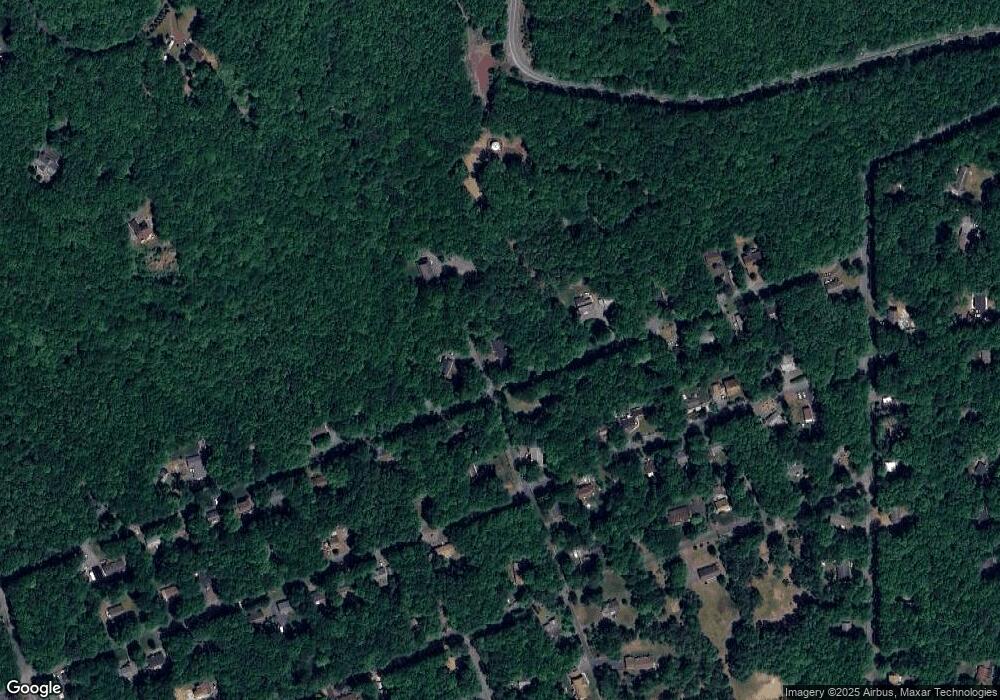
Map
Nearby Homes
- 8749 W Kings Way
- 4689 Buck Ln
- R12 Robinhood Dr
- 9153 Robinhood Dr
- 131 Stone Ridge Rd
- 8743 Sherwood Dr
- 125 Stone Ridge Rd
- Lot K15 Lincoln Green Dr K15
- 500 Sumac Ct
- W14 Greenwood Dr
- 9064 Robinhood Dr
- 0 Mv2514 Pawnee Trail
- 2546 Pawnee Trail
- 2490 Pawnee Trail
- 1619 Sugar Ln
- 113 Acorn Ln
- 9081 Sherwood Dr
- 2461 E Cherokee Trail
- 20 Patten Cir
- 134 Poplar Ln
- 8714 Kings Way
- 8665 W Kings Way
- 0 Kings Way
- 36 Kings Way
- 182 Kings Way
- 1 & 2 Kings Way
- 8715 W Kings Way
- 4948 Buck Ln
- 8650 W Kings Way
- 8672 Robinhood Dr
- 8672 Buck Ln
- 8672 Buck Ln
- 4831 Buck Ln
- 8640 Robinhood Dr Unit B15
- 8647 W Kings Way
- 8760 Kings Way
- 8636 Robinhood Dr
- 8710 Robinhood Dr
- 8638 W Kings Way
- 8673 Robinhood Dr