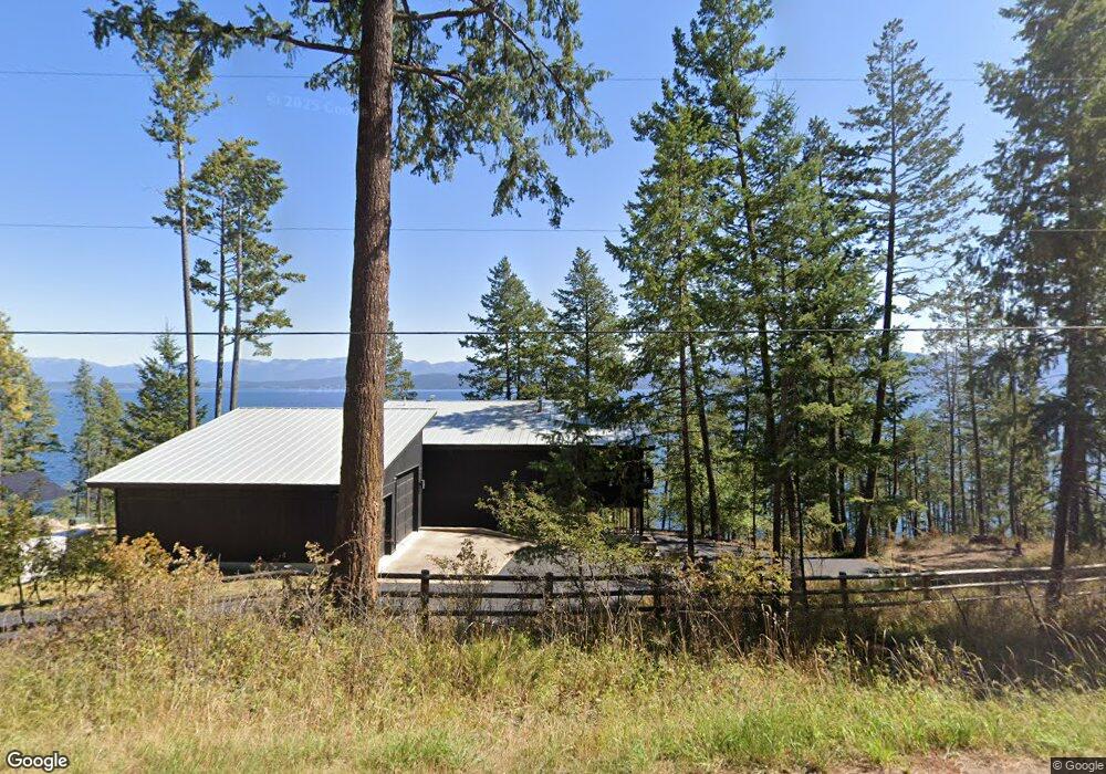
869 Angel Point Rd Lakeside, MT 59922
Estimated Value: $1,122,000 - $1,693,000
1
Bed
1
Bath
890
Sq Ft
$1,571/Sq Ft
Est. Value
About This Home
This home is located at 869 Angel Point Rd, Lakeside, MT 59922 and is currently estimated at $1,398,004, approximately $1,570 per square foot. 869 Angel Point Rd is a home located in Flathead County with nearby schools including Lakeside Elementary School, Somers Middle School, and Flathead High School.
Ownership History
Date
Name
Owned For
Owner Type
Purchase Details
Closed on
Sep 18, 2019
Sold by
Canfield Anne C
Bought by
Negri Mario M and Negri Richard
Current Estimated Value
Purchase Details
Closed on
Jul 12, 2007
Sold by
Christiansen Gary R and Christiansen Constance C
Bought by
Canfield Anne C
Home Financials for this Owner
Home Financials are based on the most recent Mortgage that was taken out on this home.
Original Mortgage
$861,040
Interest Rate
6.41%
Mortgage Type
New Conventional
Create a Home Valuation Report for This Property
The Home Valuation Report is an in-depth analysis detailing your home's value as well as a comparison with similar homes in the area
Home Values in the Area
Average Home Value in this Area
Purchase History
| Date | Buyer | Sale Price | Title Company |
|---|---|---|---|
| Negri Mario M | -- | First American Title Company | |
| Canfield Anne C | -- | None Available |
Source: Public Records
Mortgage History
| Date | Status | Borrower | Loan Amount |
|---|---|---|---|
| Previous Owner | Canfield Anne C | $861,040 |
Source: Public Records
Tax History
| Year | Tax Paid | Tax Assessment Tax Assessment Total Assessment is a certain percentage of the fair market value that is determined by local assessors to be the total taxable value of land and additions on the property. | Land | Improvement |
|---|---|---|---|---|
| 2025 | $4,919 | $1,239,200 | $0 | $0 |
| 2024 | $5,479 | $1,003,480 | $0 | $0 |
| 2023 | $5,567 | $1,003,480 | $0 | $0 |
| 2022 | $4,505 | $620,800 | $0 | $0 |
| 2021 | $4,884 | $620,800 | $0 | $0 |
| 2020 | $5,011 | $611,080 | $0 | $0 |
| 2019 | $4,807 | $608,490 | $0 | $0 |
| 2018 | $5,092 | $615,890 | $0 | $0 |
| 2017 | $4,697 | $615,890 | $0 | $0 |
| 2016 | $4,204 | $576,400 | $0 | $0 |
| 2015 | $4,355 | $576,400 | $0 | $0 |
| 2014 | $6,094 | $512,086 | $0 | $0 |
Source: Public Records
Map
Nearby Homes
- 953 Angel Point Rd
- 207 Angel Point Preserve
- 268 Tamarack Terrace Rd
- 272 Tamarack Terrace Rd
- 66 Angel Point Rd
- 100 Deep Bay
- 100 & 104 Deep Bay Dr
- 27 Bayview Dr
- 458 Political Hill Rd
- 480 Political Hill Rd
- 360 Ridge Line Dr
- 100 Political Hill Rd
- 351 Ridge Line Dr
- 103 Tamarack Woods Dr
- 240 Blacktail Rd
- 18082 & 18090 Demersville Wagon Rd
- 143 Parkview Ln
- 149 Monet Rd
- 150 Adams St Unit 4
- 207 Stoner Loop Unit A
- 869 Angel Point Rd
- 861 Angel Point Rd
- 861 Angel Point Rd
- 871 Angel Point Rd
- 861 & 869 Angel Point Rd
- 885 Angel Point Rd
- 28 Hockaday Ln
- 885 Angel Point Rd Lakeside Flathead
- 853 Angel Point Rd
- 105 Greenwood Hills Ln
- 115 Greenwood Hills Ln
- 837 Angel Point Rd
- 921 Angel Point Rd
- 829 Angel Point Rd
- 125 Greenwood Hills Ln
- 135 Greenwood Hills Ln
- 813 Angel Point Rd
- 953 and 921 Angel Point Rd
- 953 & 921 Angel Point Rd
Your Personal Tour Guide
Ask me questions while you tour the home.