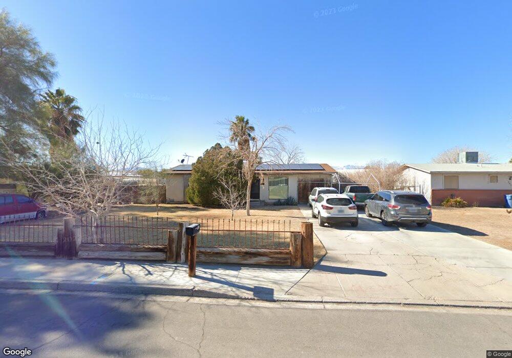
869 Apache Ln Las Vegas, NV 89110
Estimated Value: $365,829 - $492,000
4
Beds
2
Baths
1,337
Sq Ft
$326/Sq Ft
Est. Value
About This Home
This home is located at 869 Apache Ln, Las Vegas, NV 89110 and is currently estimated at $435,957, approximately $326 per square foot. 869 Apache Ln is a home located in Clark County with nearby schools including Stanford Elementary School, Duane D. Keller Middle School, and Eldorado High School.
Ownership History
Date
Name
Owned For
Owner Type
Purchase Details
Closed on
Jun 25, 2003
Sold by
Phelps Aletha and Phelps James Preston
Bought by
Phelps Aletha and Phelps James Preston
Current Estimated Value
Home Financials for this Owner
Home Financials are based on the most recent Mortgage that was taken out on this home.
Original Mortgage
$60,000
Interest Rate
5.37%
Mortgage Type
Unknown
Purchase Details
Closed on
May 25, 1998
Sold by
Phelps James Preston and Phelps Aletha
Bought by
Phelps James Preston and Phelps Aletha
Home Financials for this Owner
Home Financials are based on the most recent Mortgage that was taken out on this home.
Original Mortgage
$88,000
Interest Rate
8.25%
Create a Home Valuation Report for This Property
The Home Valuation Report is an in-depth analysis detailing your home's value as well as a comparison with similar homes in the area
Home Values in the Area
Average Home Value in this Area
Purchase History
| Date | Buyer | Sale Price | Title Company |
|---|---|---|---|
| Phelps Aletha | -- | Equity Title Of Nevada | |
| Phelps James Preston | -- | Fidelity National Title |
Source: Public Records
Mortgage History
| Date | Status | Borrower | Loan Amount |
|---|---|---|---|
| Closed | Phelps Aletha | $60,000 | |
| Closed | Phelps James Preston | $88,000 |
Source: Public Records
Tax History
| Year | Tax Paid | Tax Assessment Tax Assessment Total Assessment is a certain percentage of the fair market value that is determined by local assessors to be the total taxable value of land and additions on the property. | Land | Improvement |
|---|---|---|---|---|
| 2026 | $893 | $64,608 | $45,500 | $19,108 |
| 2025 | $867 | $61,034 | $42,000 | $19,034 |
| 2024 | $842 | $61,034 | $42,000 | $19,034 |
| 2023 | $842 | $62,664 | $45,500 | $17,164 |
| 2022 | $818 | $54,762 | $38,500 | $16,262 |
| 2021 | $794 | $47,465 | $31,500 | $15,965 |
| 2020 | $768 | $46,072 | $29,750 | $16,322 |
| 2019 | $746 | $41,094 | $24,500 | $16,594 |
| 2018 | $724 | $39,089 | $22,750 | $16,339 |
| 2017 | $1,061 | $36,185 | $19,250 | $16,935 |
| 2016 | $687 | $30,780 | $12,950 | $17,830 |
| 2015 | $684 | $26,718 | $8,750 | $17,968 |
| 2014 | $664 | $25,194 | $7,000 | $18,194 |
Source: Public Records
Map
Nearby Homes
- 0 Washington Unit 2360795
- 980 N Christy Ln
- 5294 Walnut Ave
- 5529 Cedar Ave
- 1145 Red Iron Way
- 5612 Super Bowl Dr
- 506 Wheaties Way
- 5600 Grossmont Ave
- 940 N Sloan Ln Unit 201M
- 5681 Coaldale Place
- 360 N Sir Richard Dr
- 1082 Palmerston St
- 5832 Sutcliffe Cir
- 5540 Rabbit Springs Rd
- 332 Sir Jeffery Cir
- 330 N Sir Richard Dr
- 321 Bergin Dr
- 4932 E Washington Ave
- 1219 Prairie View Dr
- 372 Linn Ln
Your Personal Tour Guide
Ask me questions while you tour the home.