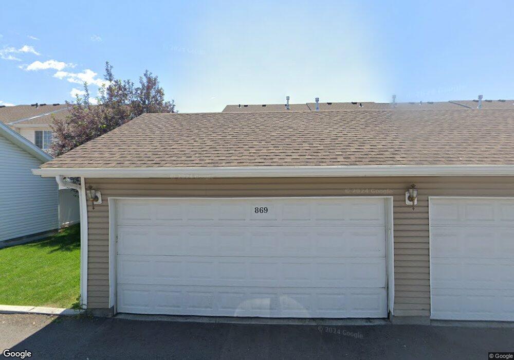
869 Capital Ln Rexburg, ID 83440
Estimated Value: $264,000 - $279,000
3
Beds
2
Baths
1,270
Sq Ft
$213/Sq Ft
Est. Value
About This Home
This home is located at 869 Capital Ln, Rexburg, ID 83440 and is currently estimated at $271,030, approximately $213 per square foot. 869 Capital Ln is a home located in Madison County with nearby schools including Burton Elementary School, Kennedy Elementary School, and Madison Junior High School.
Ownership History
Date
Name
Owned For
Owner Type
Purchase Details
Closed on
Jul 8, 2022
Sold by
Chang and Lana
Bought by
Chang Brooke
Current Estimated Value
Purchase Details
Closed on
Mar 9, 2021
Sold by
Robinson Rhett and Robinson Alison
Bought by
Chang David and Chang Lan
Purchase Details
Closed on
May 11, 2018
Sold by
Parkside Investments Llc
Bought by
Robison Rhett and Robison Alison
Purchase Details
Closed on
Nov 21, 2007
Sold by
Dyer Keith
Bought by
Hamilton Daniel R and Hamilton Heather A
Create a Home Valuation Report for This Property
The Home Valuation Report is an in-depth analysis detailing your home's value as well as a comparison with similar homes in the area
Purchase History
| Date | Buyer | Sale Price | Title Company |
|---|---|---|---|
| Chang Brooke | -- | First American Title | |
| Chang David | -- | First American Title Rexburg | |
| Robison Rhett | -- | First American Title | |
| Hamilton Daniel R | -- | -- |
Source: Public Records
Tax History
| Year | Tax Paid | Tax Assessment Tax Assessment Total Assessment is a certain percentage of the fair market value that is determined by local assessors to be the total taxable value of land and additions on the property. | Land | Improvement |
|---|---|---|---|---|
| 2025 | $2,469 | $252,406 | $35,000 | $217,406 |
| 2024 | $2,664 | $258,947 | $35,000 | $223,947 |
| 2023 | $2,664 | $252,321 | $35,000 | $217,321 |
| 2022 | $3,081 | $245,696 | $35,000 | $210,696 |
| 2021 | $3,026 | $196,764 | $20,000 | $176,764 |
| 2020 | $2,520 | $179,698 | $20,000 | $159,698 |
| 2019 | $2,413 | $156,520 | $15,000 | $141,520 |
| 2018 | $2,202 | $130,553 | $15,000 | $115,553 |
| 2017 | $2,151 | $124,062 | $15,000 | $109,062 |
| 2016 | $2,129 | $124,062 | $15,000 | $109,062 |
| 2015 | $1,852 | $105,383 | $0 | $0 |
| 2013 | -- | $109,216 | $0 | $0 |
Source: Public Records
Map
Nearby Homes
- 249 Georgetown Dr
- 880 Liberty Ln
- 871 Widdison Ln
- 758 Yost St
- 124 Tamarack Ave
- 885 W Main St Unit Lot 2
- 580 Cook St
- 530 Sunflower Rd
- 565 Pioneer Rd Unit 215
- 582 Legacy Ln
- 595 Legacy Ln
- 2240 Summers Dr Unit 102
- 2240 Summers Dr Unit 201
- 2240 Summers Dr Unit 104
- 596 Sunflower Rd Unit 596
- 610 Sunflower Rd
- 603 Countryside Ave
- 612 Sunflower Rd
- 507 W Main St
- 2213 W 550 S
- 869 Capital Ave Unit 65
- 871 Capital Ave Unit 64
- 871 Capital Ln
- 873 Capital Ln
- 873 Capital Ave Unit 63
- 867 Capital Ave
- 875 Capital Ave Unit 62
- 867 Capital Ln
- 865 Capital Ave
- 865 Capital Ln Unit 67
- 877 Capital Ave Unit 61
- 877 Capital Ave
- 877 Capital Ln
- 863 Capital Ave
- 863 Capital Ave Unit 68
- 863 Capital Ln
- 870 Capital Ave Unit 56
- 872 Capital Ave Unit 55
- 868 Capital Ave
- 866 Capital Ln
Your Personal Tour Guide
Ask me questions while you tour the home.