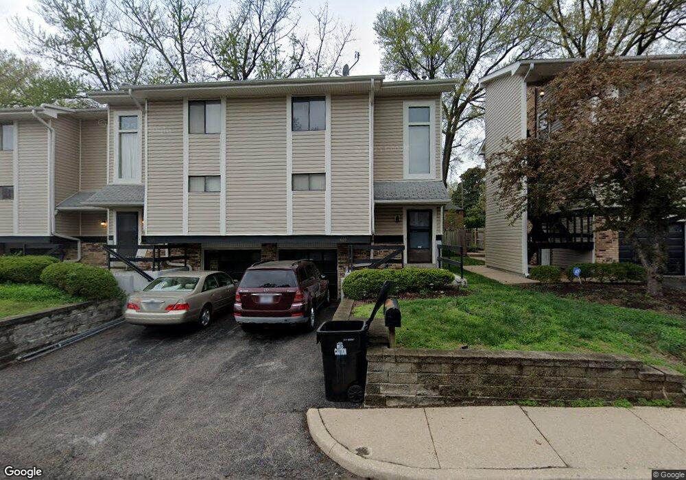
869 Lionsgate Dr Unit 2A Saint Louis, MO 63130
Estimated Value: $171,000 - $296,000
2
Beds
2
Baths
1,230
Sq Ft
$171/Sq Ft
Est. Value
About This Home
This home is located at 869 Lionsgate Dr Unit 2A, Saint Louis, MO 63130 and is currently estimated at $210,666, approximately $171 per square foot. 869 Lionsgate Dr Unit 2A is a home located in St. Louis County with nearby schools including Jackson Park Elementary School, Brittany Woods Middle School, and University City High School.
Ownership History
Date
Name
Owned For
Owner Type
Purchase Details
Closed on
Jul 29, 2004
Sold by
Friedman Benjamin A and Pinnick Friedman Allison K
Bought by
Thornhill Lance R
Current Estimated Value
Home Financials for this Owner
Home Financials are based on the most recent Mortgage that was taken out on this home.
Original Mortgage
$105,700
Outstanding Balance
$51,592
Interest Rate
5.87%
Mortgage Type
Purchase Money Mortgage
Estimated Equity
$159,074
Purchase Details
Closed on
Oct 30, 2001
Sold by
Zimny Paul R
Bought by
Friedman Benjamin A
Home Financials for this Owner
Home Financials are based on the most recent Mortgage that was taken out on this home.
Original Mortgage
$92,800
Interest Rate
6.71%
Create a Home Valuation Report for This Property
The Home Valuation Report is an in-depth analysis detailing your home's value as well as a comparison with similar homes in the area
Home Values in the Area
Average Home Value in this Area
Purchase History
| Date | Buyer | Sale Price | Title Company |
|---|---|---|---|
| Thornhill Lance R | $164,625 | Archway Title Agency Inc | |
| Friedman Benjamin A | $116,000 | -- |
Source: Public Records
Mortgage History
| Date | Status | Borrower | Loan Amount |
|---|---|---|---|
| Open | Thornhill Lance R | $105,700 | |
| Previous Owner | Friedman Benjamin A | $92,800 |
Source: Public Records
Tax History Compared to Growth
Tax History
| Year | Tax Paid | Tax Assessment Tax Assessment Total Assessment is a certain percentage of the fair market value that is determined by local assessors to be the total taxable value of land and additions on the property. | Land | Improvement |
|---|---|---|---|---|
| 2025 | $2,257 | $37,300 | $11,210 | $26,090 |
| 2024 | $2,257 | $31,330 | $6,420 | $24,910 |
| 2023 | $2,254 | $31,330 | $6,420 | $24,910 |
| 2022 | $2,193 | $28,390 | $11,210 | $17,180 |
| 2021 | $2,171 | $28,390 | $11,210 | $17,180 |
| 2020 | $2,013 | $25,600 | $8,420 | $17,180 |
| 2019 | $1,994 | $25,600 | $8,420 | $17,180 |
| 2018 | $1,855 | $21,980 | $6,420 | $15,560 |
| 2017 | $1,858 | $21,980 | $6,420 | $15,560 |
| 2016 | $1,899 | $21,510 | $5,150 | $16,360 |
| 2015 | $1,907 | $21,510 | $5,150 | $16,360 |
| 2014 | $1,989 | $22,080 | $3,900 | $18,180 |
Source: Public Records
Map
Nearby Homes
- 846 Wild Cherry Ln
- 7584 Amherst Ave
- 7634 Balson Ave
- 7823 Stanford Ave
- 7723 Wild Plum Ln
- 7812 Cornell Ave
- 7843 Cornell Ave
- 1059 N and South Rd
- 7814 Gannon Ave
- 946 Abbeville Dr
- 7835 Delmar Blvd Unit 1E, 1W, 2E, 2W
- 7484 Gannon Ave
- 7742 Elene Ave
- 7478 Drexel Dr
- 516 Warder Ave
- 7475 Drexel Dr
- 500 N and Rd S Unit 103
- 515 N Bemiston Ave
- 7510 Teasdale Ave
- 955 Mulberry Ln
- 877 Lionsgate Dr Unit 1C
- 874 Lionsgate Dr
- 881 Lionsgate Dr
- 878 Lionsgate Dr Unit 10B
- 866 Lionsgate Dr
- 870 Lionsgate Dr Unit 9D
- 882 Lionsgate Dr
- 862 Lionsgate Dr
- 873 Lionsgate Dr Unit A
- 873 Lionsgate Dr Unit B
- 865 Lionsgate Dr Unit 2B
- 886 Lionsgate Dr
- 885 Lionsgate Dr
- 861 Lionsgate Dr
- 857 Lionsgate Dr
- 7720 Blackberry Ave
- 851 Lionsgate Dr
- 850 Wild Cherry Ln
- 852 Lionsgate Dr
- 7724 Blackberry Ave