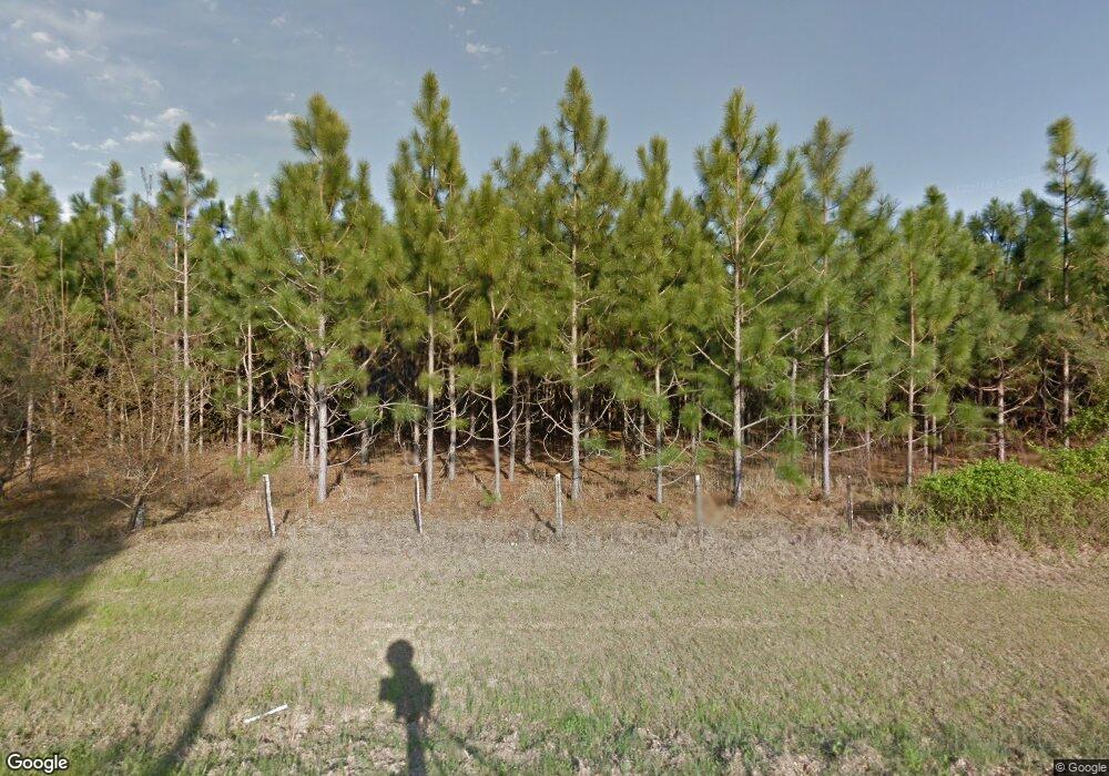
Estimated Value: $300,000
Studio
2
Baths
1,593
Sq Ft
$188/Sq Ft
Est. Value
About This Home
This home is located at 869 McGregor Alston Rd, Ailey, GA 30410 and is currently estimated at $300,000, approximately $188 per square foot. 869 McGregor Alston Rd is a home located in Montgomery County with nearby schools including Montgomery County Elementary School, Montgomery County Middle School, and Montgomery County High School.
Ownership History
Date
Name
Owned For
Owner Type
Purchase Details
Closed on
Jan 20, 2023
Sold by
Poverty Hill Farms Llc
Bought by
Thigpen Thomas Conner
Current Estimated Value
Purchase Details
Closed on
Jun 13, 2019
Sold by
Thigpen Donald M
Bought by
Poverty Hill Farm Llc
Purchase Details
Closed on
Jan 31, 2017
Sold by
Thigpen Donald M
Bought by
Stanley Janet T
Purchase Details
Closed on
Apr 24, 2014
Sold by
Thigpen Don M
Bought by
Thigpen D Alan
Purchase Details
Closed on
Sep 18, 1991
Bought by
Thigpen Beverly C
Create a Home Valuation Report for This Property
The Home Valuation Report is an in-depth analysis detailing your home's value as well as a comparison with similar homes in the area
Purchase History
| Date | Buyer | Sale Price | Title Company |
|---|---|---|---|
| Thigpen Thomas Conner | -- | -- | |
| Poverty Hill Farm Llc | -- | -- | |
| Stanley Janet T | -- | -- | |
| Thigpen D Alan | -- | -- | |
| Thigpen Beverly C | -- | -- |
Source: Public Records
Tax History Compared to Growth
Tax History
| Year | Tax Paid | Tax Assessment Tax Assessment Total Assessment is a certain percentage of the fair market value that is determined by local assessors to be the total taxable value of land and additions on the property. | Land | Improvement |
|---|---|---|---|---|
| 2025 | $1,907 | $93,565 | $90,685 | $2,880 |
| 2024 | $1,855 | $93,565 | $90,685 | $2,880 |
| 2023 | $3,070 | $136,548 | $91,188 | $45,360 |
| 2022 | $3,205 | $141,722 | $91,188 | $50,534 |
| 2021 | $3,138 | $141,722 | $91,188 | $50,534 |
| 2020 | $3,001 | $136,156 | $91,188 | $44,968 |
| 2019 | $5,683 | $230,218 | $88,002 | $142,216 |
| 2018 | $6,231 | $230,218 | $88,002 | $142,216 |
| 2017 | $6,275 | $231,852 | $88,002 | $143,850 |
| 2016 | $5,199 | $231,192 | $88,002 | $143,190 |
| 2015 | -- | $231,192 | $88,002 | $143,190 |
| 2014 | -- | $237,966 | $94,776 | $143,190 |
Source: Public Records
Map
Nearby Homes
- 168 Timberloch Dr
- 1501 Old Savannah Rd
- 2731 Saw Mill Rd
- 405 N Broughton St
- 709 Bob Sharpe Rd
- 1025 Old Dairy Rd
- 118 Gum St
- 750 Petross Rd
- 811 Hardwood Way
- 0000 Foxfire Dr
- 198 Foxfire Dr
- 2003 Chevy Place
- LOT 61 AND TRAC Lakewood Dr
- 0 Cedar Crossing Vidalia Rd
- 190 Richland Ct
- 134 Austin Way
- 00 Lots 9 & 10 Hidden Hills
- 0 Lots 9 & 10 Hidden Hills Unit 10620991
- 812 E Pearl St
- 0 Chesley Dr Unit 23818
- 818 McGregor Alston Rd
- 818 McGregor Alston Rd
- 0 Reedy Springs Rd
- 760 McGregor Alston Rd
- 1042 McGregor Alston Rd
- 1101 McGregor Alston Rd
- 732 Fire Lane Rd
- 0 Lee St Unit 15716
- 806 Fire Lane Rd
- 838 Fire Lane Rd
- 235 Fire Lane Rd
- 235 Fire Lane Rd
- 253 Fire Lane Rd
- 860 Fire Lane Rd
- 201 Fire Lane Rd
- 819 Old Ailey Lothair Rd
- 00 Reedy Creek Subdivision
- Block D Reedy Creek Subdivison
- 00 Petross Rd
- 1455 U S 280
