869 State Route 79 Windsor, NY 13865
Estimated payment $1,793/month
Total Views
629
4
Beds
2
Baths
1,750
Sq Ft
$142
Price per Sq Ft
Highlights
- Very Popular Property
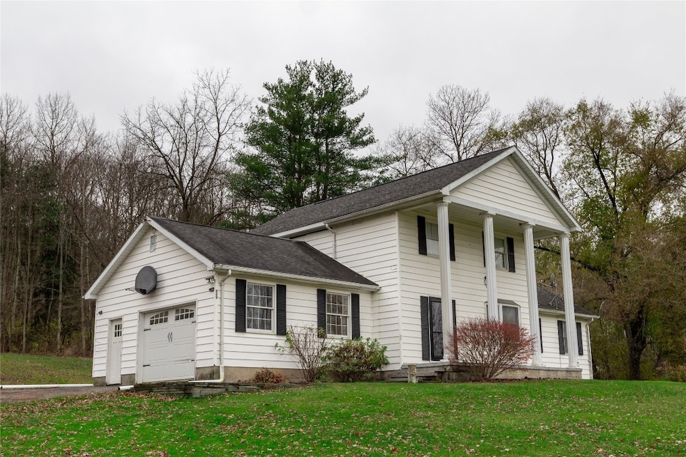
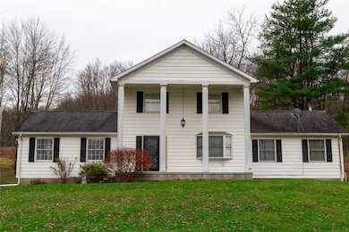
- Covered Patio or Porch
- 1 Car Attached Garage
- A.F. Palmer Elementary School / Windsor Central Middle School Rated A-
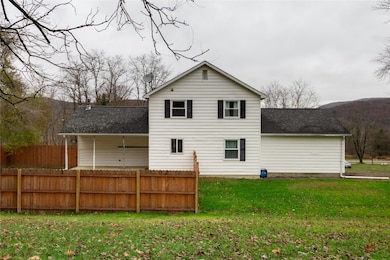
- Fenced Yard
- Views
About This Home
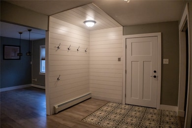
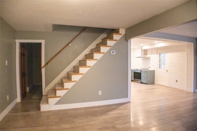
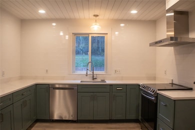
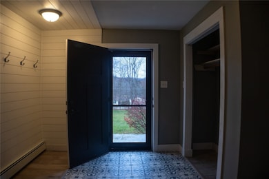
Lovely home in Windsor School District on almost 2 acres! Private lot, fenced in yard off of back patio, updated kitchen and baths. Mitsubishi Split in family room for AC and heat. Large master bedroom with master bath, newer walk in shower. First floor bedroom or office, closet organizers, large basement for storage and it is partially finished for more living space. Some new windows and new front doors. Quiet, private lot-only a mile and a half from the high school.
Home Details
Home Type
- Single Family
Est. Annual Taxes
- $5,776
Year Built
- Built in 1979
Lot Details
- Fenced Yard
- Landscaped
- Lot Sloped Up
Parking
- 1 Car Attached Garage
Home Design
- Vinyl Siding
Interior Spaces
- 1,750 Sq Ft Home
- 2-Story Property
- Central Vacuum
- Ceiling Fan
- Washer and Dryer Hookup
- Property Views
- Basement
Kitchen
- Free-Standing Range
- Dishwasher
Flooring
- Laminate
- Tile
Bedrooms and Bathrooms
- 4 Bedrooms
- 2 Full Bathrooms
Outdoor Features
- Covered Patio or Porch
Schools
- Alice Freeman Palmer Elementary School
Utilities
- Ductless Heating Or Cooling System
- Vented Exhaust Fan
- Baseboard Heating
- Well
- Oil Water Heater
- Septic Tank
Listing and Financial Details
- Assessor Parcel Number 035089-199-001-0001-017-000-0000
Map
Create a Home Valuation Report for This Property
The Home Valuation Report is an in-depth analysis detailing your home's value as well as a comparison with similar homes in the area
Home Values in the Area
Average Home Value in this Area
Tax History
| Year | Tax Paid | Tax Assessment Tax Assessment Total Assessment is a certain percentage of the fair market value that is determined by local assessors to be the total taxable value of land and additions on the property. | Land | Improvement |
|---|---|---|---|---|
| 2024 | $5,399 | $109,000 | $18,400 | $90,600 |
| 2023 | $5,477 | $109,000 | $18,400 | $90,600 |
| 2022 | $5,168 | $109,000 | $18,400 | $90,600 |
| 2021 | $5,142 | $109,000 | $18,400 | $90,600 |
| 2020 | $4,423 | $109,000 | $18,400 | $90,600 |
| 2019 | $0 | $109,000 | $18,400 | $90,600 |
| 2018 | $4,314 | $109,000 | $18,400 | $90,600 |
| 2017 | $4,297 | $109,000 | $18,400 | $90,600 |
| 2016 | $4,334 | $109,000 | $18,400 | $90,600 |
| 2015 | -- | $109,000 | $18,400 | $90,600 |
| 2014 | -- | $109,000 | $18,400 | $90,600 |
Source: Public Records
Property History
| Date | Event | Price | List to Sale | Price per Sq Ft |
|---|---|---|---|---|
| 11/12/2025 11/12/25 | For Sale | $249,000 | -- | $142 / Sq Ft |
Source: Greater Binghamton Association of REALTORS®
Purchase History
| Date | Type | Sale Price | Title Company |
|---|---|---|---|
| Deed | $152,500 | May Austin | |
| Land Contract | $108,900 | -- |
Source: Public Records
Mortgage History
| Date | Status | Loan Amount | Loan Type |
|---|---|---|---|
| Open | $157,216 | New Conventional |
Source: Public Records
Source: Greater Binghamton Association of REALTORS®
MLS Number: 333635
APN: 035089-199-001-0001-017-000-0000
Nearby Homes
- 5893 High St
- 1252 E Main St Unit 3
- 23 Roberts St
- 931 11 Route
- 57 Frances St Unit 2
- 4511 Lower Rhiney Creek Rd
- 661 State Highway 235
- 35 Riverview Ave
- 2550 Silver Lake Spur
- 249 Robinson St Unit 2
- 112 Gaylord St Unit 3
- 43 Howard Ave Unit 1
- 78 Homer St Unit 1
- 37 Hayes St
- 52 Broome St
- 44 Otseningo St
- 12 George St
- 90 Old State Rd Unit 2
- 114 Conklin Ave Unit 1R
- 31 Indiana St
