Estimated Value: $81,558 - $239,000
--
Bed
--
Bath
--
Sq Ft
2.2
Acres
About This Home
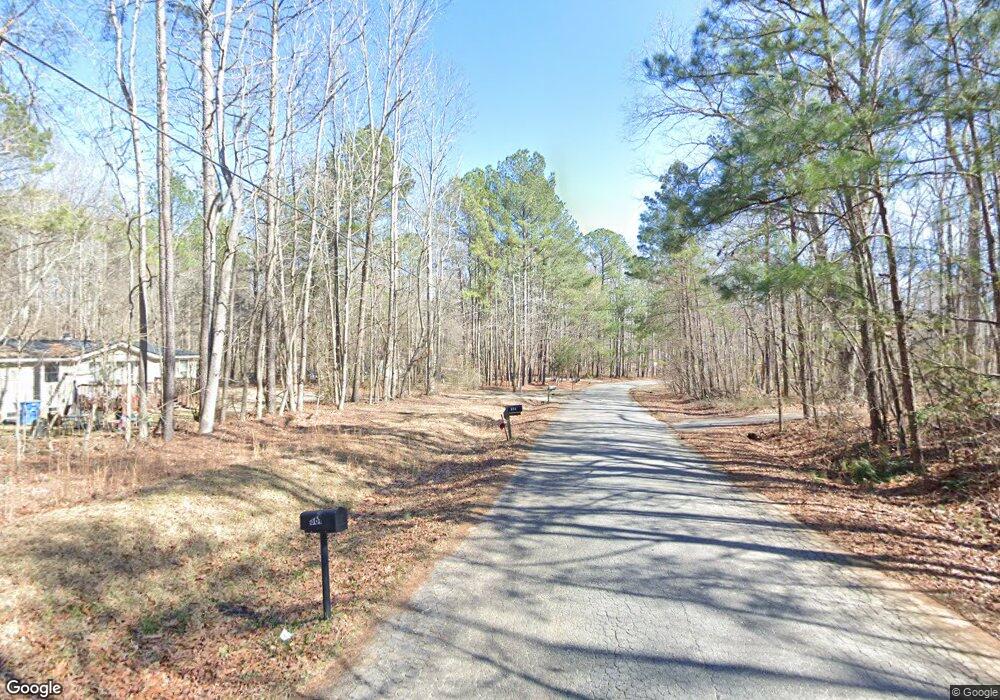
This home is located at 869 Woodale St, Hull, GA 30646 and is currently estimated at $178,186. 869 Woodale St is a home with nearby schools including Madison County High School.
Ownership History
Date
Name
Owned For
Owner Type
Purchase Details
Closed on
Feb 2, 2010
Sold by
Lewis Patricia J
Bought by
Pridgen Enterprises Inc
Current Estimated Value
Purchase Details
Closed on
Nov 10, 2003
Sold by
Mcallister Jeffery W
Bought by
Lewis Patricia J
Purchase Details
Closed on
Oct 6, 2000
Sold by
Hudgins John R
Bought by
Mcallister Jeffery W
Purchase Details
Closed on
Apr 20, 1999
Sold by
Dempsey Mike and Dempsey Susie
Bought by
Hudgins John R
Purchase Details
Closed on
Jan 1, 1995
Bought by
Dempsey Mike and Dempsey Susie
Create a Home Valuation Report for This Property
The Home Valuation Report is an in-depth analysis detailing your home's value as well as a comparison with similar homes in the area
Home Values in the Area
Average Home Value in this Area
Purchase History
| Date | Buyer | Sale Price | Title Company |
|---|---|---|---|
| Pridgen Enterprises Inc | $12,002 | -- | |
| Lewis Patricia J | -- | -- | |
| Mcallister Jeffery W | $22,000 | -- | |
| Hudgins John R | $104,000 | -- | |
| Dempsey Mike | $29,000 | -- |
Source: Public Records
Tax History Compared to Growth
Tax History
| Year | Tax Paid | Tax Assessment Tax Assessment Total Assessment is a certain percentage of the fair market value that is determined by local assessors to be the total taxable value of land and additions on the property. | Land | Improvement |
|---|---|---|---|---|
| 2025 | $297 | $11,680 | $11,680 | $0 |
| 2024 | $308 | $11,828 | $11,680 | $148 |
| 2023 | $286 | $11,828 | $11,680 | $148 |
| 2022 | $247 | $8,942 | $8,780 | $162 |
| 2021 | $273 | $8,942 | $8,780 | $162 |
| 2020 | $236 | $7,665 | $7,503 | $162 |
| 2019 | $238 | $7,665 | $7,503 | $162 |
| 2018 | $219 | $7,033 | $6,864 | $169 |
| 2017 | $189 | $6,554 | $6,385 | $169 |
| 2016 | $175 | $6,083 | $5,914 | $169 |
| 2015 | -- | $6,083 | $5,914 | $169 |
| 2014 | -- | $6,480 | $6,311 | $169 |
| 2013 | -- | $1,676 | $0 | $1,676 |
Source: Public Records
Map
Nearby Homes
- 151 Rolling Woods Ln
- 789 Glenn Carrie Rd
- 0 Virginia Ln Unit Lot 15
- 0 Virginia Ln Unit Lot 15 CL336098
- 0 Virginia Ln Unit LOT 15 10579204
- 838 Virginia Ln
- 0 Spratlin Mill Dr Unit 7665837
- 0 Spratlin Mill Dr Unit LOT 14-C
- 00 Spratlin Mill Rd
- 181 Bedford Dr
- 685 Bedford Dr
- 0 Spratlin Mill Rd Unit 1025918
- 0 Spratlin Mill Rd Unit 10526335
- 136 Wellington Dr
- 481 Bedford Dr
- 210 Joe Graham Rd
- 540 & 542 Harve Mathis Rd
- 1176 Kimberly Cir
- 8986 Highway 29 S
- 1309 Hull Rd
- 715 Maplewood Ln
- 661 Maplewood Ln
- 795 Woodale St
- 253 Fernwood Dr
- 641 Maplewood Ln
- 39 Woodbury Ln
- 60 Woodbury Ln
- 601 Maplewood Ln
- 741 Maplewood Ln
- 221 Fernwood Dr
- 581 Maplewood Ln Unit 581/583
- 581 Maplewood Ln
- 763 Woodale St
- 551 Maplewood Ln
- 648 Maplewood Ln
- 760 Woodale St
- 586 Maplewood Ln
- 533 Maplewood Ln
- 479 Maplewood Ln
- 155 Fernwood Dr