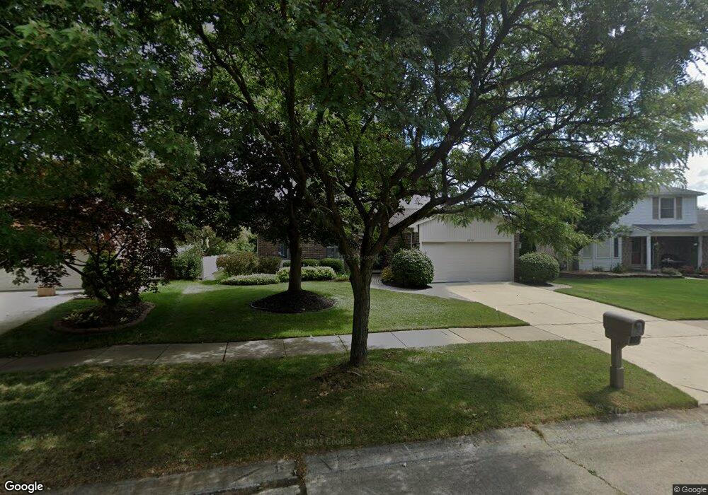
8690 Elmhurst St Canton, MI 48187
Estimated Value: $347,144 - $392,000
--
Bed
2
Baths
1,531
Sq Ft
$248/Sq Ft
Est. Value
About This Home
This home is located at 8690 Elmhurst St, Canton, MI 48187 and is currently estimated at $379,286, approximately $247 per square foot. 8690 Elmhurst St is a home located in Wayne County with nearby schools including Canton High School, Salem High School, and East Middle School.
Ownership History
Date
Name
Owned For
Owner Type
Purchase Details
Closed on
Feb 25, 1999
Sold by
Brovage Carol A
Bought by
Brovage Carol A
Current Estimated Value
Purchase Details
Closed on
May 23, 1994
Sold by
Edna Loeffler Est
Bought by
Brovage Joseph and Brovage Carol
Home Financials for this Owner
Home Financials are based on the most recent Mortgage that was taken out on this home.
Original Mortgage
$60,000
Interest Rate
4.75%
Mortgage Type
New Conventional
Create a Home Valuation Report for This Property
The Home Valuation Report is an in-depth analysis detailing your home's value as well as a comparison with similar homes in the area
Home Values in the Area
Average Home Value in this Area
Purchase History
| Date | Buyer | Sale Price | Title Company |
|---|---|---|---|
| Brovage Carol A | -- | -- | |
| Brovage Joseph | $124,500 | -- |
Source: Public Records
Mortgage History
| Date | Status | Borrower | Loan Amount |
|---|---|---|---|
| Previous Owner | Brovage Joseph | $60,000 |
Source: Public Records
Tax History Compared to Growth
Tax History
| Year | Tax Paid | Tax Assessment Tax Assessment Total Assessment is a certain percentage of the fair market value that is determined by local assessors to be the total taxable value of land and additions on the property. | Land | Improvement |
|---|---|---|---|---|
| 2025 | $1,837 | $193,000 | $0 | $0 |
| 2024 | $1,837 | $170,900 | $0 | $0 |
| 2023 | $1,752 | $155,100 | $0 | $0 |
| 2022 | $3,863 | $133,100 | $0 | $0 |
| 2021 | $3,759 | $126,900 | $0 | $0 |
| 2020 | $3,701 | $127,000 | $0 | $0 |
| 2019 | $3,639 | $117,510 | $0 | $0 |
| 2018 | $1,489 | $116,660 | $0 | $0 |
| 2017 | $3,729 | $114,200 | $0 | $0 |
| 2016 | $3,309 | $114,400 | $0 | $0 |
| 2015 | $8,180 | $102,650 | $0 | $0 |
| 2013 | $7,925 | $84,020 | $0 | $0 |
| 2010 | -- | $83,930 | $48,299 | $35,631 |
Source: Public Records
Map
Nearby Homes
- 8530 Elmhurst St
- 8591 Kingsley Dr
- 8845 Oakview St
- 8451 Mannington Rd
- 8880 Elmhurst Ave
- 8870 Brookline Ave
- 8834 Northern Ave
- 8830 Northern Ave
- 8876 N Sheldon Rd
- 44223 Crofton Ct
- 9060 N Sheldon Rd
- 9230 Brookline Ave
- 44854 Forest Trail Dr
- 9264 Brookline Ave
- 43984 Arlington Rd
- 44127 Arlington Rd
- 9405 Northern Ave
- 9453 Brookline Ave
- 9205 Rocker Ave
- 43086 Versailles Rd
- 8710 Elmhurst St
- 8670 Elmhurst St
- 8730 Elmhurst St
- 8650 Elmhurst St
- 8633 Westchester Ln
- 8615 Westchester Ln
- 8651 Westchester Ln
- 8669 Westchester Ln
- 8597 Westchester Ln
- 8671 Elmhurst St
- 8750 Elmhurst St
- 44124 Richmond Rd
- 8630 Elmhurst St
- 8689 Elmhurst St
- 8579 Westchester Ln
- 8711 Elmhurst St
- 8687 Westchester Ln
- 8770 Elmhurst St
- 44138 Richmond Rd
- 8561 Westchester Ln