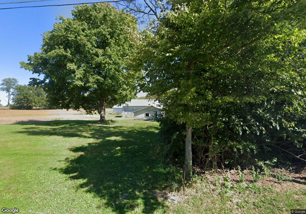
8692 Ferry Rd Waynesville, OH 45068
Wayne Township NeighborhoodEstimated Value: $339,559 - $377,000
2
Beds
2
Baths
1,234
Sq Ft
$290/Sq Ft
Est. Value
About This Home
This home is located at 8692 Ferry Rd, Waynesville, OH 45068 and is currently estimated at $358,280, approximately $290 per square foot. 8692 Ferry Rd is a home located in Warren County with nearby schools including Waynesville Elementary School, Waynesville Middle School, and Waynesville High School.
Ownership History
Date
Name
Owned For
Owner Type
Purchase Details
Closed on
Jul 20, 2015
Sold by
Klan Robert M
Bought by
Sesslar Christopher James and Christopher James Sesslar Trust
Current Estimated Value
Purchase Details
Closed on
May 8, 2015
Sold by
Klan Sherry Ann
Bought by
Klan Robert M
Purchase Details
Closed on
Oct 1, 2007
Sold by
Klan Robert M
Bought by
Klan Robert M and Klan Sherry Ann
Purchase Details
Closed on
Jun 10, 1998
Sold by
Commercial Data Center I
Bought by
Klan Frank
Purchase Details
Closed on
Sep 28, 1984
Sold by
Lucas Lucas and Lucas Maudie Mabel
Bought by
Commercial Data Center & I
Create a Home Valuation Report for This Property
The Home Valuation Report is an in-depth analysis detailing your home's value as well as a comparison with similar homes in the area
Home Values in the Area
Average Home Value in this Area
Purchase History
| Date | Buyer | Sale Price | Title Company |
|---|---|---|---|
| Sesslar Christopher James | -- | Attorney | |
| Klan Robert M | -- | Attorney | |
| Klan Robert M | -- | Landmark Title Agency South | |
| Klan Frank | $120,000 | -- | |
| Commercial Data Center & I | $83,100 | -- |
Source: Public Records
Tax History Compared to Growth
Tax History
| Year | Tax Paid | Tax Assessment Tax Assessment Total Assessment is a certain percentage of the fair market value that is determined by local assessors to be the total taxable value of land and additions on the property. | Land | Improvement |
|---|---|---|---|---|
| 2024 | $96 | $2,340 | $2,340 | -- |
| 2023 | $35 | $38,164 | $38,927 | $0 |
| 2022 | $35 | $38,164 | $38,164 | $0 |
| 2021 | $33 | $38,164 | $38,164 | $0 |
| 2020 | $57 | $0 | $0 | $0 |
| 2019 | $57 | $0 | $0 | $0 |
| 2018 | $57 | $0 | $0 | $0 |
| 2017 | $607 | $0 | $0 | $0 |
| 2016 | $568 | $0 | $0 | $0 |
| 2015 | $2,085 | $46,627 | $26,562 | $20,066 |
| 2014 | $2,318 | $43,910 | $25,670 | $18,240 |
| 2013 | $2,313 | $48,870 | $27,300 | $21,570 |
Source: Public Records
Map
Nearby Homes
- 8976 Ferry Rd
- 9510 Bellbrook Rd
- 4001 E Social Row Rd
- 1198 Lytle Rd
- 1036 Bayberry Dr
- 8519 Old Stage Rd
- 1106 Brookfield Dr Unit 1106
- 1106 Lytle Rd
- 0 Mount Holly Rd
- 3950 E State Route 73
- 4103 Middle Run Rd
- 9161 Old Stage Rd
- 60 E Ellis Dr
- 363 Victoria Place
- 7219 N Route 42
- 7219 U S 42
- 437 N Main St
- 7219 N Us Rt 42
- 460 Miami St
- 9543 Hacker Farm Ln
- 8672 Ferry Rd
- 8717 Ferry Rd
- 8667 Ferry Rd
- 8599 Ferry Rd
- 8679 Ferry Rd
- 8757 Ferry Rd
- 8792 Ferry Rd
- 5237 Chenoweth Rd
- 5181 Chenoweth Rd
- 8806 Ferry Rd
- 5291 Chenoweth Rd
- 5145 Chenoweth Rd
- 8535 Ferry Rd
- 8915 Ferry Rd
- 5333 Chenoweth Rd
- 5373 Chenoweth Rd
- 8940 Haines Rd
- 5002 Lytle Rd
- 8899 Ferry Rd
- 8509 Ferry Rd