8695 N 700 W Delphi, IN 46923
Estimated Value: $277,857 - $301,000
4
Beds
1
Bath
1,962
Sq Ft
$147/Sq Ft
Est. Value
About This Home
This home is located at 8695 N 700 W, Delphi, IN 46923 and is currently estimated at $288,714, approximately $147 per square foot. 8695 N 700 W is a home located in Carroll County with nearby schools including Twin Lakes Senior High School.
Ownership History
Date
Name
Owned For
Owner Type
Purchase Details
Closed on
Oct 9, 2013
Sold by
Sheets Sherman E
Bought by
Oilar Edwin J
Current Estimated Value
Home Financials for this Owner
Home Financials are based on the most recent Mortgage that was taken out on this home.
Original Mortgage
$113,050
Outstanding Balance
$29,964
Interest Rate
4.59%
Mortgage Type
New Conventional
Estimated Equity
$258,750
Purchase Details
Closed on
Jul 16, 1998
Sold by
Combs Harold
Bought by
Sheets Sherman
Create a Home Valuation Report for This Property
The Home Valuation Report is an in-depth analysis detailing your home's value as well as a comparison with similar homes in the area
Home Values in the Area
Average Home Value in this Area
Purchase History
| Date | Buyer | Sale Price | Title Company |
|---|---|---|---|
| Oilar Edwin J | -- | None Available | |
| Sheets Sherman | $105,000 | -- |
Source: Public Records
Mortgage History
| Date | Status | Borrower | Loan Amount |
|---|---|---|---|
| Open | Oilar Edwin J | $113,050 |
Source: Public Records
Tax History Compared to Growth
Tax History
| Year | Tax Paid | Tax Assessment Tax Assessment Total Assessment is a certain percentage of the fair market value that is determined by local assessors to be the total taxable value of land and additions on the property. | Land | Improvement |
|---|---|---|---|---|
| 2024 | $1,589 | $173,300 | $36,100 | $137,200 |
| 2023 | $1,407 | $161,400 | $33,500 | $127,900 |
| 2022 | $1,407 | $145,100 | $30,300 | $114,800 |
| 2021 | $1,365 | $133,500 | $28,800 | $104,700 |
| 2020 | $1,331 | $128,400 | $28,800 | $99,600 |
| 2019 | $1,294 | $128,400 | $30,700 | $97,700 |
| 2018 | $1,147 | $116,400 | $29,500 | $86,900 |
| 2017 | $1,079 | $117,000 | $31,200 | $85,800 |
| 2016 | $1,054 | $115,700 | $31,900 | $83,800 |
| 2014 | $992 | $108,600 | $34,200 | $74,400 |
Source: Public Records
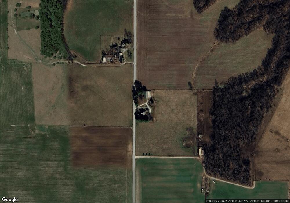
Map
Nearby Homes
- 5122 W 700 N
- 11400 W Paradise Rd
- 6518 N 285 W
- 11791 W Pirates Roost Rd
- 6374 N 260 W
- 4139 N 900 W
- 6365 Erie St
- 5826 E St John Ave
- 11912 W Breezy Point Dr
- 11921 W Breezy Point Dr
- 11914 W Breezy Point Dr
- 5758 St Johns Ave
- 5748 St Johns Ave
- 5747 St Johns Ave
- Lot 28 Snider Ct Unit 28
- Lot 37 Snider Ct Unit 37
- Lot 31 Snider Ct Unit 31
- Lot 38 Snider Ct Unit 38
- Lot 36 Snider Ct Unit 36
- Lot 39 Snider Ct Unit 39