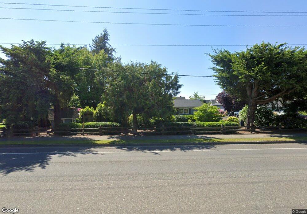
8697 Depot Rd Lynden, WA 98264
Estimated Value: $671,000 - $883,000
3
Beds
2
Baths
2,306
Sq Ft
$335/Sq Ft
Est. Value
About This Home
This home is located at 8697 Depot Rd, Lynden, WA 98264 and is currently estimated at $772,092, approximately $334 per square foot. 8697 Depot Rd is a home located in Whatcom County with nearby schools including Lynden High School, Lynden Christian School, and Lynden Christian Schools: Administration.
Ownership History
Date
Name
Owned For
Owner Type
Purchase Details
Closed on
Mar 28, 2005
Sold by
Shagren Craig W and Shagren Shari B
Bought by
Homestead Nw Dev Co
Current Estimated Value
Home Financials for this Owner
Home Financials are based on the most recent Mortgage that was taken out on this home.
Original Mortgage
$100,000
Outstanding Balance
$51,000
Interest Rate
5.6%
Mortgage Type
Seller Take Back
Estimated Equity
$721,092
Create a Home Valuation Report for This Property
The Home Valuation Report is an in-depth analysis detailing your home's value as well as a comparison with similar homes in the area
Home Values in the Area
Average Home Value in this Area
Purchase History
| Date | Buyer | Sale Price | Title Company |
|---|---|---|---|
| Homestead Nw Dev Co | $250,000 | Whatcom Land Title |
Source: Public Records
Mortgage History
| Date | Status | Borrower | Loan Amount |
|---|---|---|---|
| Open | Homestead Nw Dev Co | $100,000 |
Source: Public Records
Tax History Compared to Growth
Tax History
| Year | Tax Paid | Tax Assessment Tax Assessment Total Assessment is a certain percentage of the fair market value that is determined by local assessors to be the total taxable value of land and additions on the property. | Land | Improvement |
|---|---|---|---|---|
| 2024 | $4,904 | $688,377 | $303,125 | $385,252 |
| 2023 | $4,904 | $682,935 | $312,500 | $370,435 |
| 2022 | $4,105 | $539,219 | $180,510 | $358,709 |
| 2021 | $4,026 | $445,630 | $149,180 | $296,450 |
| 2020 | $3,527 | $397,895 | $133,200 | $264,695 |
| 2019 | $3,137 | $364,937 | $122,300 | $242,637 |
| 2018 | $3,429 | $332,804 | $111,410 | $221,394 |
| 2017 | $3,196 | $298,720 | $100,000 | $198,720 |
| 2016 | $3,021 | $296,161 | $101,200 | $194,961 |
| 2015 | $2,677 | $278,390 | $97,336 | $181,054 |
| 2014 | -- | $268,955 | $94,024 | $174,931 |
| 2013 | -- | $266,931 | $92,000 | $174,931 |
Source: Public Records
Map
Nearby Homes
- 1725 Harrison Place Unit 104
- 8780 Depot Rd Unit 207
- 8780 Depot Rd Unit 308
- 8780 Depot Rd Unit 309
- 500 Fieldstone Loop Unit 13
- 114 Twin Sister Loop
- 761 Sunrise Dr
- 8872 Depot Rd Unit 203
- 107 Springview Dr
- 325 Island Green Way
- 2008 Greenview Ln
- 0 Island Green Way
- 872 Sunrise Dr
- 449 Island Green Way
- 1739 Emerald Way
- 0 Benson Rd Unit NWM2378945
- 301 S Park St
- 1877 Emerald Way
- 891 W Park St
- 9586 Bender Rd
- 8701 Depot Rd
- 1740 Harrison Place Unit B
- 1740 Harrison Place Unit A
- 8700 Depot Rd
- 1764 Harrison Place Unit B
- 1725 Harrison Place Unit 106
- 1725 Harrison Place Unit 105
- 1725 Harrison Place Unit 102
- 1725 Harrison Place Unit 101
- 1725 Harrison Place
- 301 Sunrise Dr
- 400 Sunrise Dr
- 1548 Primrose Ct
- 8696 Depot Rd
- 8698 Depot Rd
- 270 W Maberry Dr
- 1536 Primrose Ct
- 8679 Depot Rd
- 8686 Depot Rd
- 1524 Primrose Ct