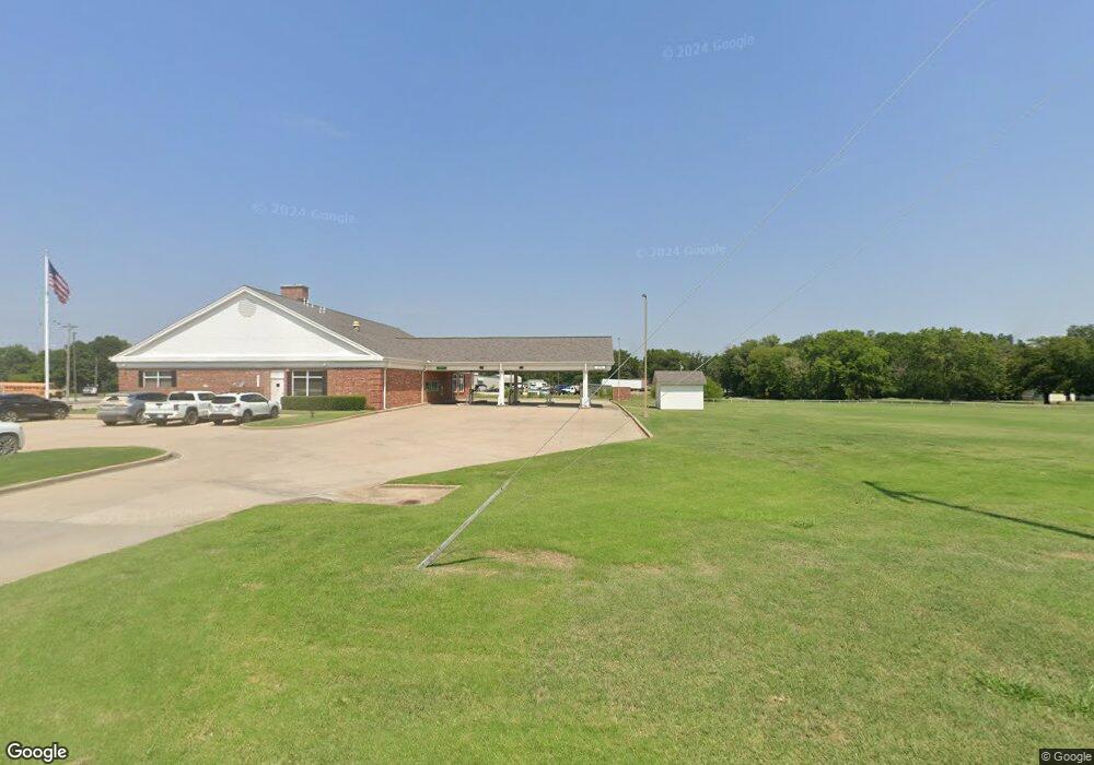
86D Rr 2 Haskell, OK 74436
Estimated Value: $207,000 - $319,000
Studio
--
Bath
1,628
Sq Ft
$153/Sq Ft
Est. Value
About This Home
This home is located at 86D Rr 2, Haskell, OK 74436 and is currently estimated at $248,667, approximately $152 per square foot. 86D Rr 2 is a home with nearby schools including Mary White Elementary School, Haskell Middle School, and Haskell High School.
Ownership History
Date
Name
Owned For
Owner Type
Purchase Details
Closed on
Sep 13, 2007
Sold by
Neal Derrick L and Neal Kathy
Bought by
Dng Business Developers Llc
Current Estimated Value
Purchase Details
Closed on
Mar 2, 2006
Sold by
Citifinancial Mortgage Company Inc
Bought by
Neal Derrick L
Purchase Details
Closed on
Nov 12, 1999
Sold by
Hobbs Michael
Purchase Details
Closed on
Aug 15, 1998
Sold by
Godfrey Gordon T
Purchase Details
Closed on
Oct 29, 1996
Sold by
Boyd Marsha Louise
Purchase Details
Closed on
May 28, 1996
Sold by
Wyatt Tyler and Boyd Marsha L
Create a Home Valuation Report for This Property
The Home Valuation Report is an in-depth analysis detailing your home's value as well as a comparison with similar homes in the area
Purchase History
| Date | Buyer | Sale Price | Title Company |
|---|---|---|---|
| Dng Business Developers Llc | $47,500 | None Available | |
| Neal Derrick L | $27,500 | Oklahoma Reo Closing & Title | |
| -- | $35,000 | -- | |
| -- | -- | -- | |
| -- | -- | -- | |
| -- | -- | -- |
Source: Public Records
Tax History
| Year | Tax Paid | Tax Assessment Tax Assessment Total Assessment is a certain percentage of the fair market value that is determined by local assessors to be the total taxable value of land and additions on the property. | Land | Improvement |
|---|---|---|---|---|
| 2025 | $1,101 | $10,160 | $1,399 | $8,761 |
| 2024 | $874 | $9,676 | $1,332 | $8,344 |
| 2023 | $833 | $9,215 | $1,269 | $7,946 |
| 2022 | $856 | $8,777 | $1,199 | $7,578 |
| 2021 | $850 | $8,359 | $1,112 | $7,247 |
| 2020 | $821 | $7,960 | $1,024 | $6,936 |
| 2019 | $768 | $7,582 | $962 | $6,620 |
| 2018 | $740 | $7,221 | $922 | $6,299 |
| 2017 | $698 | $6,877 | $902 | $5,975 |
| 2016 | $625 | $6,550 | $886 | $5,664 |
| 2015 | -- | $6,237 | $744 | $5,493 |
| 2014 | -- | $5,941 | $700 | $5,241 |
Source: Public Records
Map
Nearby Homes
- 0000 Bakers Rd
- 19018 Us Highway 64
- 0 S 221st East Ave
- 20172 US Highway 64
- 21665 E 186th St S
- 17331 E 174th St S
- 16610 S 185th East Ave
- 16602 S 203rd East Ave
- 7691 U S 64
- 0 154th East Ave
- 19682 S 145th Ave E
- 27000 E 201st St S
- 17039 S 161st East Ave
- 0 S 145th East Ave
- 3573 E 191st St S
- 14500 E 202nd St S
- 6095 N 224th St W
- 0 S 145th Ave Unit 2524079
- 14511 E 202nd St S
- 25888 E 191st St S
- 19633 S 199th East Ave
- 19637 S 199th East Ave
- 19999 E 197th St S
- 19636 S 199th East Ave
- 7835 S Dnanite
- 20061 E 197th St S
- 20068 E 195th St S
- 20263 E 197th St S
- 19954 E 197th St S
- 19550 S 205th East Ave
- 19901 E 195th St S
- 19667 E 197th St S
- 19607 E 197th St S
- 20110 E 197th St S
- 19564 S 205th East Ave
- 19373 S 199th East Ave
- 20275 E 195th St S
- 20341 E 195th St S
- 20302 E 197th St S
- 19579 E 197th St S
Your Personal Tour Guide
Ask me questions while you tour the home.