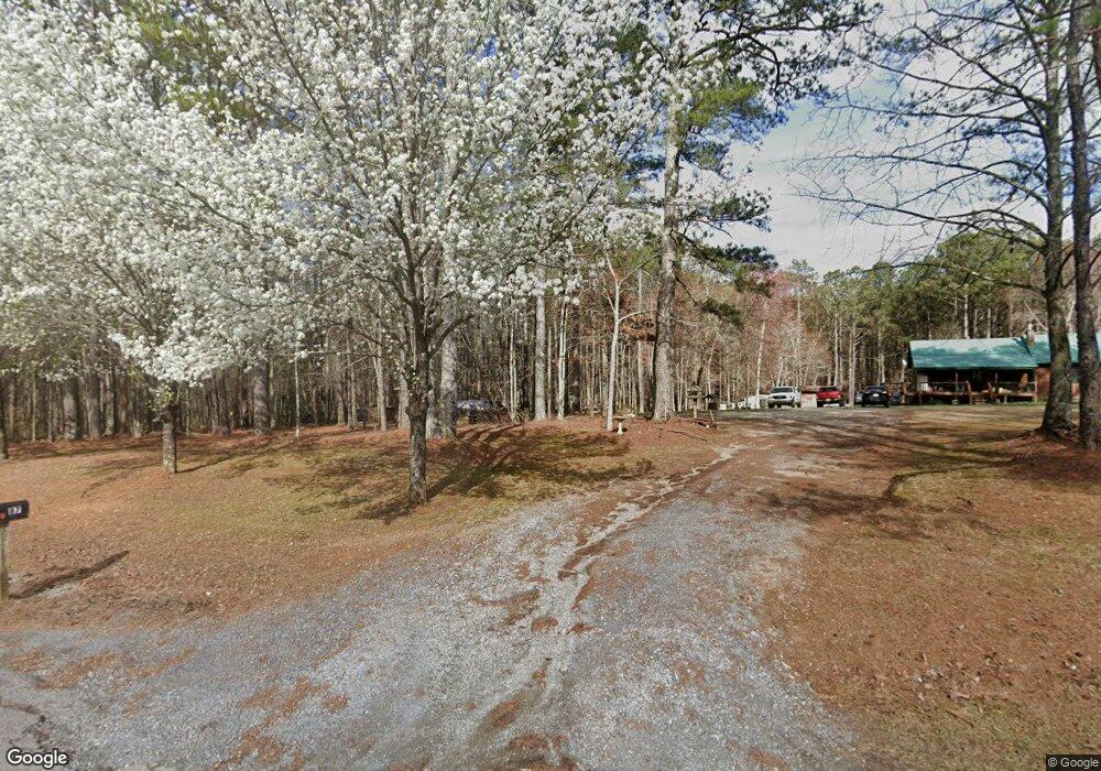
87 Allred Rd Buchanan, GA 30113
Estimated Value: $260,000 - $277,000
3
Beds
2
Baths
1,078
Sq Ft
$248/Sq Ft
Est. Value
About This Home
This home is located at 87 Allred Rd, Buchanan, GA 30113 and is currently estimated at $267,344, approximately $248 per square foot. 87 Allred Rd is a home located in Haralson County with nearby schools including Haralson County High School.
Ownership History
Date
Name
Owned For
Owner Type
Purchase Details
Closed on
Jan 22, 2010
Sold by
Miller Michael Scott
Bought by
Miller Michael Scott and Miller Cathy J
Current Estimated Value
Home Financials for this Owner
Home Financials are based on the most recent Mortgage that was taken out on this home.
Original Mortgage
$104,000
Outstanding Balance
$67,702
Interest Rate
5.02%
Mortgage Type
New Conventional
Estimated Equity
$199,642
Purchase Details
Closed on
Mar 15, 1993
Bought by
Miller Michael Scott
Create a Home Valuation Report for This Property
The Home Valuation Report is an in-depth analysis detailing your home's value as well as a comparison with similar homes in the area
Purchase History
| Date | Buyer | Sale Price | Title Company |
|---|---|---|---|
| Miller Michael Scott | -- | -- | |
| Miller Michael Scott | -- | -- |
Source: Public Records
Mortgage History
| Date | Status | Borrower | Loan Amount |
|---|---|---|---|
| Open | Miller Michael Scott | $104,000 |
Source: Public Records
Tax History
| Year | Tax Paid | Tax Assessment Tax Assessment Total Assessment is a certain percentage of the fair market value that is determined by local assessors to be the total taxable value of land and additions on the property. | Land | Improvement |
|---|---|---|---|---|
| 2025 | $1,244 | $107,372 | $44,701 | $62,671 |
| 2024 | $1,244 | $49,962 | $17,933 | $32,029 |
| 2023 | $1,316 | $51,068 | $16,502 | $34,566 |
| 2022 | $1,127 | $44,029 | $16,502 | $27,527 |
| 2021 | $1,112 | $41,819 | $15,454 | $26,365 |
| 2020 | $1,139 | $42,588 | $15,454 | $27,134 |
| 2019 | $1,155 | $41,636 | $15,454 | $26,182 |
| 2018 | $1,206 | $42,813 | $16,631 | $26,182 |
| 2017 | $1,242 | $40,179 | $16,631 | $23,548 |
| 2016 | $1,073 | $37,031 | $17,617 | $19,414 |
| 2015 | $1,068 | $36,837 | $17,617 | $19,221 |
| 2014 | $1,052 | $36,860 | $17,617 | $19,243 |
Source: Public Records
Map
Nearby Homes
- 40 Red Oak Cir
- 80 Rosemary Way
- 91 Rosemary Way
- 4008 Georgia 120
- 723 Buchanan Bypass
- 0 Pope Rd
- 109 Pope Rd
- 731 Seabreeze Lake Rd
- 735 Seabreeze Lake Rd
- 150 Addie Jane Ln
- 143 Addie Jane Ln
- 101 3rd Ave
- 65 Magnolia St
- 315 Carrollton St
- 366 Tallapoosa East Church Rd
- 0 Hwy 120 Hwy 27 - 19 15 Acres Unit 7666058
- 901 Tallapoosa East Church Rd
- 265 Perry Ln
- 0 Tallapoosa St Unit 10688421
- 43 Mimosa St
- 38 Allred Rd
- 141 Allred Rd
- 46 Allred Rd
- 37 Allred Rd
- 00000 Five Points Rd
- 0 Five Pts Rd Unit 8415884
- 44 Allred Rd
- 35 Allred Rd
- 0 Allred Rd Unit Tract 3 8012880
- 0 Allred Rd Unit Tract 2 8012538
- 00 Allred Rd
- 0 Allred Rd
- 501 Five Points Rd
- 30 Willowleaf Dr
- 30 Willow Leaf Dr
- 20 Willow Leaf Dr
- 519 Five Points Rd
- 531 Five Points Rd
- 50 Willow Leaf Dr
- 11 Red Oak Cir
Your Personal Tour Guide
Ask me questions while you tour the home.