87 Arapahoe Ln Hazleton, PA 18202
Estimated Value: $416,000 - $482,000
5
Beds
4
Baths
2,815
Sq Ft
$163/Sq Ft
Est. Value
About This Home
This home is located at 87 Arapahoe Ln, Hazleton, PA 18202 and is currently estimated at $459,653, approximately $163 per square foot. 87 Arapahoe Ln is a home located in Schuylkill County with nearby schools including Hazleton Area High School.
Ownership History
Date
Name
Owned For
Owner Type
Purchase Details
Closed on
Dec 29, 2020
Sold by
Hogan Daniel L and Hogan Susanne L
Bought by
Durdan Michael and Durdan Carla
Current Estimated Value
Home Financials for this Owner
Home Financials are based on the most recent Mortgage that was taken out on this home.
Original Mortgage
$258,000
Outstanding Balance
$230,104
Interest Rate
2.67%
Mortgage Type
New Conventional
Estimated Equity
$229,549
Purchase Details
Closed on
Feb 20, 2008
Sold by
Schlupp James and Mcmonagle Schlupp Megan J
Bought by
Hogan Daniel J and Hogan Susanne L
Home Financials for this Owner
Home Financials are based on the most recent Mortgage that was taken out on this home.
Original Mortgage
$27,972
Interest Rate
5.57%
Mortgage Type
Credit Line Revolving
Purchase Details
Closed on
Jul 7, 2005
Sold by
Schlupp James and Schlupp Megan
Bought by
Schlupp James and Schlupp Megan J
Create a Home Valuation Report for This Property
The Home Valuation Report is an in-depth analysis detailing your home's value as well as a comparison with similar homes in the area
Home Values in the Area
Average Home Value in this Area
Purchase History
| Date | Buyer | Sale Price | Title Company |
|---|---|---|---|
| Durdan Michael | $330,000 | None Available | |
| Hogan Daniel J | $280,000 | None Available | |
| Schlupp James | -- | None Available |
Source: Public Records
Mortgage History
| Date | Status | Borrower | Loan Amount |
|---|---|---|---|
| Open | Durdan Michael | $258,000 | |
| Previous Owner | Hogan Daniel J | $27,972 |
Source: Public Records
Tax History Compared to Growth
Tax History
| Year | Tax Paid | Tax Assessment Tax Assessment Total Assessment is a certain percentage of the fair market value that is determined by local assessors to be the total taxable value of land and additions on the property. | Land | Improvement |
|---|---|---|---|---|
| 2025 | $3,442 | $54,655 | $2,980 | $51,675 |
| 2024 | $3,168 | $54,655 | $2,980 | $51,675 |
| 2023 | $3,105 | $54,655 | $2,980 | $51,675 |
| 2022 | $3,165 | $54,655 | $2,980 | $51,675 |
| 2021 | $3,025 | $54,655 | $2,980 | $51,675 |
| 2020 | $3,005 | $54,655 | $2,980 | $51,675 |
| 2018 | $3,071 | $54,655 | $2,980 | $51,675 |
| 2017 | $2,994 | $54,655 | $2,980 | $51,675 |
| 2015 | -- | $54,655 | $2,980 | $51,675 |
| 2011 | -- | $54,655 | $0 | $0 |
Source: Public Records
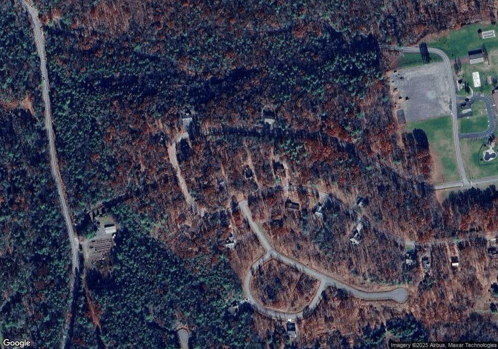
Map
Nearby Homes
- AWS-19 Sayre Dr
- AWS-5 Sayre Dr
- AW 012 Arapahoe Ln
- 003 Okwes Ln
- AV2 030 Sisilia Ln
- 26 Tahkox Dr
- EA Lot 247 Algonquin Dr
- 0 Algonquin Dr Unit 24-281
- 0 Algonquin Dr Unit PASK2022426
- 64 Algonquin Dr
- 32 Arapahoe Cir
- 132 Kenoza Dr
- 114 Summit Rd
- 55 Conyngham Dr
- WS-041 Summit Rd
- 40 Derringer St
- 67 Huron Cir
- 0 Mid Summit Dr
- 138 Mid Summit Dr
- 720 Turnberry Ln
- 105 Arapahoe Ln
- 0 Lot 16 Rvw Turnberry Ln
- 89 Aw North Side of Arapahoe Ln
- 93 Arapahoe Ln
- 81 Arapahoe Ln
- 81 Arapahoe Ln
- 96 Arapaho Ln
- 96 Arapahoe Ln
- 34 Arapahoe Ln
- 68 Arapahoe Ln
- 34 Arapaho Ln
- 78 Arapaho Ln
- 55 Arapahoe Ln
- 55 Arapaho Ln
- 70 Arapahoe Ln
- 72 Arapahoe Ln
- 48 Arapaho Ln
- 48 Arapahoe Ln
- 24 Arapahoe Ln
- 24 Arapahoe Ln