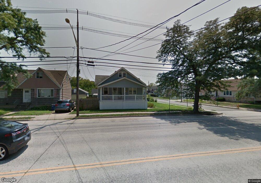
87 Atlantic Ave Freeport, NY 11520
Estimated Value: $537,000 - $547,872
--
Bed
2
Baths
1,341
Sq Ft
$405/Sq Ft
Est. Value
About This Home
This home is located at 87 Atlantic Ave, Freeport, NY 11520 and is currently estimated at $542,436, approximately $404 per square foot. 87 Atlantic Ave is a home located in Nassau County with nearby schools including Columbus Avenue School, Caroline G. Atkinson Intermediate School, and John W Dodd Middle School.
Ownership History
Date
Name
Owned For
Owner Type
Purchase Details
Closed on
May 16, 2002
Sold by
Vito Josefa
Bought by
Adames Domingo
Current Estimated Value
Purchase Details
Closed on
Sep 28, 2001
Purchase Details
Closed on
Feb 2, 1996
Sold by
Castro Michael and Castro Elizabeth
Bought by
Pena Sixto
Home Financials for this Owner
Home Financials are based on the most recent Mortgage that was taken out on this home.
Original Mortgage
$100,000
Interest Rate
7.25%
Create a Home Valuation Report for This Property
The Home Valuation Report is an in-depth analysis detailing your home's value as well as a comparison with similar homes in the area
Home Values in the Area
Average Home Value in this Area
Purchase History
| Date | Buyer | Sale Price | Title Company |
|---|---|---|---|
| Adames Domingo | $234,000 | Richard Martin | |
| -- | -- | -- | |
| Pena Sixto | $140,000 | -- |
Source: Public Records
Mortgage History
| Date | Status | Borrower | Loan Amount |
|---|---|---|---|
| Previous Owner | Pena Sixto | $100,000 |
Source: Public Records
Tax History Compared to Growth
Tax History
| Year | Tax Paid | Tax Assessment Tax Assessment Total Assessment is a certain percentage of the fair market value that is determined by local assessors to be the total taxable value of land and additions on the property. | Land | Improvement |
|---|---|---|---|---|
| 2025 | $6,607 | $348 | $157 | $191 |
| 2024 | $805 | $348 | $157 | $191 |
| 2023 | $6,856 | $348 | $157 | $191 |
| 2022 | $6,856 | $348 | $157 | $191 |
| 2021 | $10,837 | $333 | $150 | $183 |
| 2020 | $8,196 | $660 | $419 | $241 |
| 2019 | $8,374 | $660 | $419 | $241 |
| 2018 | $8,120 | $660 | $0 | $0 |
| 2017 | $6,543 | $660 | $419 | $241 |
| 2016 | $7,533 | $660 | $419 | $241 |
| 2015 | $953 | $660 | $419 | $241 |
| 2014 | $953 | $660 | $419 | $241 |
| 2013 | $901 | $660 | $419 | $241 |
Source: Public Records
Map
Nearby Homes
- 51 Atlantic Ave
- 120 Sportsmans Ave
- 21 Stillwell Place
- 125 Garfield St
- 159 Southside Ave
- 121 Garfield St
- 252 Arthur St
- 5 Sportsmans Ave
- 142 Gordon Place
- 18 Halsey St
- 280 Guy Lombardo Ave Unit 5G
- 280 Guy Lombardo Ave Unit 2H
- 177 Sportsmans Ave
- 308 Bedell St
- 175 Archer St Unit 1C
- 175 Archer St Unit 3A
- 61 East Ave
- 193 Sportsmans Ave
- 47 East Ave
- 208 Sportsmans Ave