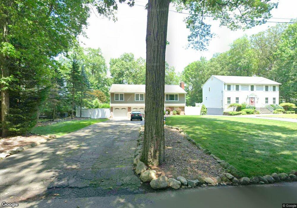
87 Beech St Ramsey, NJ 07446
Estimated Value: $836,586 - $903,000
Studio
--
Bath
1,926
Sq Ft
$448/Sq Ft
Est. Value
About This Home
This home is located at 87 Beech St, Ramsey, NJ 07446 and is currently estimated at $861,897, approximately $447 per square foot. 87 Beech St is a home located in Bergen County with nearby schools including Ramsey High School and Young World Day School.
Ownership History
Date
Name
Owned For
Owner Type
Purchase Details
Closed on
Jul 31, 2015
Sold by
Mazzella Patrick and Mazzella Patricia
Bought by
Malatino Guy and Malatino Megan
Current Estimated Value
Home Financials for this Owner
Home Financials are based on the most recent Mortgage that was taken out on this home.
Original Mortgage
$425,000
Outstanding Balance
$334,827
Interest Rate
4.08%
Mortgage Type
VA
Estimated Equity
$527,070
Purchase Details
Closed on
Jun 16, 2000
Sold by
Nagata Toshimi and Nagata Masae
Bought by
Mazzella Patrick and Mazzella Patricia
Home Financials for this Owner
Home Financials are based on the most recent Mortgage that was taken out on this home.
Original Mortgage
$187,100
Interest Rate
8.48%
Purchase Details
Closed on
Jun 18, 1993
Sold by
Landskron Jerry and Landskron Barbara
Bought by
Nagata Toshimi and Nagata Masae
Create a Home Valuation Report for This Property
The Home Valuation Report is an in-depth analysis detailing your home's value as well as a comparison with similar homes in the area
Home Values in the Area
Average Home Value in this Area
Purchase History
| Date | Buyer | Sale Price | Title Company |
|---|---|---|---|
| Malatino Guy | $565,000 | None Available | |
| Mazzella Patrick | $377,000 | -- | |
| Nagata Toshimi | $256,000 | -- |
Source: Public Records
Mortgage History
| Date | Status | Borrower | Loan Amount |
|---|---|---|---|
| Open | Malatino Guy | $425,000 | |
| Previous Owner | Mazzella Patrick | $187,100 |
Source: Public Records
Tax History
| Year | Tax Paid | Tax Assessment Tax Assessment Total Assessment is a certain percentage of the fair market value that is determined by local assessors to be the total taxable value of land and additions on the property. | Land | Improvement |
|---|---|---|---|---|
| 2025 | $15,129 | $701,300 | $381,600 | $319,700 |
| 2024 | $14,673 | $536,100 | $304,700 | $231,400 |
| 2023 | $13,812 | $536,100 | $304,700 | $231,400 |
| 2022 | $14,062 | $536,100 | $304,700 | $231,400 |
| 2021 | $13,651 | $536,100 | $304,700 | $231,400 |
| 2020 | $13,778 | $536,100 | $304,700 | $231,400 |
| 2019 | $13,177 | $536,100 | $304,700 | $231,400 |
| 2018 | $12,850 | $536,100 | $304,700 | $231,400 |
| 2017 | $12,609 | $536,100 | $304,700 | $231,400 |
| 2016 | $12,261 | $536,100 | $304,700 | $231,400 |
| 2015 | $12,570 | $465,400 | $318,400 | $147,000 |
| 2014 | $12,356 | $465,400 | $318,400 | $147,000 |
Source: Public Records
Map
Nearby Homes
- 199 Darlington Ave
- 241 Grove St
- 420 N Central Ave
- 46 Cherry Ln
- 206 Peterson Place
- 44 N Central Ave
- 272 Myrtle Ave
- 2506 Hemingway Ln
- 3707 Mark Twain Way
- 2309 Hemingway Ln
- 2004 Hawthorne Ln
- 2007 Hawthorne Ln
- 3807 Melville Ct
- 3806 Melville Ct
- 1712 Faulkner Ct
- 907 Thoreau Ct
- 667 Juniper Way
- 1810 Faulkner Ct
- 164 Island Ave
- 1419 Faulkner Ct
Your Personal Tour Guide
Ask me questions while you tour the home.