87 Bernice Ln Midway, GA 31320
Estimated Value: $71,442 - $240,000
3
Beds
2
Baths
1,120
Sq Ft
$136/Sq Ft
Est. Value
About This Home
This home is located at 87 Bernice Ln, Midway, GA 31320 and is currently estimated at $151,861, approximately $135 per square foot. 87 Bernice Ln is a home located in Liberty County with nearby schools including Liberty Elementary School, Midway Middle School, and Liberty County High School.
Ownership History
Date
Name
Owned For
Owner Type
Purchase Details
Closed on
Apr 15, 2010
Sold by
Houston Samuel J
Bought by
Dewitt Paulette
Current Estimated Value
Purchase Details
Closed on
Jan 28, 2009
Sold by
Dewitt Paulette and Houston Samu
Bought by
Houston Samuel J and Paulette Dewitt
Purchase Details
Closed on
Apr 6, 1995
Bought by
Dewitt Paulette
Create a Home Valuation Report for This Property
The Home Valuation Report is an in-depth analysis detailing your home's value as well as a comparison with similar homes in the area
Home Values in the Area
Average Home Value in this Area
Purchase History
| Date | Buyer | Sale Price | Title Company |
|---|---|---|---|
| Dewitt Paulette | -- | -- | |
| Houston Samuel J | $105,100 | -- | |
| Houston Samuel J | $105,059 | -- | |
| Affordable Homes Inc | -- | -- | |
| Houston Samuel J | -- | -- | |
| Dewitt Paulette | $2,000 | -- |
Source: Public Records
Tax History Compared to Growth
Tax History
| Year | Tax Paid | Tax Assessment Tax Assessment Total Assessment is a certain percentage of the fair market value that is determined by local assessors to be the total taxable value of land and additions on the property. | Land | Improvement |
|---|---|---|---|---|
| 2024 | $102 | $2,479 | $1,479 | $1,000 |
| 2023 | $102 | $7,538 | $1,479 | $6,059 |
| 2022 | $288 | $7,957 | $1,479 | $6,478 |
| 2021 | $319 | $8,794 | $1,479 | $7,315 |
| 2020 | $326 | $9,213 | $1,479 | $7,734 |
| 2019 | $338 | $9,631 | $1,479 | $8,152 |
| 2018 | $348 | $9,971 | $1,479 | $8,492 |
| 2017 | $343 | $10,412 | $1,479 | $8,933 |
| 2016 | $362 | $10,752 | $1,479 | $9,273 |
| 2015 | $412 | $11,419 | $2,146 | $9,273 |
| 2014 | $412 | $12,108 | $2,394 | $9,714 |
| 2013 | -- | $11,147 | $1,643 | $9,504 |
Source: Public Records
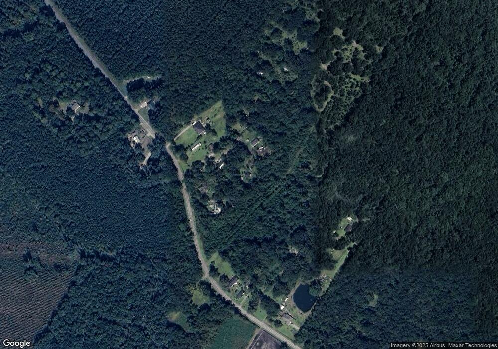
Map
Nearby Homes
- 984 Stone Ct
- 1123 Stone Ct
- 182 Gloucester Dr
- 124 Denham Ln
- 124 Denham Ln
- 0000 E Oglethorpe Hwy
- 0 E Oglethorpe Unit 10592168
- 0 E Oglethorpe Unit SA333651
- 0 E Oglethorpe Unit 153327
- 0 S Coastal Hwy
- 175 U S 17
- 9 Ashlynn Ln
- 211 Smiley Loop Rd
- 21 Smiley Loop Rd
- 1979 S Coastal Hwy
- 10 Katelynn Ln
- 307 Cottage Loop
- 177 Cottage Loop
- 62 Carver Way
- 931 Stone Ct
- 95 Bernice Ln
- 47 Bernice Ln
- 690 Bacontown Rd
- 662 Bacontown Rd
- 630 Bacontown Rd
- 858 Bacontown Rd
- 635 Bacontown Rd
- 3.50 ACRE Bacontown Rd
- 970 Bacontown Rd
- 852 Bacontown Rd
- 582 Bacontown Rd
- 599 Bacontown Rd
- 817 Bacontown Rd
- 942 Bacontown Rd
- 888 Bacontown Rd
- 561 Bacontown Rd
- 1046 Bacontown Rd
- 1048 Bacontown Rd
- 1098 Bacontown Rd
- 1098 Bacontown Rd