87 Bill Thompson Rd Hazlehurst, GA 31539
Estimated Value: $1,711,823
--
Bed
3
Baths
4,815
Sq Ft
$356/Sq Ft
Est. Value
About This Home
This home is located at 87 Bill Thompson Rd, Hazlehurst, GA 31539 and is currently estimated at $1,711,823, approximately $355 per square foot. 87 Bill Thompson Rd is a home located in Jeff Davis County with nearby schools including Jeff Davis Primary School, Jeff Davis Elementary School, and Jeff Davis Middle School.
Ownership History
Date
Name
Owned For
Owner Type
Purchase Details
Closed on
Oct 14, 2022
Sold by
Hackett Farms Llc
Bought by
French Construction Inc
Current Estimated Value
Purchase Details
Closed on
Oct 7, 2021
Sold by
Johnson Phyllis T
Bought by
Hackett Farms Llc
Purchase Details
Closed on
Feb 16, 2000
Bought by
Johnson Phyllis T
Purchase Details
Closed on
Mar 12, 1999
Bought by
Johnson Phyllis T
Purchase Details
Closed on
Apr 17, 1995
Bought by
Johnson Stephen H
Purchase Details
Closed on
Jul 29, 1994
Bought by
Johnson Stephen H
Create a Home Valuation Report for This Property
The Home Valuation Report is an in-depth analysis detailing your home's value as well as a comparison with similar homes in the area
Home Values in the Area
Average Home Value in this Area
Purchase History
| Date | Buyer | Sale Price | Title Company |
|---|---|---|---|
| French Construction Inc | $1,600,000 | -- | |
| Hackett Farms Llc | $1,300,000 | -- | |
| Hackett Thomas P | $1,400,000 | -- | |
| Johnson Phyllis T | $554,800 | -- | |
| Johnson Phyllis T | -- | -- | |
| Johnson Stephen H | -- | -- | |
| Johnson Stephen H | -- | -- |
Source: Public Records
Tax History Compared to Growth
Tax History
| Year | Tax Paid | Tax Assessment Tax Assessment Total Assessment is a certain percentage of the fair market value that is determined by local assessors to be the total taxable value of land and additions on the property. | Land | Improvement |
|---|---|---|---|---|
| 2024 | $2,907 | $217,360 | $217,360 | $0 |
| 2023 | $2,824 | $145,565 | $145,565 | $0 |
| 2022 | $2,746 | $145,565 | $145,565 | $0 |
| 2021 | $7,058 | $298,428 | $145,094 | $153,334 |
| 2020 | $6,982 | $298,428 | $145,094 | $153,334 |
| 2019 | $6,908 | $298,428 | $145,094 | $153,334 |
| 2018 | $6,837 | $298,428 | $145,094 | $153,334 |
| 2017 | $6,557 | $295,148 | $145,094 | $150,054 |
| 2016 | $6,378 | $295,148 | $145,094 | $150,054 |
| 2015 | -- | $295,148 | $145,094 | $150,054 |
| 2014 | -- | $263,224 | $120,081 | $143,143 |
Source: Public Records
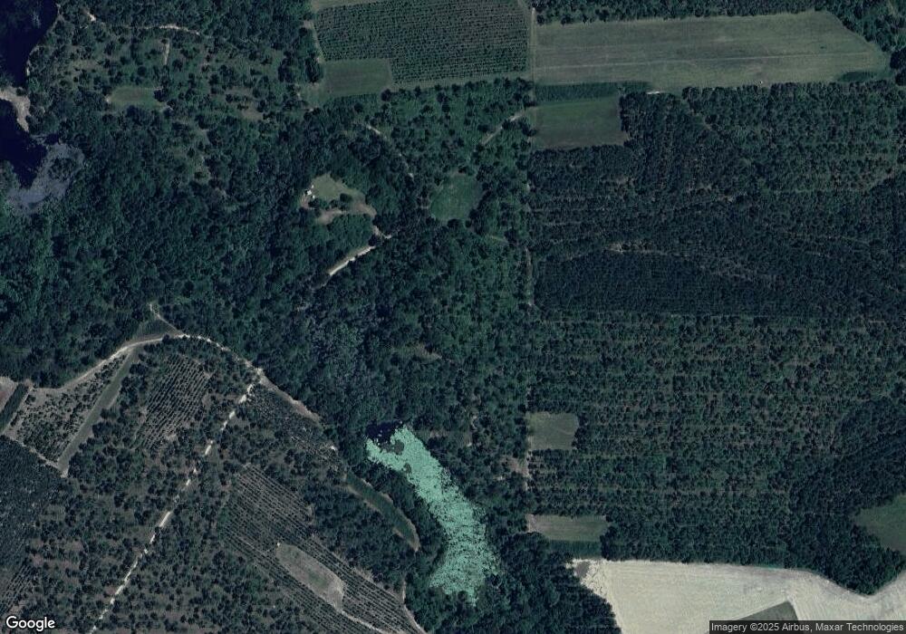
Map
Nearby Homes
- 479 Altamaha Rd
- 99 Joe Hester Rd
- 0 Old Graham Rd Unit 10649506
- 0 Old Graham Rd Unit 23843
- 000 Old Graham Rd
- 00 Old Graham Rd
- 0 Old Graham Rd Unit 10531283
- 3 Chestnut Rd
- 13 Chestnut Rd
- 152 Owl Head Trail
- 60 Ja Yawn Rd
- 28 Jackson Hill Rd
- 15 Jackson Hill Rd
- 95 E Plum St
- 142 N Tallahassee St
- 104 N Tallahassee St
- 00 N Tallahassee St
- 39 N Tallahassee St
- 10 W 1st Ave
- 20 W Sycamore St
- 496 Altamaha Rd
- 550 Altamaha Rd
- 423 Altamaha Rd
- 392 Altamaha Rd
- 54 Bill Thompson Rd
- 86 Carlton Reagin Rd
- 364 Altamaha Rd
- 60 Bill Thompson Rd
- 54 Edward Dean Rd
- 360 Altamaha Rd
- 88 Carlton Reagin Rd
- 369 Altamaha Rd
- 552 Altamaha Rd
- 358 Altamaha Rd
- 104 Carlton Reagin Rd
- 363 Altamaha Rd
- 45 Edward Dean Rd
- 541 Altamaha Rd
- 350 Altamaha Rd
- 475 Old Graham Rd