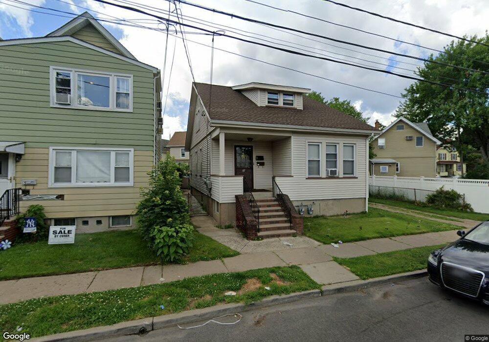
87 Bogart Ave Unit 1 Garfield, NJ 07026
Estimated Value: $464,000 - $713,000
2
Beds
1
Bath
1,834
Sq Ft
$320/Sq Ft
Est. Value
About This Home
This home is located at 87 Bogart Ave Unit 1, Garfield, NJ 07026 and is currently estimated at $587,018, approximately $320 per square foot. 87 Bogart Ave Unit 1 is a home located in Bergen County with nearby schools including Garfield High School and Bergen Arts and Sciences Charter School.
Ownership History
Date
Name
Owned For
Owner Type
Purchase Details
Closed on
Jan 6, 2021
Sold by
Joan Dennis
Bought by
Dennis Family Trust
Current Estimated Value
Purchase Details
Closed on
Jun 11, 2018
Sold by
Est Burgs Jane and Pritchard Ex Jane E
Bought by
Dennis Joan
Home Financials for this Owner
Home Financials are based on the most recent Mortgage that was taken out on this home.
Original Mortgage
$216,000
Interest Rate
4.5%
Mortgage Type
Purchase Money Mortgage
Create a Home Valuation Report for This Property
The Home Valuation Report is an in-depth analysis detailing your home's value as well as a comparison with similar homes in the area
Home Values in the Area
Average Home Value in this Area
Purchase History
| Date | Buyer | Sale Price | Title Company |
|---|---|---|---|
| Dennis Family Trust | -- | Macisaac Amy S | |
| Dennis Joan | $270,000 | -- |
Source: Public Records
Mortgage History
| Date | Status | Borrower | Loan Amount |
|---|---|---|---|
| Previous Owner | Dennis Joan | $216,000 |
Source: Public Records
Tax History Compared to Growth
Tax History
| Year | Tax Paid | Tax Assessment Tax Assessment Total Assessment is a certain percentage of the fair market value that is determined by local assessors to be the total taxable value of land and additions on the property. | Land | Improvement |
|---|---|---|---|---|
| 2025 | $8,339 | $249,900 | $85,200 | $164,700 |
| 2024 | $8,199 | $249,900 | $85,200 | $164,700 |
| 2023 | $7,794 | $249,900 | $85,200 | $164,700 |
| 2022 | $7,794 | $249,900 | $85,200 | $164,700 |
| 2021 | $7,567 | $249,900 | $85,200 | $164,700 |
| 2020 | $7,402 | $249,900 | $85,200 | $164,700 |
| 2019 | $6,524 | $224,500 | $85,200 | $139,300 |
| 2018 | $6,378 | $224,500 | $85,200 | $139,300 |
| 2017 | $6,266 | $224,500 | $85,200 | $139,300 |
| 2016 | $6,079 | $224,500 | $85,200 | $139,300 |
| 2015 | $5,679 | $224,500 | $85,200 | $139,300 |
| 2014 | $5,522 | $224,500 | $85,200 | $139,300 |
Source: Public Records
Map
Nearby Homes
- 87 Bogart Ave
- 87 Bogart Ave Unit 2
- 85 Bogart Ave
- 85 Bogart Ave Unit 2
- 83 Bogart Ave
- 50 Midland Ave
- 56 Midland Ave
- 48 Midland Ave
- 81 Bogart Ave Unit 2
- 81 Bogart Ave
- 46 Midland Ave
- 44 Midland Ave
- 97 Bogart Ave
- 97 Bogart Ave Unit 2
- 78 Bogart Ave
- 75 Bogart Ave
- 40 Midland Ave
- 74 Bogart Ave
- 74 Bogart Ave Unit 2 Fl
- 59 Midland Ave