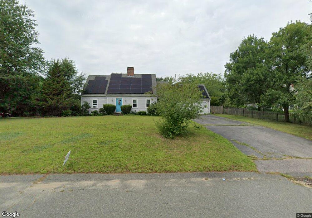
87 Brook Bend Rd Hanson, MA 02341
Estimated Value: $645,290 - $720,000
3
Beds
3
Baths
1,911
Sq Ft
$360/Sq Ft
Est. Value
About This Home
This home is located at 87 Brook Bend Rd, Hanson, MA 02341 and is currently estimated at $687,573, approximately $359 per square foot. 87 Brook Bend Rd is a home located in Plymouth County.
Ownership History
Date
Name
Owned For
Owner Type
Purchase Details
Closed on
May 21, 1990
Sold by
C & J Develop Co Inc
Bought by
Graves Timothy T
Current Estimated Value
Home Financials for this Owner
Home Financials are based on the most recent Mortgage that was taken out on this home.
Original Mortgage
$158,000
Interest Rate
10.14%
Mortgage Type
Purchase Money Mortgage
Create a Home Valuation Report for This Property
The Home Valuation Report is an in-depth analysis detailing your home's value as well as a comparison with similar homes in the area
Home Values in the Area
Average Home Value in this Area
Purchase History
| Date | Buyer | Sale Price | Title Company |
|---|---|---|---|
| Graves Timothy T | $187,500 | -- |
Source: Public Records
Mortgage History
| Date | Status | Borrower | Loan Amount |
|---|---|---|---|
| Closed | Graves Timothy T | $158,000 |
Source: Public Records
Tax History
| Year | Tax Paid | Tax Assessment Tax Assessment Total Assessment is a certain percentage of the fair market value that is determined by local assessors to be the total taxable value of land and additions on the property. | Land | Improvement |
|---|---|---|---|---|
| 2025 | $7,067 | $528,200 | $181,100 | $347,100 |
| 2024 | $6,930 | $517,900 | $175,900 | $342,000 |
| 2023 | $6,777 | $477,900 | $175,900 | $302,000 |
| 2022 | $6,561 | $434,800 | $159,900 | $274,900 |
| 2021 | $136 | $390,300 | $153,800 | $236,500 |
| 2020 | $183 | $380,300 | $148,500 | $231,800 |
| 2019 | $5,540 | $356,700 | $145,700 | $211,000 |
| 2018 | $5,433 | $343,200 | $140,100 | $203,100 |
| 2017 | $5,267 | $329,600 | $133,400 | $196,200 |
| 2016 | $5,316 | $321,200 | $133,400 | $187,800 |
| 2015 | $5,040 | $316,600 | $133,400 | $183,200 |
Source: Public Records
Map
Nearby Homes
- 430 Brook Bend Rd
- 339 State St
- 139 Fairwood Dr
- 108 Waterford Dr
- 26 Stonebridge Dr
- 161 Winter St Unit 11
- 127 Crescent Place
- Lot 5 Princeton Way
- 84 Liberty St
- 134 Crescent St
- 269 Lakeside Rd
- 724 Whitman St
- Lot 6 Way
- 95 Tecumseh Dr
- 114 Graham Hill Dr
- 51 Farmside Dr
- 361 County Rd
- 361A County Rd
- 17 Hayford Trail Unit 12
- 7 Hayford Trail Unit 12
- 109 Brook Bend Rd
- 84 Brook Bend Rd
- 4 Arrowhead Dr
- 52 Winter Terrace
- 100 Brook Bend Rd
- 38 Winter Terrace
- 125 Brook Bend Rd
- 66 Winter Terrace
- 60 Brook Bend Rd
- 112 Brook Bend Rd
- 16 Winter Terrace
- 131 Brook Bend Rd
- 84 Winter Terrace
- 41 Winter Terrace
- 128 Brook Bend Rd
- 59 Winter Terrace
- 29 Winter Terrace
- 21 Arrowhead Dr
- 98 Winter Terrace
- 22 Brook Bend Rd
Your Personal Tour Guide
Ask me questions while you tour the home.