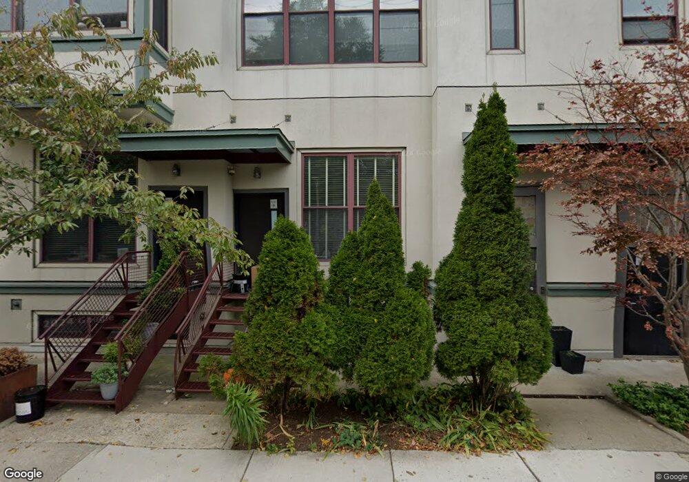
87 Brookside Ave Unit 89 Jamaica Plain, MA 02130
Jamaica Plain NeighborhoodEstimated Value: $694,000 - $960,000
1
Bed
3
Baths
1,387
Sq Ft
$601/Sq Ft
Est. Value
About This Home
This home is located at 87 Brookside Ave Unit 89, Jamaica Plain, MA 02130 and is currently estimated at $833,320, approximately $600 per square foot. 87 Brookside Ave Unit 89 is a home located in Suffolk County with nearby schools including Neighborhood School, Meridian Academy, and Nativity Preparatory School.
Ownership History
Date
Name
Owned For
Owner Type
Purchase Details
Closed on
Jun 23, 2008
Sold by
Sanchez Leon D
Bought by
Abmayr Jeanne L
Current Estimated Value
Home Financials for this Owner
Home Financials are based on the most recent Mortgage that was taken out on this home.
Original Mortgage
$320,000
Outstanding Balance
$205,867
Interest Rate
6.1%
Mortgage Type
Purchase Money Mortgage
Estimated Equity
$627,453
Create a Home Valuation Report for This Property
The Home Valuation Report is an in-depth analysis detailing your home's value as well as a comparison with similar homes in the area
Home Values in the Area
Average Home Value in this Area
Purchase History
| Date | Buyer | Sale Price | Title Company |
|---|---|---|---|
| Abmayr Jeanne L | $426,000 | -- | |
| Abmayr Jeanne L | $426,000 | -- |
Source: Public Records
Mortgage History
| Date | Status | Borrower | Loan Amount |
|---|---|---|---|
| Open | Abmayr Jeanne L | $320,000 | |
| Closed | Abmayr Jeanne L | $320,000 |
Source: Public Records
Tax History Compared to Growth
Tax History
| Year | Tax Paid | Tax Assessment Tax Assessment Total Assessment is a certain percentage of the fair market value that is determined by local assessors to be the total taxable value of land and additions on the property. | Land | Improvement |
|---|---|---|---|---|
| 2025 | $8,136 | $702,600 | $0 | $702,600 |
| 2024 | $7,668 | $703,500 | $0 | $703,500 |
| 2023 | $7,194 | $669,800 | $0 | $669,800 |
| 2022 | $6,875 | $631,900 | $0 | $631,900 |
| 2021 | $6,347 | $594,800 | $0 | $594,800 |
| 2020 | $5,883 | $557,100 | $0 | $557,100 |
| 2019 | $6,102 | $578,900 | $0 | $578,900 |
| 2018 | $5,890 | $562,000 | $0 | $562,000 |
| 2017 | $5,616 | $530,300 | $0 | $530,300 |
| 2016 | $5,452 | $495,600 | $0 | $495,600 |
| 2015 | $5,476 | $452,200 | $0 | $452,200 |
| 2014 | $5,365 | $426,500 | $0 | $426,500 |
Source: Public Records
Map
Nearby Homes
- 3305 Washington St Unit 201
- 172 Green St Unit 1
- 10 Forest Hills St Unit 1
- 285 Lamartine St Unit 2
- 285 Lamartine St
- 10 Olmstead St Unit 1
- 58 Forest Hills St Unit 2
- 111-121 Green St Unit 301
- 172 Boylston St Unit 3
- 7 Segel St Unit 2
- 43 Iffley Rd
- 196 Chestnut Ave Unit I
- 44 Robeson St Unit 44A
- 25 Chilcott Place Unit 1
- 20 Chilcott Place
- 27 Chilcott Place Unit 2
- 110 School St Unit 2
- 193 Lamartine St Unit 4
- 3417 Washington St Unit 2
- 66 Seaverns Ave Unit 68B
- 87 Brookside Ave Unit 89
- 87 Brookside Ave Unit 89
- 87 Brookside Ave Unit 89
- 87 Brookside Ave Unit 89
- 87 Brookside Ave Unit 89
- 87 Brookside Ave Unit 89
- 87 Brookside Ave Unit C
- 87-89 Brookside Ave Unit B
- 87-89 Brookside Ave Unit C, 87-89
- 87-89 Brookside Ave Unit C
- 87-89 Brookside Ave Unit F
- 87-89 Brookside Ave Unit G
- 68 Cornwall St Unit C
- 68 Cornwall St
- 93 Brookside Ave
- 83 Brookside Ave Unit G
- 83 Brookside Ave Unit C
- 83 Brookside Ave Unit B
- 83 Brookside Ave Unit 85
- 83 Brookside Ave Unit 85