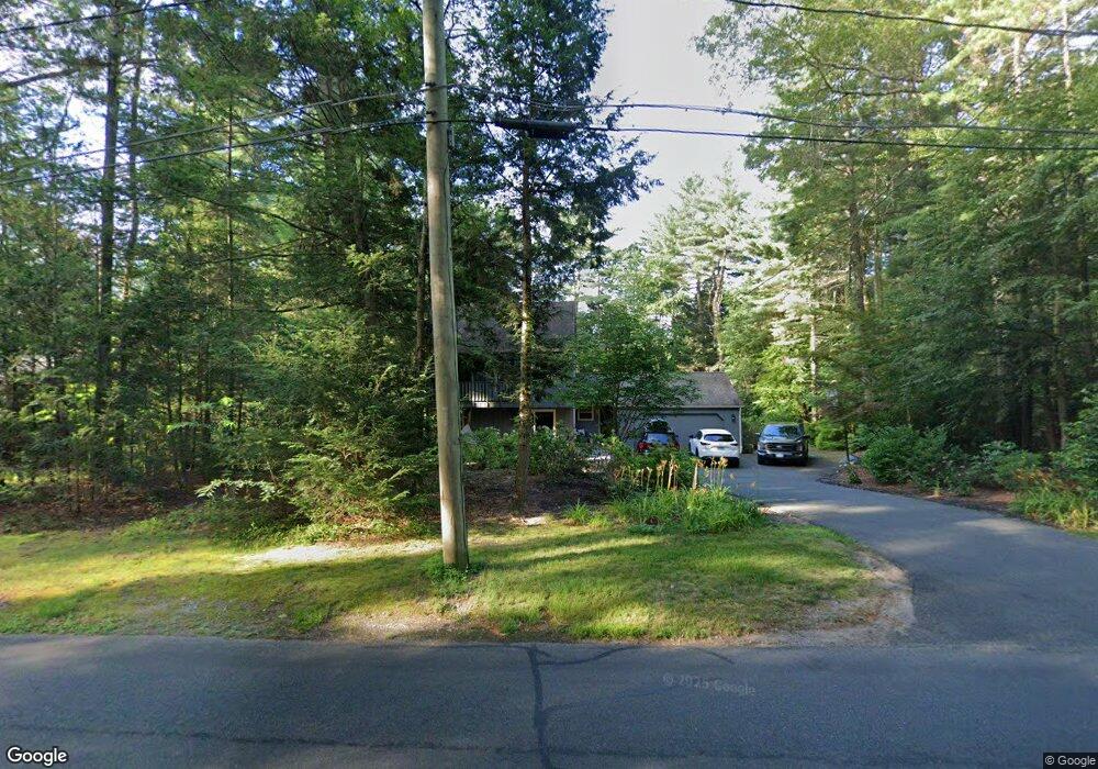
87 Buttles Rd Granby, CT 06035
Estimated Value: $485,018 - $515,000
3
Beds
3
Baths
1,967
Sq Ft
$253/Sq Ft
Est. Value
About This Home
This home is located at 87 Buttles Rd, Granby, CT 06035 and is currently estimated at $497,005, approximately $252 per square foot. 87 Buttles Rd is a home located in Hartford County with nearby schools including Kelly Lane Primary School, Granby Memorial Middle School, and Granby Memorial High School.
Ownership History
Date
Name
Owned For
Owner Type
Purchase Details
Closed on
Jan 20, 2004
Sold by
Doolittle James and Doolittle Karen
Bought by
Lundin Mack
Current Estimated Value
Home Financials for this Owner
Home Financials are based on the most recent Mortgage that was taken out on this home.
Original Mortgage
$206,400
Interest Rate
5.98%
Mortgage Type
Purchase Money Mortgage
Purchase Details
Closed on
Nov 10, 2003
Sold by
Doherty Lisa
Bought by
Doolittle James and Doolittle Karen
Purchase Details
Closed on
Dec 23, 2002
Sold by
T & M Building Co
Bought by
Cranston Jeffrey and Cranston Dolores
Purchase Details
Closed on
Dec 31, 1997
Sold by
Malki Inc
Bought by
Doolittle James and Doolittle Karen
Create a Home Valuation Report for This Property
The Home Valuation Report is an in-depth analysis detailing your home's value as well as a comparison with similar homes in the area
Home Values in the Area
Average Home Value in this Area
Purchase History
| Date | Buyer | Sale Price | Title Company |
|---|---|---|---|
| Lundin Mack | $258,000 | -- | |
| Lundin Mack | $258,000 | -- | |
| Doolittle James | $320,000 | -- | |
| Doolittle James | $320,000 | -- | |
| Cranston Jeffrey | $308,152 | -- | |
| Doolittle James | $140,800 | -- | |
| Doolittle James | $140,800 | -- |
Source: Public Records
Mortgage History
| Date | Status | Borrower | Loan Amount |
|---|---|---|---|
| Open | Doolittle James | $212,000 | |
| Closed | Doolittle James | $206,400 |
Source: Public Records
Tax History
| Year | Tax Paid | Tax Assessment Tax Assessment Total Assessment is a certain percentage of the fair market value that is determined by local assessors to be the total taxable value of land and additions on the property. | Land | Improvement |
|---|---|---|---|---|
| 2025 | $8,082 | $236,250 | $48,650 | $187,600 |
| 2024 | $7,827 | $236,250 | $48,650 | $187,600 |
| 2023 | $7,534 | $236,250 | $48,650 | $187,600 |
| 2022 | $7,204 | $180,180 | $42,000 | $138,180 |
| 2021 | $7,137 | $180,180 | $42,000 | $138,180 |
| 2020 | $7,073 | $178,570 | $42,000 | $136,570 |
| 2019 | $7,073 | $178,570 | $42,000 | $136,570 |
| 2018 | $6,909 | $178,570 | $42,000 | $136,570 |
| 2017 | $6,794 | $179,060 | $42,000 | $137,060 |
| 2016 | $6,614 | $179,060 | $42,000 | $137,060 |
| 2015 | $6,265 | $172,970 | $42,000 | $130,970 |
| 2014 | $6,141 | $172,900 | $42,000 | $130,900 |
Source: Public Records
Map
Nearby Homes
- 15 Winhart Dr
- 23 Chatsworth Rd
- 59 Hunt Glen Dr Unit 59
- 79 Cambridge Ct
- 59 Cambridge Ct
- 5 Arrowwood Ct
- 324 Old Farms Rd
- 42 Holcomb St
- 30 W Point Terrace
- 14 Main Street Extension
- 4 Lewis St
- 12 Lewis St
- 22 Old Hartford Ave Unit 22
- 125 Firetown Rd
- 60 Barry Ln
- 31 Oxford Ct
- 41 E Granby Rd
- 9 Barry Ln
- 90 Seminary Rd
- 12 The Glade
Your Personal Tour Guide
Ask me questions while you tour the home.