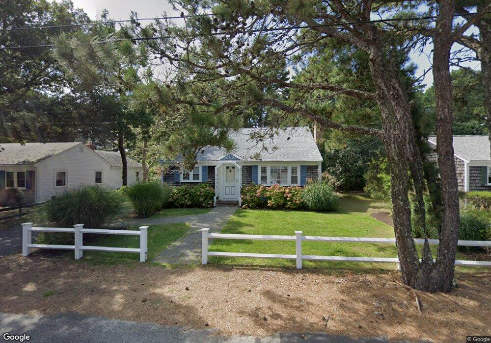
87 Captain Chase Rd Dennis Port, MA 02639
Dennis Port NeighborhoodEstimated Value: $580,000 - $732,150
4
Beds
1
Bath
1,201
Sq Ft
$567/Sq Ft
Est. Value
About This Home
This home is located at 87 Captain Chase Rd, Dennis Port, MA 02639 and is currently estimated at $681,538, approximately $567 per square foot. 87 Captain Chase Rd is a home located in Barnstable County with nearby schools including Dennis-Yarmouth Regional High School and St. Pius X. School.
Ownership History
Date
Name
Owned For
Owner Type
Purchase Details
Closed on
Dec 22, 2009
Sold by
Anderson Stephen G
Bought by
Landy Nancy M
Current Estimated Value
Purchase Details
Closed on
Apr 5, 1999
Sold by
Mebus Robert J and Mebus Marsha E
Bought by
Landy Nancy M and Anderson Stephen G
Home Financials for this Owner
Home Financials are based on the most recent Mortgage that was taken out on this home.
Original Mortgage
$60,000
Interest Rate
6.78%
Mortgage Type
Purchase Money Mortgage
Create a Home Valuation Report for This Property
The Home Valuation Report is an in-depth analysis detailing your home's value as well as a comparison with similar homes in the area
Home Values in the Area
Average Home Value in this Area
Purchase History
| Date | Buyer | Sale Price | Title Company |
|---|---|---|---|
| Landy Nancy M | $50,000 | -- | |
| Landy Nancy M | $50,000 | -- | |
| Landy Nancy M | $145,500 | -- | |
| Landy Nancy M | $145,500 | -- |
Source: Public Records
Mortgage History
| Date | Status | Borrower | Loan Amount |
|---|---|---|---|
| Previous Owner | Landy Nancy M | $60,000 | |
| Previous Owner | Landy Nancy M | $60,000 |
Source: Public Records
Tax History Compared to Growth
Tax History
| Year | Tax Paid | Tax Assessment Tax Assessment Total Assessment is a certain percentage of the fair market value that is determined by local assessors to be the total taxable value of land and additions on the property. | Land | Improvement |
|---|---|---|---|---|
| 2025 | $2,641 | $610,000 | $193,500 | $416,500 |
| 2024 | $2,551 | $581,100 | $186,100 | $395,000 |
| 2023 | $2,467 | $528,300 | $169,200 | $359,100 |
| 2022 | $2,348 | $419,200 | $152,400 | $266,800 |
| 2021 | $6,124 | $382,300 | $170,800 | $211,500 |
| 2020 | $5,535 | $348,700 | $149,400 | $199,300 |
| 2019 | $6,310 | $326,500 | $146,500 | $180,000 |
| 2018 | $2,035 | $311,600 | $139,500 | $172,100 |
| 2017 | $1,835 | $298,400 | $129,500 | $168,900 |
| 2016 | $1,843 | $282,200 | $139,500 | $142,700 |
| 2015 | $1,806 | $282,200 | $139,500 | $142,700 |
| 2014 | $1,629 | $256,500 | $119,500 | $137,000 |
Source: Public Records
Map
Nearby Homes
- 31 Easy St
- 80 Michaels Ave
- 22 Wixon Rd
- 37 Ocean Dr Unit 2
- 64 Beaten Rd
- 19 Standish Way
- 37 Beach Hills Rd
- 154 Old Wharf Rd Unit 26
- 154 Old Wharf Rd Unit 14
- 262 Old Wharf Rd Unit 67
- 262 Old Wharf Rd Unit 5
- 262 Old Wharf Rd Unit 5
- 262 Old Wharf Rd Unit 20
- 262 Old Wharf Rd Unit 87
- 37-A Beach Hills Rd
- 112 Old Wharf Rd Unit E4
- 112 Old Wharf Rd Unit E1
- 217 Old Wharf Rd Unit 64
- 241 Old Wharf Rd Unit 82
- 241 Old Wharf Rd Unit 127
- 91 Captain Chase Rd
- 85 Captain Chase Rd
- 9 Uncle Ezras Path
- 81 Captain Chase Rd
- 93 Captain Chase Rd
- 13 Uncle Ezras Path
- 17 Uncle Ezras Path
- 97 Captain Chase Rd
- 79 Captain Chase Rd
- 16 Uncle Ezras Path
- 12 Uncle Ezras Path
- 96 Captain Chase Rd
- 19 Uncle Ezras Path
- 75 Captain Chase Rd
- 99 Captain Chase Rd
- 99 Captain Chase Rd
- 8 Uncle Ezras Path
- 93 Siasconset Ave
- 95 Siasconset Ave
- 9 Lorree Ln