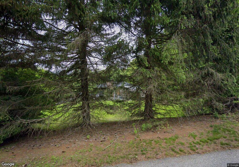
87 Cooktown Rd Preston, CT 06365
Estimated Value: $612,000 - $802,000
5
Beds
6
Baths
2,840
Sq Ft
$238/Sq Ft
Est. Value
About This Home
This home is located at 87 Cooktown Rd, Preston, CT 06365 and is currently estimated at $676,179, approximately $238 per square foot. 87 Cooktown Rd is a home located in New London County.
Ownership History
Date
Name
Owned For
Owner Type
Purchase Details
Closed on
Oct 7, 2014
Sold by
Merle William J Est
Bought by
Hicks Jason R and Hicks Krista K
Current Estimated Value
Home Financials for this Owner
Home Financials are based on the most recent Mortgage that was taken out on this home.
Original Mortgage
$200,000
Outstanding Balance
$152,943
Interest Rate
4.11%
Mortgage Type
New Conventional
Estimated Equity
$523,236
Purchase Details
Closed on
Mar 14, 2003
Sold by
Merle John and Merle Delores
Bought by
Merle William
Purchase Details
Closed on
Nov 17, 1999
Sold by
Tinturin Charles
Bought by
Merle John and Merle Dolores
Create a Home Valuation Report for This Property
The Home Valuation Report is an in-depth analysis detailing your home's value as well as a comparison with similar homes in the area
Home Values in the Area
Average Home Value in this Area
Purchase History
| Date | Buyer | Sale Price | Title Company |
|---|---|---|---|
| Hicks Jason R | $250,000 | -- | |
| Merle William | $350,000 | -- | |
| Merle John | $350,000 | -- |
Source: Public Records
Mortgage History
| Date | Status | Borrower | Loan Amount |
|---|---|---|---|
| Open | Merle John | $200,000 |
Source: Public Records
Tax History
| Year | Tax Paid | Tax Assessment Tax Assessment Total Assessment is a certain percentage of the fair market value that is determined by local assessors to be the total taxable value of land and additions on the property. | Land | Improvement |
|---|---|---|---|---|
| 2025 | $9,613 | $382,830 | $70,910 | $311,920 |
| 2024 | $8,947 | $382,830 | $70,910 | $311,920 |
| 2023 | $8,786 | $382,830 | $70,910 | $311,920 |
| 2022 | $7,226 | $259,200 | $65,400 | $193,800 |
| 2021 | $6,983 | $259,200 | $65,400 | $193,800 |
| 2020 | $6,972 | $259,200 | $65,400 | $193,800 |
| 2019 | $6,851 | $259,200 | $65,400 | $193,800 |
| 2018 | $6,747 | $259,200 | $65,400 | $193,800 |
| 2017 | $6,600 | $275,000 | $65,400 | $209,600 |
| 2016 | $6,531 | $275,000 | $65,400 | $209,600 |
| 2015 | $6,325 | $275,000 | $65,400 | $209,600 |
| 2014 | $6,364 | $275,000 | $65,400 | $209,600 |
Source: Public Records
Map
Nearby Homes
- 6 Lake of Isles Rd
- 4 Lake of Isles Rd
- 121 Watson Rd
- 381 Route 2
- 0 Lake of Isles Rd Unit 170371521
- 991 Shewville Rd
- 31 Branch Hill Rd
- 36 NW Corner Rd
- 57 NW Corner Rd
- 55A Anna Farm Rd W
- 16 Abbey Rd
- 14 Abbey Rd
- 25 Coachman Pike
- 717 Norwich Westerly Rd
- 381 Route 164
- 15 Paster Rd
- 32 Krug Rd
- 36 Route 2a
- 104 Route 2a
- 179 Cossaduck Hill Rd
- 81 Cooktown Rd
- 94 Cooktown Rd
- 80 Cooktown Rd
- 82 Cooktown Rd
- 92 Cooktown Rd
- 78 Cooktown Rd
- 98 Cooktown Rd
- 79 Cooktown Rd
- 100 Cooktown Rd
- Lot #2 Cooktown Rd
- 77 Cooktown Rd
- 104 Cooktown Rd
- 97 Watson Rd
- 107 Cooktown Rd
- 95 Watson Rd
- 102 Cooktown Rd
- 79 Watson Rd
- 108 Cooktown Rd
- 68 Cooktown Rd
- 113 Watson Rd
Your Personal Tour Guide
Ask me questions while you tour the home.