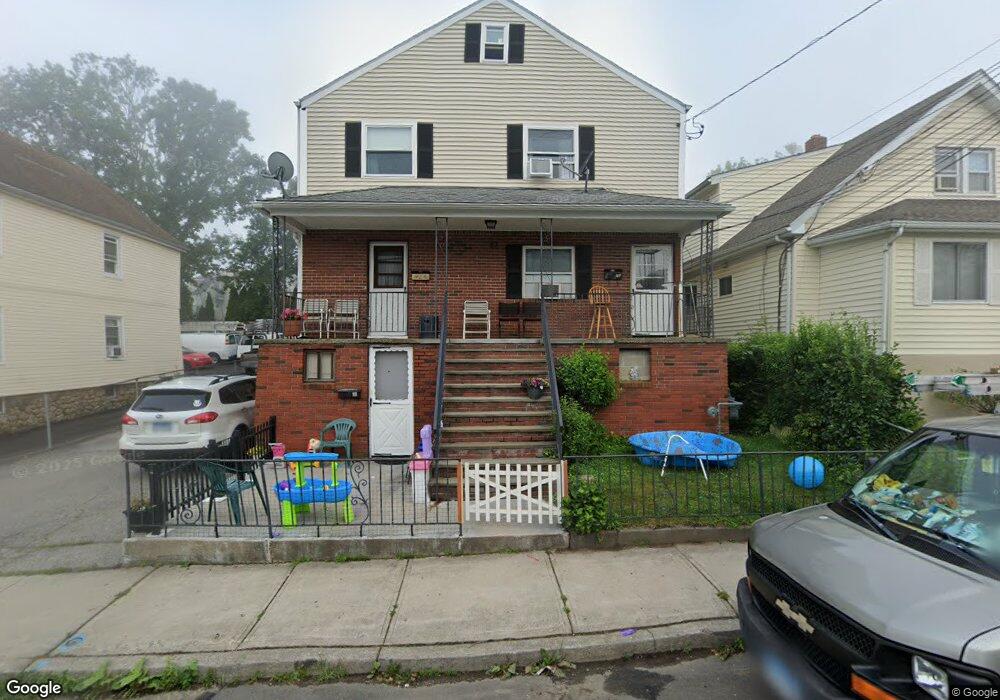
87 Dean St Stamford, CT 06902
The Cove NeighborhoodEstimated Value: $875,000 - $1,077,000
4
Beds
3
Baths
2,472
Sq Ft
$385/Sq Ft
Est. Value
About This Home
This home is located at 87 Dean St, Stamford, CT 06902 and is currently estimated at $952,667, approximately $385 per square foot. 87 Dean St is a home located in Fairfield County with nearby schools including K. T. Murphy Elementary School, Rippowam Middle School, and Stamford High School.
Ownership History
Date
Name
Owned For
Owner Type
Purchase Details
Closed on
Apr 16, 2015
Sold by
Guarnieri Frank and Guarnieri Anna M
Bought by
Guarnieri
Current Estimated Value
Purchase Details
Closed on
Apr 2, 1963
Bought by
Guarnier Frank and Guarnier Anna Maria
Create a Home Valuation Report for This Property
The Home Valuation Report is an in-depth analysis detailing your home's value as well as a comparison with similar homes in the area
Home Values in the Area
Average Home Value in this Area
Purchase History
| Date | Buyer | Sale Price | Title Company |
|---|---|---|---|
| Guarnieri | -- | -- | |
| Guarnieri | -- | -- | |
| Guarnier Frank | -- | -- |
Source: Public Records
Mortgage History
| Date | Status | Borrower | Loan Amount |
|---|---|---|---|
| Previous Owner | Guarnier Frank | $236,600 | |
| Previous Owner | Guarnier Frank | $235,000 | |
| Previous Owner | Guarnier Frank | $20,000 | |
| Previous Owner | Guarnier Frank | $100,000 |
Source: Public Records
Tax History Compared to Growth
Tax History
| Year | Tax Paid | Tax Assessment Tax Assessment Total Assessment is a certain percentage of the fair market value that is determined by local assessors to be the total taxable value of land and additions on the property. | Land | Improvement |
|---|---|---|---|---|
| 2025 | $10,656 | $445,470 | $206,460 | $239,010 |
| 2024 | $10,406 | $445,470 | $206,460 | $239,010 |
| 2023 | $11,244 | $445,470 | $206,460 | $239,010 |
| 2022 | $9,045 | $332,890 | $149,630 | $183,260 |
| 2021 | $8,968 | $332,890 | $149,630 | $183,260 |
| 2020 | $8,772 | $332,890 | $149,630 | $183,260 |
| 2019 | $8,772 | $332,890 | $149,630 | $183,260 |
| 2018 | $8,499 | $332,890 | $149,630 | $183,260 |
| 2017 | $6,944 | $258,240 | $122,630 | $135,610 |
| 2016 | $6,745 | $258,240 | $122,630 | $135,610 |
| 2015 | $6,567 | $258,240 | $122,630 | $135,610 |
| 2014 | -- | $258,240 | $122,630 | $135,610 |
Source: Public Records
Map
Nearby Homes
- 55 Avery St
- 15 Robin St
- 3 Dean St Unit B2
- 737 Cove Rd Unit D2
- 697 Cove Rd Unit 1E
- 697 Cove Rd Unit 2A
- 33 Dora St
- 31 Wascussee Ln Unit 65
- 28 Aquila Rd
- 209 Seaside Ave Unit 2
- 214 Seaside Ave
- 214 Seaside Ave Unit 2
- 114 Sylvan Knoll Rd
- 16 Neponsit St
- 421 Sylvan Knoll Rd
- 86 Wallacks Dr
- 274 Sylvan Knoll Rd
- 171 Sylvan Knoll Rd
- 203 Sylvan Knoll Rd
- 120 Webb Ave