87 Dockside Ln Unit 4 Belfast, ME 04915
Estimated Value: $543,625 - $615,000
2
Beds
2
Baths
1,270
Sq Ft
$455/Sq Ft
Est. Value
About This Home
This home is located at 87 Dockside Ln Unit 4, Belfast, ME 04915 and is currently estimated at $578,406, approximately $455 per square foot. 87 Dockside Ln Unit 4 is a home located in Waldo County with nearby schools including Cornerspring Children's House and The School At Sweetser - Belfast.
Ownership History
Date
Name
Owned For
Owner Type
Purchase Details
Closed on
Aug 13, 2007
Sold by
Cleveland Arthur B
Bought by
Kimball Phillip R and Kimball Janet A
Current Estimated Value
Home Financials for this Owner
Home Financials are based on the most recent Mortgage that was taken out on this home.
Original Mortgage
$275,000
Outstanding Balance
$171,422
Interest Rate
6.72%
Mortgage Type
Commercial
Estimated Equity
$406,984
Create a Home Valuation Report for This Property
The Home Valuation Report is an in-depth analysis detailing your home's value as well as a comparison with similar homes in the area
Home Values in the Area
Average Home Value in this Area
Purchase History
| Date | Buyer | Sale Price | Title Company |
|---|---|---|---|
| Kimball Phillip R | -- | -- |
Source: Public Records
Mortgage History
| Date | Status | Borrower | Loan Amount |
|---|---|---|---|
| Open | Kimball Phillip R | $275,000 |
Source: Public Records
Tax History
| Year | Tax Paid | Tax Assessment Tax Assessment Total Assessment is a certain percentage of the fair market value that is determined by local assessors to be the total taxable value of land and additions on the property. | Land | Improvement |
|---|---|---|---|---|
| 2025 | $7,923 | $484,900 | $100,000 | $384,900 |
| 2024 | $6,510 | $422,700 | $100,000 | $322,700 |
| 2023 | $4,661 | $231,900 | $35,000 | $196,900 |
| 2022 | $4,717 | $220,400 | $35,000 | $185,400 |
| 2021 | $4,849 | $220,400 | $35,000 | $185,400 |
| 2020 | $4,690 | $201,300 | $35,000 | $166,300 |
| 2019 | $4,580 | $200,000 | $35,000 | $165,000 |
| 2018 | $4,540 | $200,000 | $35,000 | $165,000 |
| 2017 | $4,380 | $200,000 | $35,000 | $165,000 |
| 2016 | $4,580 | $200,000 | $35,000 | $165,000 |
| 2015 | $4,480 | $200,000 | $35,000 | $165,000 |
| 2014 | $4,330 | $200,000 | $35,000 | $165,000 |
| 2013 | $4,472 | $215,000 | $50,000 | $165,000 |
Source: Public Records
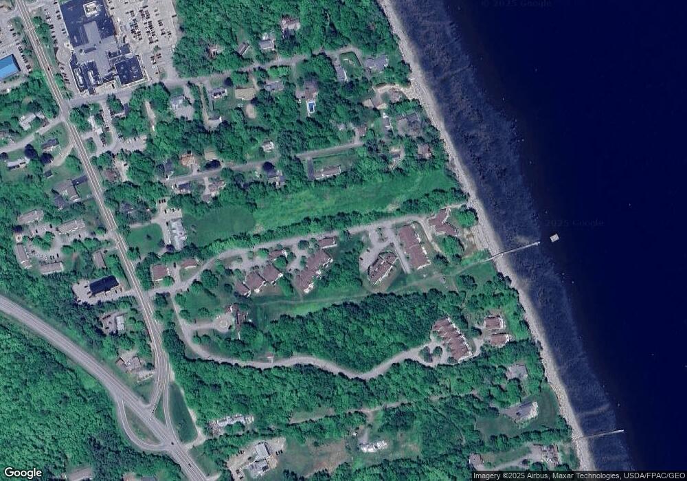
Map
Nearby Homes
- 99 Dockside Ln Unit 99
- 192 Northport Ave
- 19 Glenview Ln
- 3 Kerry Gardens Unit 25
- 17 R W MacLeod Ln
- 11 Durham St
- 4 R W MacLeod Ln
- 16 Cottage St
- 41 Grove St
- 68 Park St
- 78 High St
- 27 Court St Unit 1
- 5 Whitetail St
- 6 Whitetail St
- 3 Porter Rd
- 9 James St
- 183 Main St
- 18 Waldo Ave
- 53 Lincolnville Ave
- L 58 Part Horse Jockey Ln
- 87 Dockside Ln
- 89 Dockside Ln
- 71 Dockside Ln
- 73 Dockside Ln
- 75 Dockside Ln
- 73 Dockside Ln Unit 21
- 71 Dockside Ln Unit 20
- 87 Dockside Ln Unit 7
- 73 Dockside Ln Unit 20
- 89 Dockside Ln Unit 6
- 71 Dockside Ln Unit 21
- 69 Dockside Ln
- 91 Dockside Ln
- 93 Dockside Ln
- 93 Dockside Ln Unit 93
- 93 Dockside Ln Unit 4
- 97 Dockside Ln
- 97 Dockside Ln Unit 97
- 99 Dockside Ln
- 99 Dockside Ln Unit 9
Your Personal Tour Guide
Ask me questions while you tour the home.