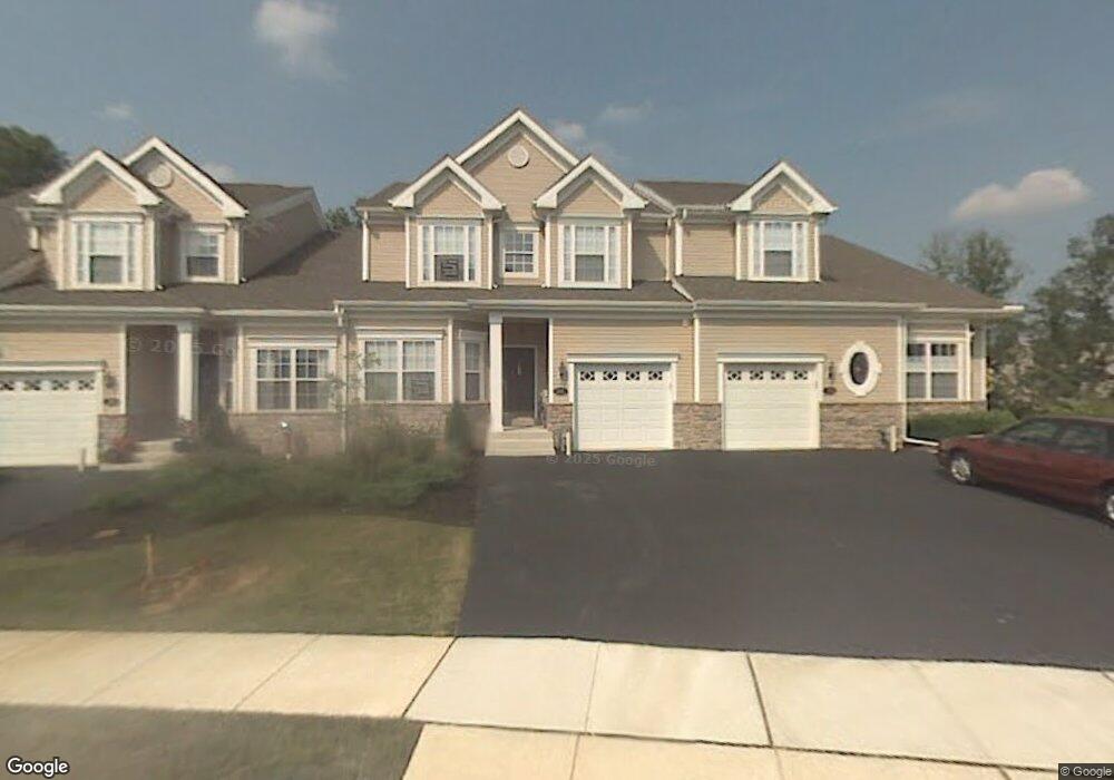
87 Dresner Cir Upper Chichester, PA 19061
Upper Chichester Township NeighborhoodEstimated Value: $420,000 - $453,000
2
Beds
3
Baths
2,101
Sq Ft
$208/Sq Ft
Est. Value
About This Home
This home is located at 87 Dresner Cir, Upper Chichester, PA 19061 and is currently estimated at $436,426, approximately $207 per square foot. 87 Dresner Cir is a home located in Delaware County with nearby schools including Chichester Senior High School and Concord Christian Academy.
Ownership History
Date
Name
Owned For
Owner Type
Purchase Details
Closed on
May 20, 2005
Sold by
Deluca Enterprises Inc
Bought by
Dauria Edward J and Dauria Dolores M
Current Estimated Value
Home Financials for this Owner
Home Financials are based on the most recent Mortgage that was taken out on this home.
Original Mortgage
$160,000
Outstanding Balance
$83,960
Interest Rate
5.94%
Mortgage Type
Stand Alone First
Estimated Equity
$352,466
Create a Home Valuation Report for This Property
The Home Valuation Report is an in-depth analysis detailing your home's value as well as a comparison with similar homes in the area
Home Values in the Area
Average Home Value in this Area
Purchase History
| Date | Buyer | Sale Price | Title Company |
|---|---|---|---|
| Dauria Edward J | $276,451 | Commonwealth Title |
Source: Public Records
Mortgage History
| Date | Status | Borrower | Loan Amount |
|---|---|---|---|
| Open | Dauria Edward J | $160,000 |
Source: Public Records
Tax History Compared to Growth
Tax History
| Year | Tax Paid | Tax Assessment Tax Assessment Total Assessment is a certain percentage of the fair market value that is determined by local assessors to be the total taxable value of land and additions on the property. | Land | Improvement |
|---|---|---|---|---|
| 2025 | $9,095 | $273,750 | $69,320 | $204,430 |
| 2024 | $9,095 | $273,750 | $69,320 | $204,430 |
| 2023 | $8,804 | $273,750 | $69,320 | $204,430 |
| 2022 | $8,589 | $273,750 | $69,320 | $204,430 |
| 2021 | $12,808 | $273,750 | $69,320 | $204,430 |
| 2020 | $7,121 | $141,240 | $141,240 | $0 |
| 2019 | $7,121 | $141,240 | $141,240 | $0 |
| 2018 | $7,141 | $141,240 | $0 | $0 |
| 2017 | $7,085 | $141,240 | $0 | $0 |
| 2016 | $775 | $141,240 | $0 | $0 |
| 2015 | $791 | $141,240 | $0 | $0 |
| 2014 | $775 | $141,240 | $0 | $0 |
Source: Public Records
Map
Nearby Homes
- 71 Dresner Cir
- 34 Dresner Cir
- 5000 Village Way Unit 5102
- 6000 Village Way Unit 6304
- 7000 Village Way Unit 207
- 9 Corbett Dr
- 4001 Fox Mill Dr
- 1809 Galey St
- 2575 W Colonial Dr
- 2648 Ogden Ave
- 4012 Greenwood Ave
- 4605 Bethel Rd
- 1687 O'Day Ln
- 2606 9th Ave
- 1707 Peach St
- 33 Mulberry St
- 27702 Valley Run Dr
- 27303 Valley Run Dr Unit 303
- 27208 Valley Run Dr Unit 208
- 1676 Larkin Rd