87 E Harbor Dr Teaticket, MA 02536
Teaticket NeighborhoodEstimated Value: $758,470
About This Home
This home is located at 87 E Harbor Dr, Teaticket, MA 02536 and is currently priced at $758,470, approximately $790 per square foot. 87 E Harbor Dr is a home located in Barnstable County.
Ownership History
We collect this data history from publicly available records. To have your information removed, we recommend requesting removal directly through your county’s website.
Purchase Details
Purchase Details
Home Values in the Area
Average Home Value in this Area
Purchase History
We collect this data history from publicly available records. To have your information removed, we recommend requesting removal directly through your county’s website.
| Date | Buyer | Sale Price | Title Company |
|---|---|---|---|
| $300,000 | -- | ||
| $199,900 | -- |
Mortgage History
We collect this data history from publicly available records. To have your information removed, we recommend requesting removal directly through your county’s website.
| Date | Status | Borrower | Loan Amount |
|---|---|---|---|
| Open | $227,500 | ||
| Previous Owner | $155,600 | ||
| Previous Owner | $158,738 |
Tax History
We collect this data history from publicly available records. To have your information removed, we recommend requesting removal directly through your county’s website.
| Year | Tax Paid | Tax Assessment Tax Assessment Total Assessment is a certain percentage of the fair market value that is determined by local assessors to be the total taxable value of land and additions on the property. | Land | Improvement |
|---|---|---|---|---|
| 2025 | $3,669 | $625,000 | $164,300 | $460,700 |
| 2024 | $3,576 | $569,400 | $149,300 | $420,100 |
| 2023 | $3,544 | $512,100 | $149,300 | $362,800 |
| 2022 | $3,277 | $407,100 | $114,700 | $292,400 |
| 2021 | $3,133 | $368,600 | $109,700 | $258,900 |
| 2020 | $3,080 | $358,600 | $99,700 | $258,900 |
| 2019 | $3,018 | $352,600 | $99,700 | $252,900 |
| 2018 | $2,897 | $336,900 | $99,700 | $237,200 |
| 2017 | $2,345 | $274,900 | $99,700 | $175,200 |
| 2016 | $2,229 | $266,300 | $99,700 | $166,600 |
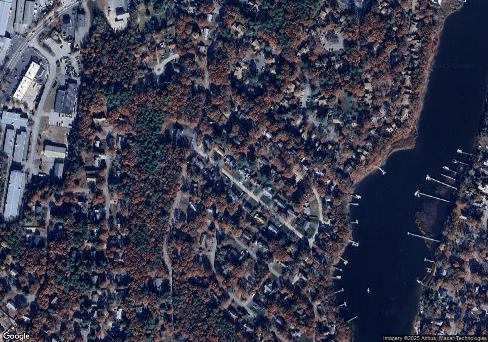
Map
- 241 Seaward Bend Unit 241
- 9 E Harbor Cir
- 234 Seaward Bend Unit 234
- 234 Seaward Bend
- 90 Forest Glade Unit 90
- 0 Juliannas Way
- 17 Suncrest Dr
- 41 Avalon Dr
- 14 Saint Anns Ln
- 14 Saint Anns Ln
- Lot 3 Sailaway Ln
- 41 Avalon Dr
- 12 Oxbow Rd
- Lot 6 Sailaway Ln
- 140 Broken Bow Ln
- 87 Acapesket Rd Unit 3A
- 87 Acapesket Rd Unit 3B
- 87 Acapesket Rd Unit 2A
- 87 Acapesket Rd Unit 4B
- 87 Acapesket Rd Unit 2B
Ask me questions while you tour the home.