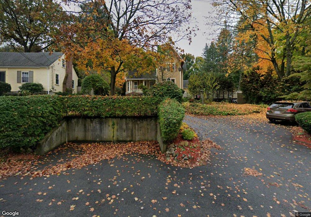
87 Elm St Wakefield, MA 01880
West Side NeighborhoodEstimated Value: $888,000 - $973,332
5
Beds
2
Baths
2,680
Sq Ft
$346/Sq Ft
Est. Value
About This Home
This home is located at 87 Elm St, Wakefield, MA 01880 and is currently estimated at $928,083, approximately $346 per square foot. 87 Elm St is a home located in Middlesex County with nearby schools including Wakefield Memorial High School and St Joseph School.
Ownership History
Date
Name
Owned For
Owner Type
Purchase Details
Closed on
Jun 26, 2025
Sold by
Townsend Dawn
Bought by
Townsend Mark
Current Estimated Value
Purchase Details
Closed on
Nov 22, 2006
Sold by
Townshend Rt and Townshend
Bought by
Townshend Mark C and Townshend Dawn
Home Financials for this Owner
Home Financials are based on the most recent Mortgage that was taken out on this home.
Original Mortgage
$310,000
Interest Rate
6.39%
Mortgage Type
Purchase Money Mortgage
Create a Home Valuation Report for This Property
The Home Valuation Report is an in-depth analysis detailing your home's value as well as a comparison with similar homes in the area
Home Values in the Area
Average Home Value in this Area
Purchase History
| Date | Buyer | Sale Price | Title Company |
|---|---|---|---|
| Townsend Mark | -- | -- | |
| Townsend Mark | -- | -- | |
| Townshend Mark C | $430,000 | -- | |
| Townshend Mark C | $430,000 | -- |
Source: Public Records
Mortgage History
| Date | Status | Borrower | Loan Amount |
|---|---|---|---|
| Previous Owner | Townshend Mark C | $297,000 | |
| Previous Owner | Townshend Mark C | $310,000 | |
| Previous Owner | Townshend Mark C | $60,000 | |
| Previous Owner | Townshend Mark C | $91,000 |
Source: Public Records
Tax History
| Year | Tax Paid | Tax Assessment Tax Assessment Total Assessment is a certain percentage of the fair market value that is determined by local assessors to be the total taxable value of land and additions on the property. | Land | Improvement |
|---|---|---|---|---|
| 2025 | $9,873 | $869,900 | $418,700 | $451,200 |
| 2024 | $9,507 | $845,100 | $406,400 | $438,700 |
| 2023 | $9,202 | $784,500 | $376,300 | $408,200 |
| 2022 | $8,817 | $715,700 | $342,100 | $373,600 |
| 2021 | $8,487 | $666,700 | $319,500 | $347,200 |
| 2020 | $8,161 | $639,100 | $306,300 | $332,800 |
| 2019 | $7,916 | $617,000 | $295,700 | $321,300 |
| 2018 | $7,494 | $578,700 | $277,300 | $301,400 |
| 2017 | $7,182 | $551,200 | $264,100 | $287,100 |
| 2016 | $7,109 | $527,000 | $245,100 | $281,900 |
| 2015 | $6,518 | $483,500 | $229,200 | $254,300 |
| 2014 | $5,993 | $468,900 | $222,100 | $246,800 |
Source: Public Records
Map
Nearby Homes
- 95 Prospect St
- 4 Adams St
- 1 Summit Dr Unit 57
- 34 Cedar St
- 311 Gazebo Cir Unit 311
- 1014 Gazebo Cir Unit 1014
- 50 Quannapowitt Pkwy
- 248 Albion St Unit 231
- 248 Albion St Unit 321
- 252 Albion St Unit 3
- 241 Main St Unit C3
- 269 Main St Unit 4001
- 62 Foundry St Unit 310
- 62 Foundry St Unit 312
- 62 Foundry St Unit 204
- 62 Foundry St Unit 202
- 62 Foundry St Unit 208
- 62 Foundry St Unit 414
- 55 Bartley St
- 75 Hopkins St
Your Personal Tour Guide
Ask me questions while you tour the home.