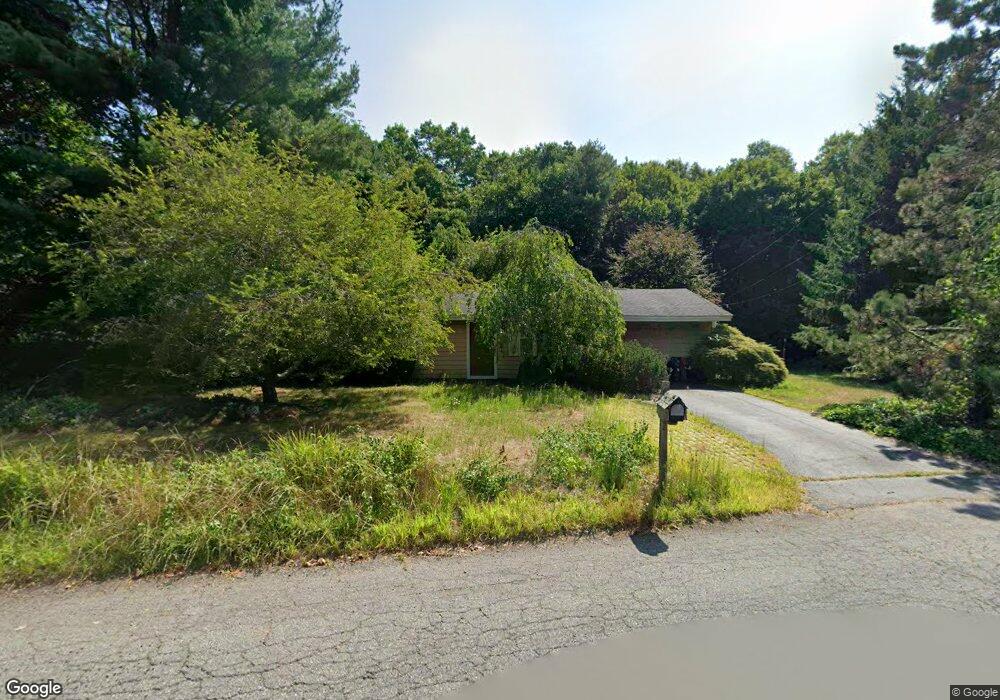
87 Flintlock Rd Taunton, MA 02780
Whittenton Junction NeighborhoodEstimated Value: $449,488 - $468,000
3
Beds
2
Baths
1,316
Sq Ft
$350/Sq Ft
Est. Value
About This Home
This home is located at 87 Flintlock Rd, Taunton, MA 02780 and is currently estimated at $460,122, approximately $349 per square foot. 87 Flintlock Rd is a home located in Bristol County with nearby schools including Benjamin Friedman Middle School, Joseph C. Chamberlain Elementary School, and Taunton High School.
Ownership History
Date
Name
Owned For
Owner Type
Purchase Details
Closed on
Jun 10, 1984
Bought by
Fantasia Robert A
Current Estimated Value
Create a Home Valuation Report for This Property
The Home Valuation Report is an in-depth analysis detailing your home's value as well as a comparison with similar homes in the area
Home Values in the Area
Average Home Value in this Area
Purchase History
| Date | Buyer | Sale Price | Title Company |
|---|---|---|---|
| Fantasia Robert A | -- | -- |
Source: Public Records
Mortgage History
| Date | Status | Borrower | Loan Amount |
|---|---|---|---|
| Open | Fantasia Robert A | $70,000 | |
| Closed | Fantasia Robert A | $50,500 |
Source: Public Records
Tax History
| Year | Tax Paid | Tax Assessment Tax Assessment Total Assessment is a certain percentage of the fair market value that is determined by local assessors to be the total taxable value of land and additions on the property. | Land | Improvement |
|---|---|---|---|---|
| 2025 | $4,290 | $392,100 | $130,300 | $261,800 |
| 2024 | $4,019 | $359,200 | $130,300 | $228,900 |
| 2023 | $4,021 | $333,700 | $136,200 | $197,500 |
| 2022 | $3,719 | $282,200 | $105,600 | $176,600 |
| 2021 | $3,530 | $248,600 | $96,000 | $152,600 |
| 2020 | $393 | $236,700 | $96,000 | $140,700 |
| 2019 | $340 | $226,200 | $96,000 | $130,200 |
| 2018 | $3,315 | $210,900 | $97,000 | $113,900 |
| 2017 | $3,188 | $202,900 | $91,900 | $111,000 |
| 2016 | $3,073 | $196,000 | $89,300 | $106,700 |
| 2015 | $2,850 | $189,900 | $86,700 | $103,200 |
| 2014 | $2,701 | $184,900 | $86,700 | $98,200 |
Source: Public Records
Map
Nearby Homes
- 169 Powderhorn Dr
- 193 Fremont St
- 17 Barry Dr
- 109 Partridge Cir
- 750 Whittenton St Unit 221
- 22 Thayer Dr
- 49 Eastbridge Rd
- 111 Dunbar St
- 0 Montclair Ave Unit 72130752
- 563 Whittenton St
- 2 Norton Ave
- 10 Johnny Mac Way Unit B
- 193 Tremont St Unit 85
- 0 Whittenton St
- 214 Eldridge St
- 17 Davis St
- 34 Warren St
- 38 Alcott Cir Unit N4
- 849 Crane Ave S
- 68 Fremont St
- 95 Flintlock Rd
- 77 Flintlock Rd
- 19 Powderhorn Dr
- 90 Flintlock Rd
- 29 Powderhorn Dr
- 103 Flintlock Rd
- 76 Flintlock Rd
- 124 Flintlock Rd
- 39 Powderhorn Dr
- 66 Flintlock Rd
- 111 Flintlock Rd
- 57 Flintlock Rd
- 21 Pheasant Run
- 49 Powderhorn Dr
- 7 Pheasant Run
- 56 Flintlock Rd
- 16 Powderhorn Dr
- 26 Powderhorn Dr
- 121 Flintlock Rd
- 35 Pheasant Run
Your Personal Tour Guide
Ask me questions while you tour the home.