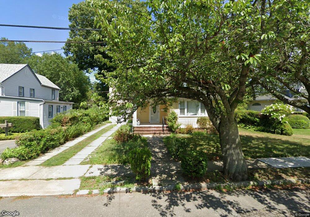
87 Grove St Lynbrook, NY 11563
Estimated Value: $929,000 - $957,655
--
Bed
1
Bath
2,955
Sq Ft
$319/Sq Ft
Est. Value
About This Home
This home is located at 87 Grove St, Lynbrook, NY 11563 and is currently estimated at $943,328, approximately $319 per square foot. 87 Grove St is a home located in Nassau County with nearby schools including Davison Avenue Intermediate School, Maurice W. Downing Primary K-2 School, and Howard T Herber Middle School.
Ownership History
Date
Name
Owned For
Owner Type
Purchase Details
Closed on
Oct 26, 2021
Sold by
Carlos R Bejarano and Valerie G Bejarano Estate
Bought by
Shah Ashmead Anthony and Shah Jessica
Current Estimated Value
Home Financials for this Owner
Home Financials are based on the most recent Mortgage that was taken out on this home.
Original Mortgage
$548,000
Outstanding Balance
$502,287
Interest Rate
3.01%
Mortgage Type
New Conventional
Estimated Equity
$441,041
Create a Home Valuation Report for This Property
The Home Valuation Report is an in-depth analysis detailing your home's value as well as a comparison with similar homes in the area
Home Values in the Area
Average Home Value in this Area
Purchase History
| Date | Buyer | Sale Price | Title Company |
|---|---|---|---|
| Shah Ashmead Anthony | $685,000 | Old Republic National Title | |
| Shah Ashmead Anthony | $685,000 | Old Republic National Title |
Source: Public Records
Mortgage History
| Date | Status | Borrower | Loan Amount |
|---|---|---|---|
| Open | Shah Ashmead Anthony | $548,000 | |
| Closed | Shah Ashmead Anthony | $548,000 |
Source: Public Records
Tax History Compared to Growth
Tax History
| Year | Tax Paid | Tax Assessment Tax Assessment Total Assessment is a certain percentage of the fair market value that is determined by local assessors to be the total taxable value of land and additions on the property. | Land | Improvement |
|---|---|---|---|---|
| 2025 | $12,893 | $592 | $242 | $350 |
| 2024 | $1,397 | $641 | $262 | $379 |
| 2023 | $14,469 | $659 | $269 | $390 |
| 2022 | $14,469 | $659 | $269 | $390 |
| 2021 | $12,882 | $622 | $254 | $368 |
| 2020 | $7,941 | $801 | $442 | $359 |
| 2019 | $850 | $859 | $445 | $414 |
| 2018 | $7,057 | $916 | $0 | $0 |
| 2017 | $7,464 | $973 | $464 | $509 |
| 2016 | $8,535 | $994 | $474 | $520 |
| 2015 | $961 | $994 | $474 | $520 |
| 2014 | $961 | $994 | $474 | $520 |
| 2013 | $865 | $994 | $474 | $520 |
Source: Public Records
Map
Nearby Homes
- 318 Vincent Ave
- 89 Rolling St
- 5 Lawrence Ave
- 85 Edmund St
- 31 Grace Ave
- 118 Edmund St
- 54 Lynbrook Ave
- 45 Lynbrook Ave
- 266 Earle Ave
- 92 Walnut St
- 9 Christabel St
- 80 Oak St
- 127 Hempstead Ave
- 137 Charles St
- 63 Central Ave
- 90 Pearsall Ave
- 60 Hempstead Ave Unit 1H
- 60 Hempstead Ave Unit 1O
- 60 Hempstead Ave Unit 1J
- 60 Hempstead Ave Unit 1K