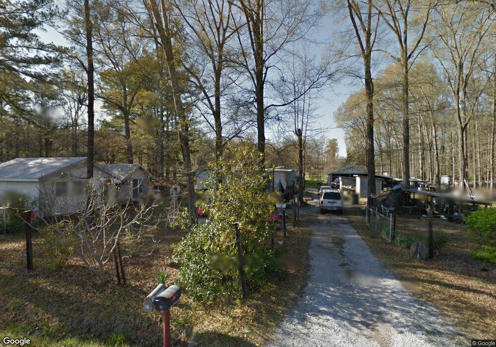
87 Hawthorn Dr Calera, AL 35040
Estimated Value: $102,000 - $200,000
--
Bed
--
Bath
820
Sq Ft
$162/Sq Ft
Est. Value
About This Home
This home is located at 87 Hawthorn Dr, Calera, AL 35040 and is currently estimated at $133,199, approximately $162 per square foot. 87 Hawthorn Dr is a home with nearby schools including Calera Intermediate School, Calera Elementary School, and Calera Middle School.
Ownership History
Date
Name
Owned For
Owner Type
Purchase Details
Closed on
Nov 25, 2024
Sold by
Natami Llc
Bought by
Jacuinde Ivan Aguirre
Current Estimated Value
Purchase Details
Closed on
Sep 9, 2024
Sold by
George Kenneth Wayne
Bought by
Natami Llc
Home Financials for this Owner
Home Financials are based on the most recent Mortgage that was taken out on this home.
Original Mortgage
$7,000
Interest Rate
6.73%
Mortgage Type
Construction
Purchase Details
Closed on
Sep 17, 2019
Sold by
Marchant David L and Marchant Frances
Bought by
George Kenneth Wayne
Create a Home Valuation Report for This Property
The Home Valuation Report is an in-depth analysis detailing your home's value as well as a comparison with similar homes in the area
Home Values in the Area
Average Home Value in this Area
Purchase History
| Date | Buyer | Sale Price | Title Company |
|---|---|---|---|
| Jacuinde Ivan Aguirre | $100,000 | Authority Title And Escrow | |
| Jacuinde Ivan Aguirre | $100,000 | Authority Title And Escrow | |
| Natami Llc | $48,000 | None Listed On Document | |
| George Kenneth Wayne | -- | None Available |
Source: Public Records
Mortgage History
| Date | Status | Borrower | Loan Amount |
|---|---|---|---|
| Previous Owner | Natami Llc | $7,000 |
Source: Public Records
Tax History Compared to Growth
Tax History
| Year | Tax Paid | Tax Assessment Tax Assessment Total Assessment is a certain percentage of the fair market value that is determined by local assessors to be the total taxable value of land and additions on the property. | Land | Improvement |
|---|---|---|---|---|
| 2024 | $589 | $13,380 | $0 | $0 |
| 2023 | $49 | $11,940 | $0 | $0 |
| 2022 | $245 | $11,340 | $0 | $0 |
| 2021 | $40 | $7,400 | $0 | $0 |
| 2020 | $40 | $6,540 | $0 | $0 |
| 2019 | $40 | $6,320 | $0 | $0 |
| 2017 | $39 | $6,040 | $0 | $0 |
| 2015 | $189 | $5,280 | $0 | $0 |
| 2014 | $42 | $5,220 | $0 | $0 |
Source: Public Records
Map
Nearby Homes
- 2080 Carson St
- 983 Meriweather Dr
- 11 Oneal Dr
- 1003 Meriweather Dr
- 1873 19th St
- 1893 Deborah Dr
- 401 Meriweather Ln
- 0 17th St Unit 3 21431348
- 0 19th St Unit 5 21431344
- 518 19th St Unit 7
- 11 and 12 19th St Unit 11 & 12
- 207 Pamela Dr
- 0 Milstead Dr Unit 1
- 0 16th St Unit 13 21431330
- 0 16th St Unit 12 21431329
- 0 16th St Unit 11 21431327
- 971 18th St
- 2700 Highway 16
- 616 Klynes Dr
- 604 Klynes Dr
- 65 Greenfern Dr
- 71 Greenfern Dr
- 165 Hawthorn Dr
- 19 Hawthorn Dr
- 195 Hawthorn Dr
- 135 Greenfern Dr
- 140 Greenfern Dr
- 210 Greenfern Dr
- 141 Dunwar Dr
- 91 Dunwar Dr
- 161 Dunwar Dr
- 90 Dunwar Dr
- 130 Dunwar Dr
- 9600 Highway 25
- 195 Dunwar Dr
- 150 Dunwar Dr
- 56 Dunwar Dr
- 9260 Highway 25
- 215 Dunwar Dr
- 285 Hawthorn Dr